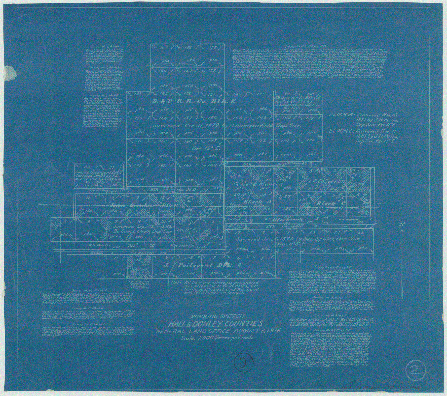
Donley County Working Sketch 2
-
Map/Doc
68735
-
Collection
General Map Collection
-
Object Dates
8/3/1916 (Creation Date)
-
Counties
Donley Hall
-
Subjects
Surveying Working Sketch
-
Height x Width
15.2 x 17.1 inches
38.6 x 43.4 cm
-
Scale
1" = 2000 varas
Part of: General Map Collection
Flight Mission No. BRE-1P, Frame 4, Nueces County

Print $20.00
- Digital $50.00
Flight Mission No. BRE-1P, Frame 4, Nueces County
1956
Size 18.3 x 22.2 inches
Map/Doc 86612
Irion County Rolled Sketch 10

Print $20.00
- Digital $50.00
Irion County Rolled Sketch 10
1942
Size 29.8 x 29.1 inches
Map/Doc 6322
Map and Profile of the Denison and Pacific Railway from Denison to Whitesboro

Print $40.00
- Digital $50.00
Map and Profile of the Denison and Pacific Railway from Denison to Whitesboro
1878
Size 42.5 x 57.5 inches
Map/Doc 64284
Mills County Sketch File 4

Print $4.00
- Digital $50.00
Mills County Sketch File 4
Size 8.8 x 8.3 inches
Map/Doc 31648
Terrell County Rolled Sketch 32

Print $20.00
- Digital $50.00
Terrell County Rolled Sketch 32
Size 20.6 x 25.4 inches
Map/Doc 7938
Presidio County Working Sketch 91

Print $40.00
- Digital $50.00
Presidio County Working Sketch 91
1974
Size 42.0 x 59.4 inches
Map/Doc 71768
Nueces County Rolled Sketch 113A

Print $20.00
- Digital $50.00
Nueces County Rolled Sketch 113A
1972
Size 19.1 x 24.4 inches
Map/Doc 7121
Nueces County Sketch File 54

Print $4.00
- Digital $50.00
Nueces County Sketch File 54
1856
Size 12.7 x 8.1 inches
Map/Doc 32865
Llano County Sketch File 12

Print $14.00
- Digital $50.00
Llano County Sketch File 12
1889
Size 14.0 x 8.5 inches
Map/Doc 30380
Cherokee County Sketch File 11

Print $4.00
- Digital $50.00
Cherokee County Sketch File 11
1852
Size 11.5 x 8.2 inches
Map/Doc 18138
Wilbarger County Aerial Photograph Index Sheet 5

Print $20.00
- Digital $50.00
Wilbarger County Aerial Photograph Index Sheet 5
1950
Size 22.3 x 18.0 inches
Map/Doc 83754
St. Louis, Brownsville & Mexico Railway Location Map from Mile 120 to Rio Grande

Print $40.00
- Digital $50.00
St. Louis, Brownsville & Mexico Railway Location Map from Mile 120 to Rio Grande
1905
Size 20.2 x 61.4 inches
Map/Doc 64169
You may also like
The Republic County of Shelby. February 1, 1842

Print $20.00
The Republic County of Shelby. February 1, 1842
2020
Size 20.0 x 21.7 inches
Map/Doc 96283
Austin County Sketch File 4

Print $8.00
- Digital $50.00
Austin County Sketch File 4
1881
Size 12.9 x 8.3 inches
Map/Doc 13857
Travis County Working Sketch 44

Print $20.00
- Digital $50.00
Travis County Working Sketch 44
1974
Size 22.3 x 26.4 inches
Map/Doc 69428
Jefferson Co.

Print $20.00
- Digital $50.00
Jefferson Co.
1918
Size 46.7 x 40.8 inches
Map/Doc 16860
Edwards County Working Sketch 47

Print $20.00
- Digital $50.00
Edwards County Working Sketch 47
1950
Size 37.9 x 24.1 inches
Map/Doc 68923
Grayson County Working Sketch 6

Print $20.00
- Digital $50.00
Grayson County Working Sketch 6
1940
Size 28.6 x 40.5 inches
Map/Doc 63245
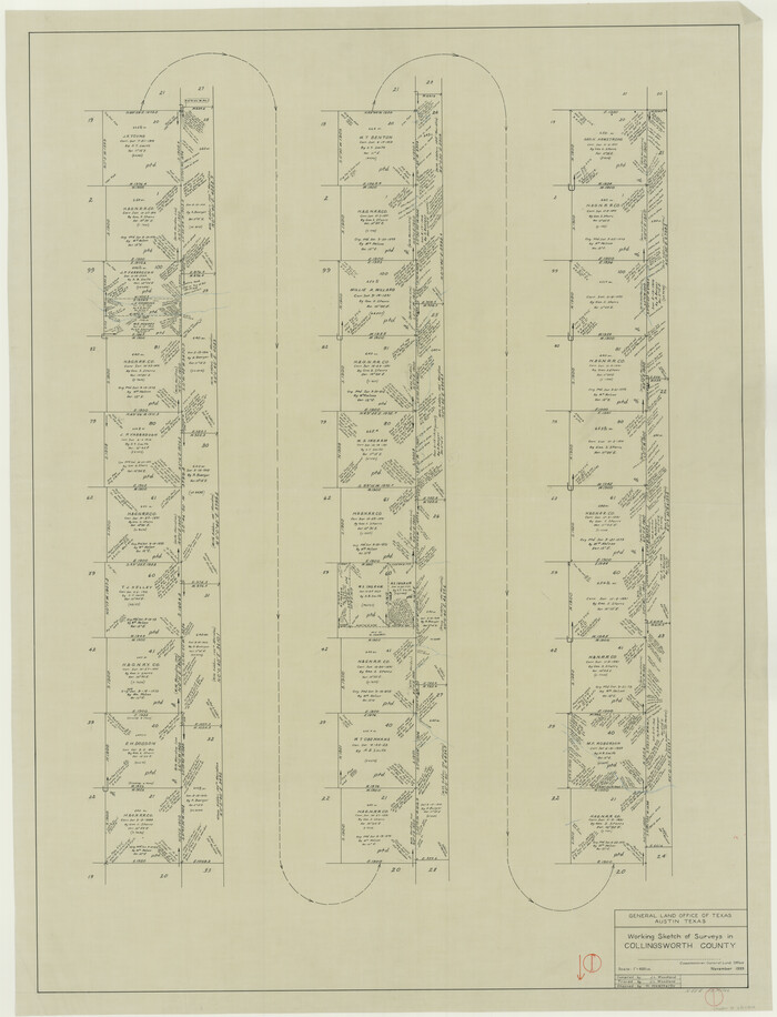
Collingsworth County Working Sketch 1
Print $20.00
- Digital $50.00
Collingsworth County Working Sketch 1
1939
Size 43.0 x 32.8 inches
Map/Doc 68089
Hunt County Sketch File 28

Print $4.00
- Digital $50.00
Hunt County Sketch File 28
1860
Size 8.5 x 8.2 inches
Map/Doc 27128

Flight Mission No. DAG-18K, Frame 190, Matagorda County

Print $20.00
- Digital $50.00
Flight Mission No. DAG-18K, Frame 190, Matagorda County
1952
Size 18.6 x 22.3 inches
Map/Doc 86382
Kerr County Working Sketch 26

Print $20.00
- Digital $50.00
Kerr County Working Sketch 26
1969
Size 31.2 x 32.1 inches
Map/Doc 70057
Crosby County Sketch File 9

Print $8.00
- Digital $50.00
Crosby County Sketch File 9
1887
Size 9.1 x 7.9 inches
Map/Doc 20007