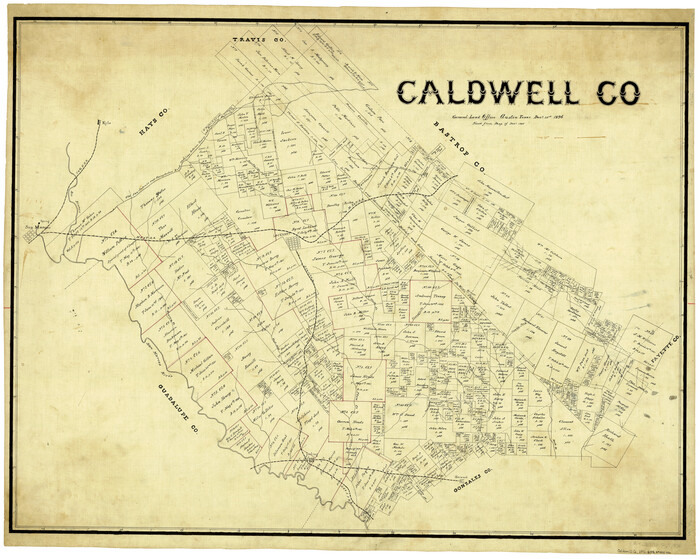
Flight Mission No. DQN-7K, Frame 34, Calhoun County
DQN-7K-34
-
Map/Doc
84472
-
Collection
General Map Collection
-
Object Dates
1953/12/6 (Creation Date)
-
People and Organizations
U. S. Department of Agriculture (Publisher)
-
Counties
Calhoun
-
Subjects
Aerial Photograph
-
Height x Width
18.5 x 22.1 inches
47.0 x 56.1 cm
-
Comments
Flown by Aero Exploration Company of Tulsa, Oklahoma.
Part of: General Map Collection
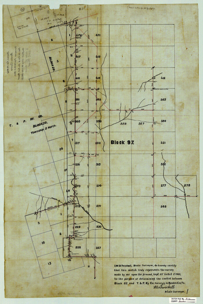
Borden County Sketch File 4a

Print $40.00
- Digital $50.00
Borden County Sketch File 4a
Size 27.1 x 18.1 inches
Map/Doc 10934
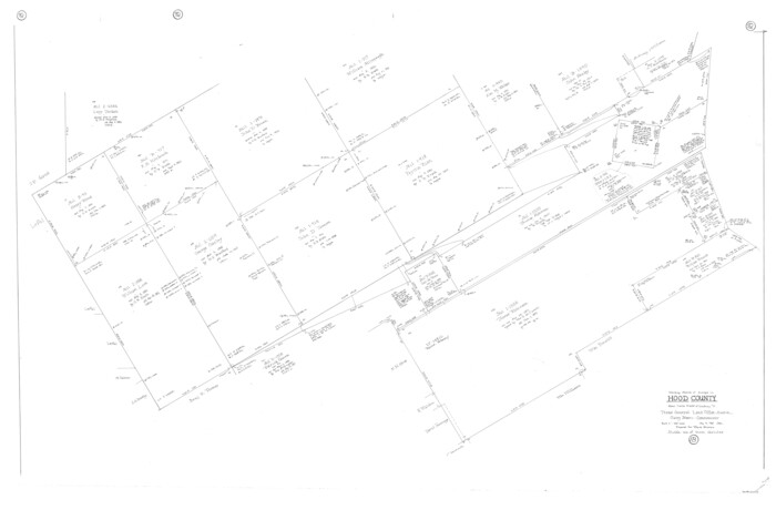
Hood County Working Sketch 18

Print $40.00
- Digital $50.00
Hood County Working Sketch 18
1987
Size 38.8 x 59.0 inches
Map/Doc 66212
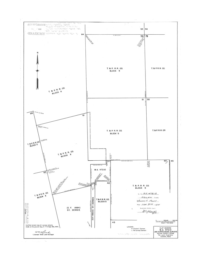
Nolan County Rolled Sketch 1

Print $20.00
- Digital $50.00
Nolan County Rolled Sketch 1
Size 27.8 x 21.5 inches
Map/Doc 6859
Medina County Boundary File 1
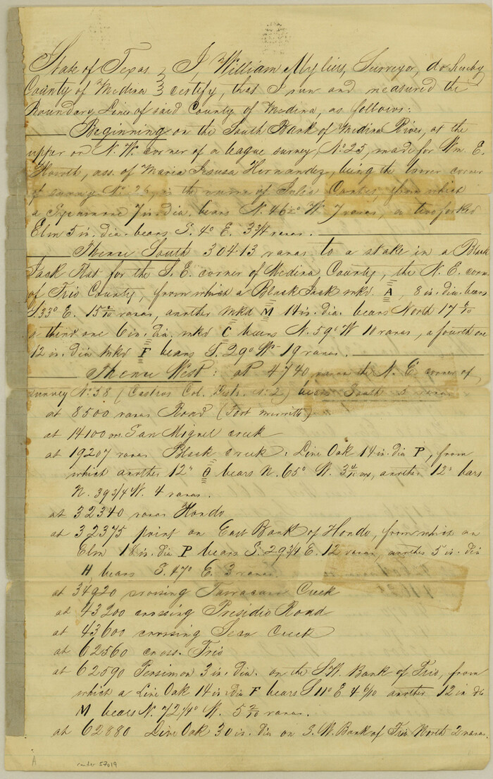

Print $14.00
- Digital $50.00
Medina County Boundary File 1
Size 12.8 x 8.1 inches
Map/Doc 57019
Dallam County Rolled Sketch 8
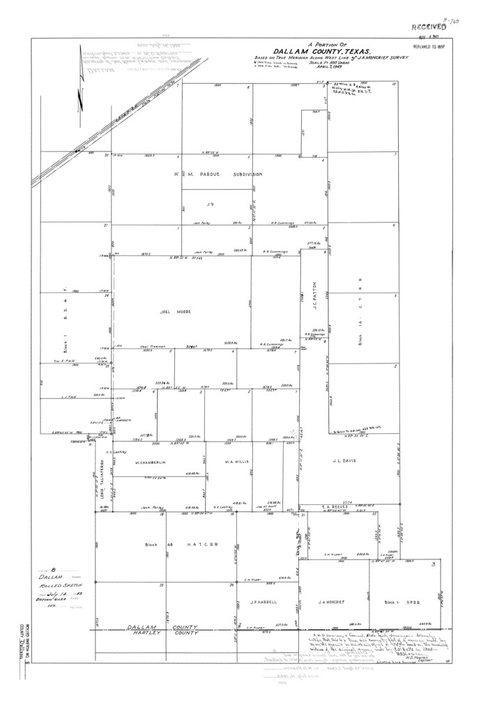

Print $20.00
- Digital $50.00
Dallam County Rolled Sketch 8
1949
Size 37.7 x 26.3 inches
Map/Doc 5686
Sutton County Working Sketch 54
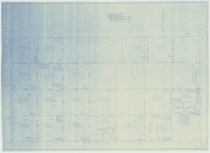

Print $20.00
- Digital $50.00
Sutton County Working Sketch 54
1957
Size 28.0 x 38.4 inches
Map/Doc 62397
[F. W. & D. C. Ry. Co. Alignment and Right of Way Map, Clay County]
![64742, [F. W. & D. C. Ry. Co. Alignment and Right of Way Map, Clay County], General Map Collection](https://historictexasmaps.com/wmedia_w700/maps/64742-GC.tif.jpg)
![64742, [F. W. & D. C. Ry. Co. Alignment and Right of Way Map, Clay County], General Map Collection](https://historictexasmaps.com/wmedia_w700/maps/64742-GC.tif.jpg)
Print $20.00
- Digital $50.00
[F. W. & D. C. Ry. Co. Alignment and Right of Way Map, Clay County]
1927
Size 18.8 x 11.8 inches
Map/Doc 64742
Val Verde County Rolled Sketch 47

Print $20.00
- Digital $50.00
Val Verde County Rolled Sketch 47
Size 17.4 x 23.0 inches
Map/Doc 49466
Flight Mission No. CGI-2N, Frame 182, Cameron County
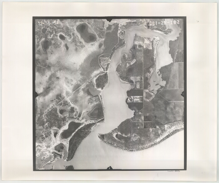

Print $20.00
- Digital $50.00
Flight Mission No. CGI-2N, Frame 182, Cameron County
1954
Size 18.5 x 22.2 inches
Map/Doc 84542
Gregg County Sketch File 1


Print $4.00
- Digital $50.00
Gregg County Sketch File 1
1872
Size 8.0 x 10.1 inches
Map/Doc 24551
Hardin County Rolled Sketch 16

Print $39.00
- Digital $50.00
Hardin County Rolled Sketch 16
1940
Size 9.9 x 15.9 inches
Map/Doc 45750
You may also like
Roundabout The Nation's Capital with Descriptive Notes
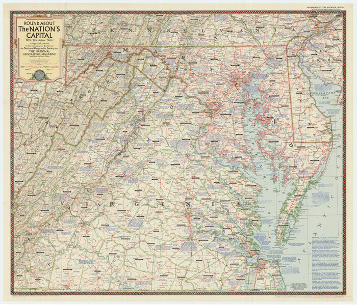

Roundabout The Nation's Capital with Descriptive Notes
1956
Size 35.0 x 29.8 inches
Map/Doc 92362
Flight Mission No. CUG-1P, Frame 168, Kleberg County
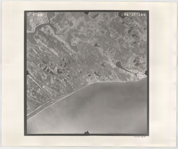

Print $20.00
- Digital $50.00
Flight Mission No. CUG-1P, Frame 168, Kleberg County
1956
Size 18.6 x 22.2 inches
Map/Doc 86175
Map of the Survey of the 100th Meridian of Longitude west of Greenwich beginning at Red River and extending to the parallel 36 1/2 degrees north latitude


Print $40.00
- Digital $50.00
Map of the Survey of the 100th Meridian of Longitude west of Greenwich beginning at Red River and extending to the parallel 36 1/2 degrees north latitude
Size 11.4 x 111.7 inches
Map/Doc 93191
Flight Mission No. BQR-4K, Frame 67, Brazoria County


Print $20.00
- Digital $50.00
Flight Mission No. BQR-4K, Frame 67, Brazoria County
1952
Size 18.7 x 22.5 inches
Map/Doc 84000
Webb County Working Sketch 44
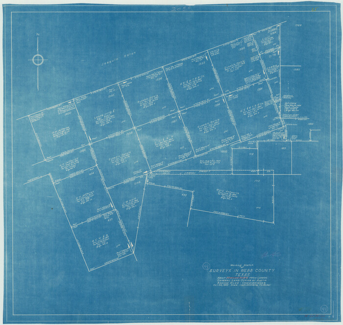

Print $20.00
- Digital $50.00
Webb County Working Sketch 44
1943
Size 26.0 x 27.4 inches
Map/Doc 72409
Duval County Rolled Sketch 46
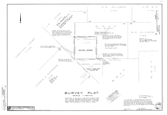

Print $20.00
- Digital $50.00
Duval County Rolled Sketch 46
1985
Size 24.9 x 36.1 inches
Map/Doc 5761
Flight Mission No. DQN-2K, Frame 40, Calhoun County
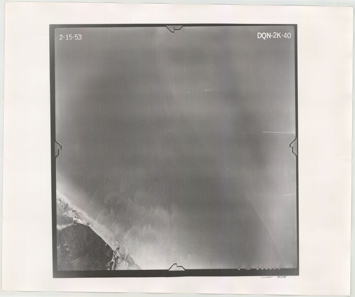

Print $20.00
- Digital $50.00
Flight Mission No. DQN-2K, Frame 40, Calhoun County
1953
Size 18.6 x 22.2 inches
Map/Doc 84245
Location St. L. & S. W. R. R. Through Cherokee County


Print $40.00
- Digital $50.00
Location St. L. & S. W. R. R. Through Cherokee County
Size 108.6 x 39.0 inches
Map/Doc 64043
Coast Chart No. 211 - Padre I. and Laguna Madre Lat. 27° 12' to Lat. 26° 33' Texas
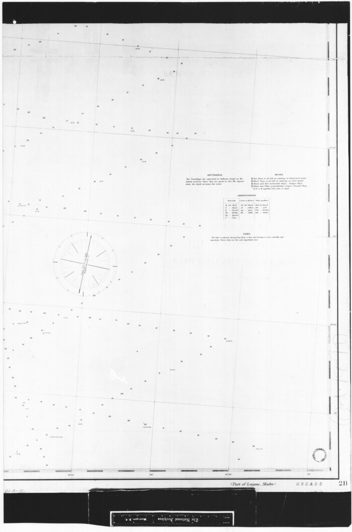

Print $20.00
- Digital $50.00
Coast Chart No. 211 - Padre I. and Laguna Madre Lat. 27° 12' to Lat. 26° 33' Texas
1890
Size 27.5 x 18.2 inches
Map/Doc 72822
Knox County Working Sketch 4
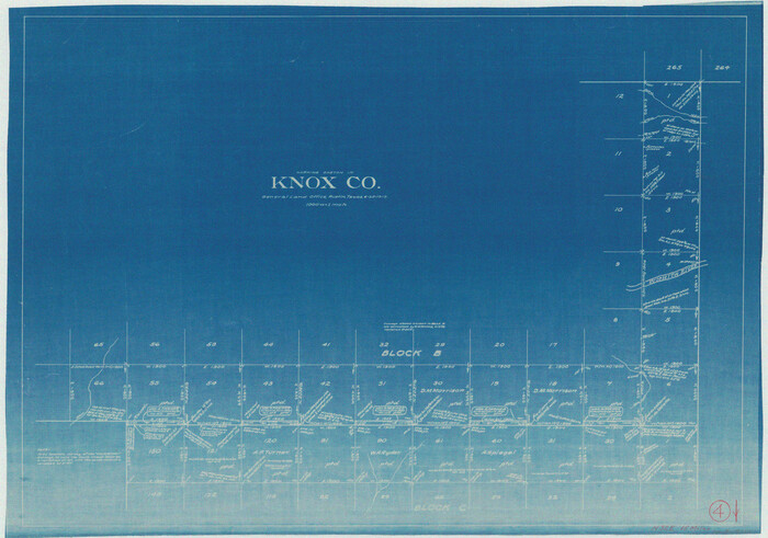

Print $20.00
- Digital $50.00
Knox County Working Sketch 4
1919
Size 18.0 x 25.6 inches
Map/Doc 70246
Map of Wolters Addition to Big Lake Reagan County, Texas Showing the Original Townsite of Big Lake and Japson's Addition


Print $40.00
- Digital $50.00
Map of Wolters Addition to Big Lake Reagan County, Texas Showing the Original Townsite of Big Lake and Japson's Addition
1948
Size 42.4 x 49.6 inches
Map/Doc 89712
Medina County Sketch File 7


Print $20.00
- Digital $50.00
Medina County Sketch File 7
Size 25.0 x 10.6 inches
Map/Doc 12067

