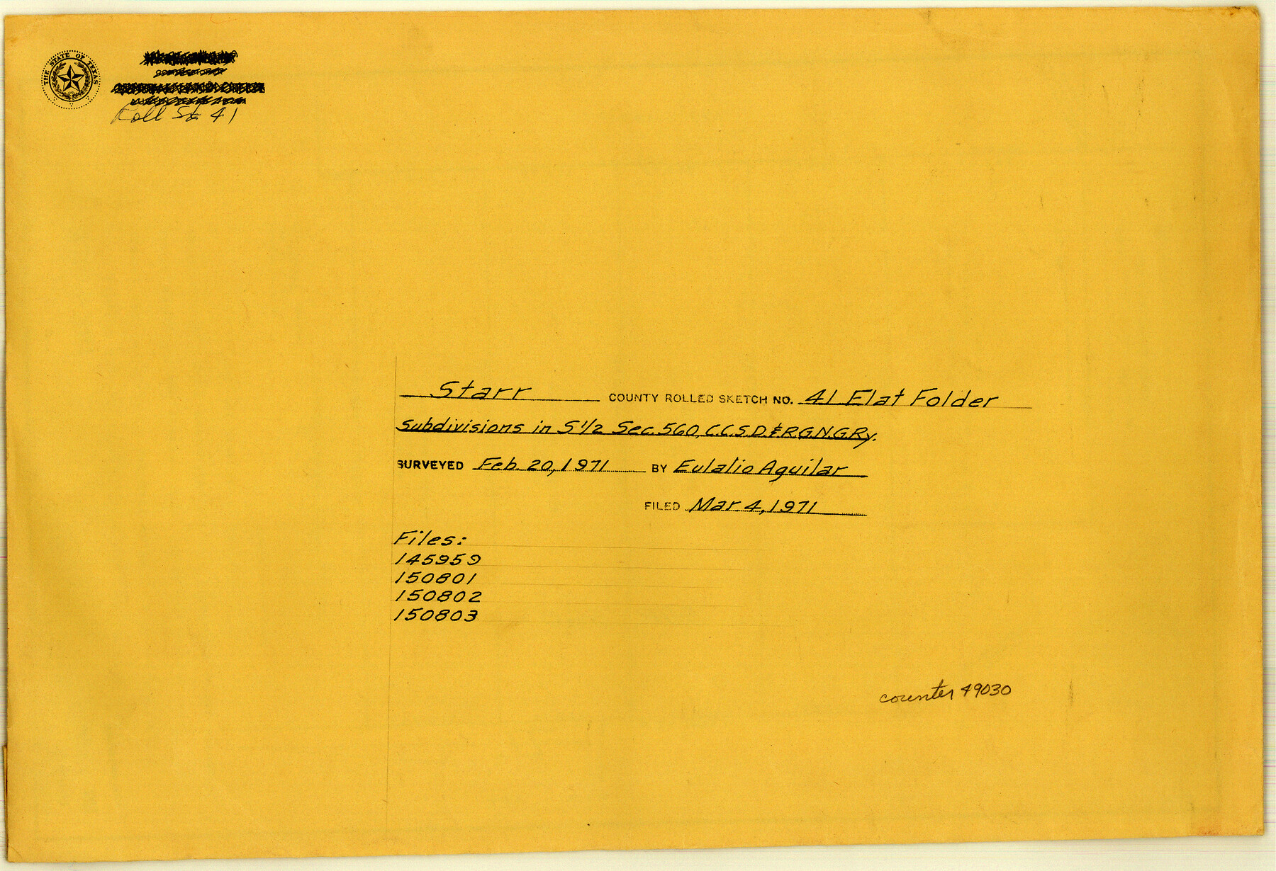
Starr County Rolled Sketch 41
[Subdivisions in the S 1/2 Sec. 560, C. C. S. D. & R. G. N. G. Ry. Co.]
-
Map/Doc
49030
-
Collection
General Map Collection
-
Object Dates
1971/2/20 (Creation Date)
1971/3/4 (File Date)
-
People and Organizations
Eulalio Aguilar (Surveyor/Engineer)
-
Counties
Starr
-
Subjects
Surveying Rolled Sketch
-
Height x Width
10.8 x 15.8 inches
27.4 x 40.1 cm
-
Medium
multi-page, multi-format
-
Scale
1" = 200 varas
-
Comments
See School Files 145959, 150801, 150802, and 150803.
Part of: General Map Collection
Schleicher County Sketch File 29

Print $44.00
- Digital $50.00
Schleicher County Sketch File 29
1940
Size 31.9 x 23.7 inches
Map/Doc 12306
Controlled Mosaic by Jack Amman Photogrammetric Engineers, Inc - Sheet 22

Print $20.00
- Digital $50.00
Controlled Mosaic by Jack Amman Photogrammetric Engineers, Inc - Sheet 22
1954
Size 20.0 x 24.0 inches
Map/Doc 83471
Grayson County Working Sketch 12

Print $20.00
- Digital $50.00
Grayson County Working Sketch 12
1951
Size 25.7 x 24.0 inches
Map/Doc 63251
Harbor Pass and Bar at Brazos Santiago, Texas

Print $20.00
- Digital $50.00
Harbor Pass and Bar at Brazos Santiago, Texas
1879
Size 18.2 x 27.6 inches
Map/Doc 72999
Flight Mission No. BRE-1P, Frame 136, Nueces County

Print $20.00
- Digital $50.00
Flight Mission No. BRE-1P, Frame 136, Nueces County
1956
Size 18.7 x 22.7 inches
Map/Doc 86696
Anderson County

Print $40.00
- Digital $50.00
Anderson County
1942
Size 54.8 x 48.8 inches
Map/Doc 95415
Harrison County Working Sketch 19

Print $20.00
- Digital $50.00
Harrison County Working Sketch 19
1978
Size 31.8 x 33.1 inches
Map/Doc 66039
[Shelby District]
![69740, [Shelby District], General Map Collection](https://historictexasmaps.com/wmedia_w700/maps/69740.tif.jpg)
Print $2.00
- Digital $50.00
[Shelby District]
1845
Size 6.9 x 7.6 inches
Map/Doc 69740
Hutchinson County Rolled Sketch 13

Print $20.00
- Digital $50.00
Hutchinson County Rolled Sketch 13
Size 17.8 x 16.7 inches
Map/Doc 6283
Coke County Sketch File 21

Print $20.00
- Digital $50.00
Coke County Sketch File 21
1911
Size 12.6 x 14.0 inches
Map/Doc 18614
Ward County Working Sketch 50

Print $20.00
- Digital $50.00
Ward County Working Sketch 50
1976
Size 31.1 x 29.1 inches
Map/Doc 72356
Flight Mission No. CRC-2R, Frame 121, Chambers County

Print $20.00
- Digital $50.00
Flight Mission No. CRC-2R, Frame 121, Chambers County
1956
Size 18.7 x 22.4 inches
Map/Doc 84745
You may also like
Hemphill County Rolled Sketch 16

Print $40.00
- Digital $50.00
Hemphill County Rolled Sketch 16
1961
Size 65.4 x 26.9 inches
Map/Doc 9156
Nacogdoches County Working Sketch 6

Print $20.00
- Digital $50.00
Nacogdoches County Working Sketch 6
1955
Size 14.7 x 12.5 inches
Map/Doc 71222
Jeff Davis County Rolled Sketch 44

Print $20.00
- Digital $50.00
Jeff Davis County Rolled Sketch 44
2014
Size 19.8 x 34.7 inches
Map/Doc 94243
Intracoastal Waterway in Texas - Corpus Christi to Point Isabel including Arroyo Colorado to Mo. Pac. R.R. Bridge Near Harlingen

Print $20.00
- Digital $50.00
Intracoastal Waterway in Texas - Corpus Christi to Point Isabel including Arroyo Colorado to Mo. Pac. R.R. Bridge Near Harlingen
1934
Size 21.9 x 33.5 inches
Map/Doc 61882
Bailey County Rolled Sketch RSH

Print $20.00
- Digital $50.00
Bailey County Rolled Sketch RSH
1907
Size 34.3 x 23.3 inches
Map/Doc 5112
Flight Mission No. DAG-14K, Frame 133, Matagorda County

Print $20.00
- Digital $50.00
Flight Mission No. DAG-14K, Frame 133, Matagorda County
1952
Size 17.6 x 17.4 inches
Map/Doc 86304
Jefferson County Sketch File 21a

Print $44.00
- Digital $50.00
Jefferson County Sketch File 21a
Size 12.4 x 15.1 inches
Map/Doc 28175
Hudspeth County Working Sketch 30

Print $40.00
- Digital $50.00
Hudspeth County Working Sketch 30
1972
Size 80.8 x 42.2 inches
Map/Doc 66312
San Augustine County Working Sketch 28

Print $20.00
- Digital $50.00
San Augustine County Working Sketch 28
2011
Size 23.4 x 36.7 inches
Map/Doc 90091
Flight Mission No. DQN-5K, Frame 27, Calhoun County

Print $20.00
- Digital $50.00
Flight Mission No. DQN-5K, Frame 27, Calhoun County
1953
Size 18.4 x 22.1 inches
Map/Doc 84378
Township 3 North Range 14 West, North Western District, Louisiana

Print $20.00
- Digital $50.00
Township 3 North Range 14 West, North Western District, Louisiana
1844
Size 19.8 x 24.7 inches
Map/Doc 65862
Map of Hays County

Print $20.00
- Digital $50.00
Map of Hays County
1877
Size 21.2 x 19.8 inches
Map/Doc 3646