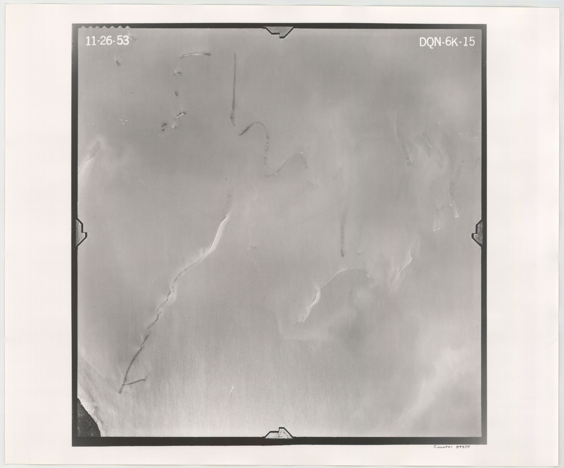
Flight Mission No. DQN-6K, Frame 15, Calhoun County
DQN-6K-15
-
Map/Doc
84437
-
Collection
General Map Collection
-
Object Dates
1953/11/26 (Creation Date)
-
People and Organizations
U. S. Department of Agriculture (Publisher)
-
Counties
Calhoun
-
Subjects
Aerial Photograph
-
Height x Width
18.4 x 22.2 inches
46.7 x 56.4 cm
-
Comments
Flown by Aero Exploration Company of Tulsa, Oklahoma.
Part of: General Map Collection
Maps of Gulf Intracoastal Waterway, Texas - Sabine River to the Rio Grande and connecting waterways including ship channels

Print $20.00
- Digital $50.00
Maps of Gulf Intracoastal Waterway, Texas - Sabine River to the Rio Grande and connecting waterways including ship channels
1966
Size 14.5 x 22.2 inches
Map/Doc 61972
Copy of Surveyor's Field Book, Morris Browning - In Blocks 7, 5 & 4, I&GNRRCo., Hutchinson and Carson Counties, Texas

Print $2.00
- Digital $50.00
Copy of Surveyor's Field Book, Morris Browning - In Blocks 7, 5 & 4, I&GNRRCo., Hutchinson and Carson Counties, Texas
1888
Size 7.0 x 8.9 inches
Map/Doc 62268
Reagan County Working Sketch 10

Print $20.00
- Digital $50.00
Reagan County Working Sketch 10
1942
Size 21.5 x 27.2 inches
Map/Doc 71850
Dimmit County Sketch File 20 1/2

Print $43.00
- Digital $50.00
Dimmit County Sketch File 20 1/2
Size 9.0 x 8.6 inches
Map/Doc 21104
Floyd County Boundary File 2

Print $53.00
- Digital $50.00
Floyd County Boundary File 2
Size 8.9 x 4.2 inches
Map/Doc 53462
Map of the upper surveys in Robertson's Colony Sold by the State of Coahuila and Texas

Print $20.00
- Digital $50.00
Map of the upper surveys in Robertson's Colony Sold by the State of Coahuila and Texas
Size 26.8 x 22.0 inches
Map/Doc 82
Pecos County Rolled Sketch 167

Print $20.00
- Digital $50.00
Pecos County Rolled Sketch 167
1886
Size 41.1 x 27.1 inches
Map/Doc 7291
Presidio County Rolled Sketch 41

Print $20.00
- Digital $50.00
Presidio County Rolled Sketch 41
1907
Size 20.7 x 25.0 inches
Map/Doc 7338
Zavala County Sketch File 49

Print $10.00
- Digital $50.00
Zavala County Sketch File 49
1955
Size 14.5 x 9.1 inches
Map/Doc 41441
[Surveys in Milam's Colony between the Colorado River and northwest of the San Antonio Road]
![29, [Surveys in Milam's Colony between the Colorado River and northwest of the San Antonio Road], General Map Collection](https://historictexasmaps.com/wmedia_w700/maps/29-1.tif.jpg)
Print $20.00
- Digital $50.00
[Surveys in Milam's Colony between the Colorado River and northwest of the San Antonio Road]
Size 22.0 x 27.4 inches
Map/Doc 29
Bee County Sketch File 23

Print $8.00
- Digital $50.00
Bee County Sketch File 23
1878
Size 10.0 x 8.1 inches
Map/Doc 14318
Calcasieu Pass to Sabine Pass

Print $20.00
- Digital $50.00
Calcasieu Pass to Sabine Pass
1992
Size 44.5 x 35.8 inches
Map/Doc 69815
You may also like
Flight Mission No. BRA-7M, Frame 144, Jefferson County

Print $20.00
- Digital $50.00
Flight Mission No. BRA-7M, Frame 144, Jefferson County
1953
Size 18.5 x 22.3 inches
Map/Doc 85538
Hall County Rolled Sketch 5

Print $20.00
- Digital $50.00
Hall County Rolled Sketch 5
1914
Size 30.2 x 37.1 inches
Map/Doc 6049
General Highway Map. Detail of Cities and Towns in Val Verde County, Texas [Del Rio and vicinity]
![79695, General Highway Map. Detail of Cities and Towns in Val Verde County, Texas [Del Rio and vicinity], Texas State Library and Archives](https://historictexasmaps.com/wmedia_w700/maps/79695.tif.jpg)
Print $20.00
General Highway Map. Detail of Cities and Towns in Val Verde County, Texas [Del Rio and vicinity]
1961
Size 18.0 x 24.8 inches
Map/Doc 79695
Tarrant County Sketch File 20

Print $4.00
- Digital $50.00
Tarrant County Sketch File 20
1857
Size 7.0 x 7.3 inches
Map/Doc 37723
Texas Population Distribution in Cities, per the U.S. Census of 1910

Texas Population Distribution in Cities, per the U.S. Census of 1910
2022
Size 11.0 x 8.5 inches
Map/Doc 97092
Webb County Working Sketch 28

Print $20.00
- Digital $50.00
Webb County Working Sketch 28
1933
Size 32.8 x 22.4 inches
Map/Doc 72393
Working Sketch Reeves County [showing Blocks 70-72, C-8, 9, 17-18, and Texas & Pacific RR Block 58]
![91770, Working Sketch Reeves County [showing Blocks 70-72, C-8, 9, 17-18, and Texas & Pacific RR Block 58], Twichell Survey Records](https://historictexasmaps.com/wmedia_w700/maps/91770-1.tif.jpg)
Print $20.00
- Digital $50.00
Working Sketch Reeves County [showing Blocks 70-72, C-8, 9, 17-18, and Texas & Pacific RR Block 58]
1908
Size 21.6 x 17.2 inches
Map/Doc 91770
Dickens County Sketch File D1

Print $50.00
- Digital $50.00
Dickens County Sketch File D1
Size 13.0 x 19.4 inches
Map/Doc 20833
Flight Mission No. CUG-1P, Frame 50, Kleberg County

Print $20.00
- Digital $50.00
Flight Mission No. CUG-1P, Frame 50, Kleberg County
1956
Size 18.6 x 22.3 inches
Map/Doc 86128
Reeves County

Print $20.00
- Digital $50.00
Reeves County
1915
Size 46.5 x 35.7 inches
Map/Doc 16797
[Blk. O1, W. H. Godair]
![90632, [Blk. O1, W. H. Godair], Twichell Survey Records](https://historictexasmaps.com/wmedia_w700/maps/90632-1.tif.jpg)
Print $20.00
- Digital $50.00
[Blk. O1, W. H. Godair]
1913
Size 30.1 x 10.3 inches
Map/Doc 90632
San Jacinto River, Buff Lake Sheet 1/Caney Creek

Print $20.00
- Digital $50.00
San Jacinto River, Buff Lake Sheet 1/Caney Creek
1937
Size 18.7 x 37.6 inches
Map/Doc 65147