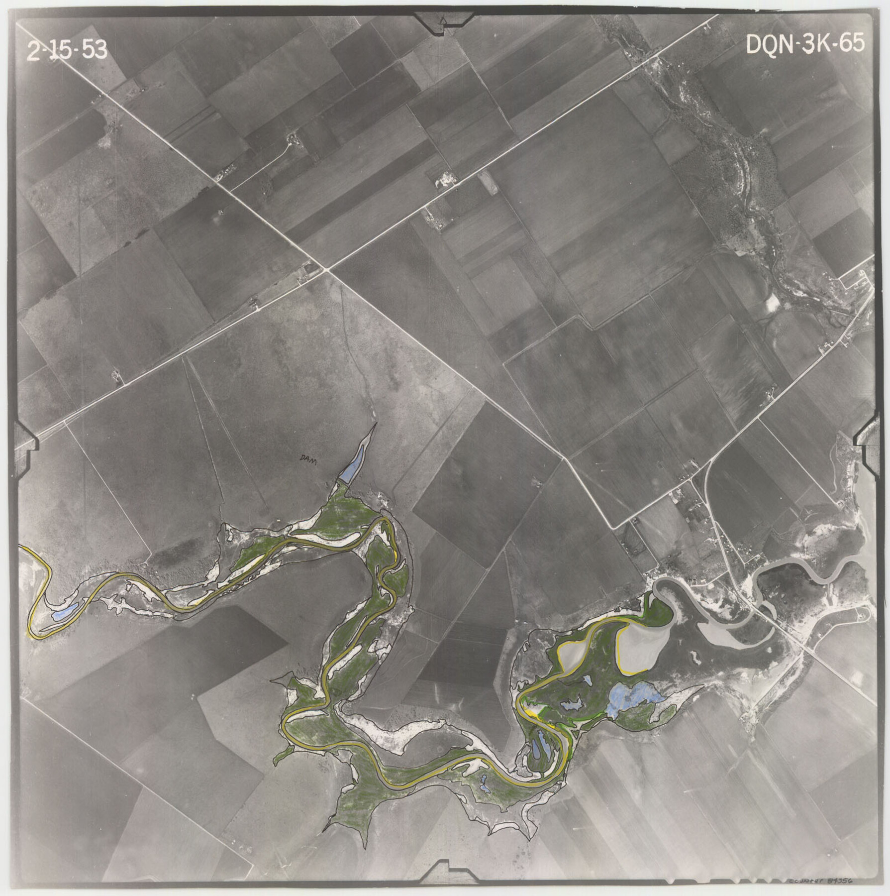
Flight Mission No. DQN-3K, Frame 65, Calhoun County
DQN-3K-65
-
Map/Doc
84356
-
Collection
General Map Collection
-
Object Dates
1953/2/15 (Creation Date)
-
People and Organizations
U. S. Department of Agriculture (Publisher)
-
Counties
Calhoun
-
Subjects
Aerial Photograph
-
Height x Width
16.2 x 16.1 inches
41.1 x 40.9 cm
-
Comments
Flown by Aero Exploration Company of Tulsa, Oklahoma.
Part of: General Map Collection
Matagorda County NRC Article 33.136 Sketch 5

Print $28.00
- Digital $50.00
Matagorda County NRC Article 33.136 Sketch 5
2009
Size 24.2 x 35.0 inches
Map/Doc 95006
Austin County Working Sketch Graphic Index

Print $20.00
- Digital $50.00
Austin County Working Sketch Graphic Index
1943
Size 38.6 x 41.1 inches
Map/Doc 76459

Flight Mission No. CRC-3R, Frame 7, Chambers County

Print $20.00
- Digital $50.00
Flight Mission No. CRC-3R, Frame 7, Chambers County
1956
Size 18.6 x 22.3 inches
Map/Doc 84781
Flight Mission No. CGI-3N, Frame 133, Cameron County

Print $20.00
- Digital $50.00
Flight Mission No. CGI-3N, Frame 133, Cameron County
1954
Size 18.5 x 22.1 inches
Map/Doc 84606
Crockett County Working Sketch 5

Print $40.00
- Digital $50.00
Crockett County Working Sketch 5
Size 12.3 x 62.5 inches
Map/Doc 68338
Travis County Appraisal District Plat Map 2_0219

Print $20.00
- Digital $50.00
Travis County Appraisal District Plat Map 2_0219
Size 21.6 x 26.5 inches
Map/Doc 94209
Plat showing survey of tracts in the C. A. West survey A-337 and the Wm. Standiferd survey A-301 in Bastrop County as surveyed for the Veteran's Land Board

Print $20.00
- Digital $50.00
Plat showing survey of tracts in the C. A. West survey A-337 and the Wm. Standiferd survey A-301 in Bastrop County as surveyed for the Veteran's Land Board
1992
Size 34.9 x 46.8 inches
Map/Doc 61151
Runnels County Rolled Sketch 28

Print $20.00
- Digital $50.00
Runnels County Rolled Sketch 28
1928
Size 19.8 x 39.4 inches
Map/Doc 7516
Navarro County Rolled Sketch 3

Print $20.00
- Digital $50.00
Navarro County Rolled Sketch 3
1893
Size 15.3 x 18.6 inches
Map/Doc 6838
Hamilton County Map

Print $40.00
- Digital $50.00
Hamilton County Map
1887
Size 38.2 x 54.4 inches
Map/Doc 16844
Dallas County Rolled Sketch 6

Print $20.00
- Digital $50.00
Dallas County Rolled Sketch 6
1983
Size 31.7 x 37.5 inches
Map/Doc 8769
You may also like
Flight Mission No. DQO-2K, Frame 133, Galveston County

Print $20.00
- Digital $50.00
Flight Mission No. DQO-2K, Frame 133, Galveston County
1952
Size 18.7 x 22.5 inches
Map/Doc 85030
Matagorda County Working Sketch 22

Print $20.00
- Digital $50.00
Matagorda County Working Sketch 22
1967
Size 30.0 x 38.8 inches
Map/Doc 70880
Map of the State of Texas [West Part]
![81921, Map of the State of Texas [West Part], General Map Collection](https://historictexasmaps.com/wmedia_w700/maps/81921.tif.jpg)
Print $40.00
- Digital $50.00
Map of the State of Texas [West Part]
1938
Size 68.7 x 38.2 inches
Map/Doc 81921
Leon County Working Sketch 16

Print $20.00
- Digital $50.00
Leon County Working Sketch 16
1958
Size 26.9 x 30.7 inches
Map/Doc 70415
Medina County Working Sketch Graphic Index

Print $40.00
- Digital $50.00
Medina County Working Sketch Graphic Index
1976
Size 52.8 x 42.8 inches
Map/Doc 76639
[D. & S. E. Surs., G. C. & S. F. Blk. 9 west of University Land Blks. 49 and 50]
![90308, [D. & S. E. Surs., G. C. & S. F. Blk. 9 west of University Land Blks. 49 and 50], Twichell Survey Records](https://historictexasmaps.com/wmedia_w700/maps/90308-1.tif.jpg)
Print $3.00
- Digital $50.00
[D. & S. E. Surs., G. C. & S. F. Blk. 9 west of University Land Blks. 49 and 50]
Size 11.3 x 15.4 inches
Map/Doc 90308
El Paso County Sketch File 1a

Print $4.00
- Digital $50.00
El Paso County Sketch File 1a
Size 12.1 x 8.2 inches
Map/Doc 21907
[Randall County map]
![91752, [Randall County map], Twichell Survey Records](https://historictexasmaps.com/wmedia_w700/maps/91752-1.tif.jpg)
Print $20.00
- Digital $50.00
[Randall County map]
Size 21.3 x 17.0 inches
Map/Doc 91752
Gulf Coast of the United States, Key West to Rio Grande

Print $20.00
- Digital $50.00
Gulf Coast of the United States, Key West to Rio Grande
1892
Size 27.3 x 18.3 inches
Map/Doc 72670
Flight Mission No. BQY-4M, Frame 117, Harris County

Print $20.00
- Digital $50.00
Flight Mission No. BQY-4M, Frame 117, Harris County
1953
Size 18.5 x 22.3 inches
Map/Doc 85284
Pecos County Rolled Sketch 128

Print $40.00
- Digital $50.00
Pecos County Rolled Sketch 128
1949
Size 43.6 x 54.0 inches
Map/Doc 9725
[Map of Portion of Pecos County as Surveyed by F. F. Friend]
![91562, [Map of Portion of Pecos County as Surveyed by F. F. Friend], Twichell Survey Records](https://historictexasmaps.com/wmedia_w700/maps/91562-1.tif.jpg)
Print $3.00
- Digital $50.00
[Map of Portion of Pecos County as Surveyed by F. F. Friend]
1926
Size 17.0 x 11.4 inches
Map/Doc 91562