[Section 34, Block 194 G. C. & S. F.]
186-61
-
Map/Doc
91672
-
Collection
Twichell Survey Records
-
Object Dates
4/27/1927 (Creation Date)
-
People and Organizations
J.A. Simpson (Surveyor/Engineer)
-
Counties
Pecos
-
Height x Width
7.5 x 5.9 inches
19.1 x 15.0 cm
Part of: Twichell Survey Records
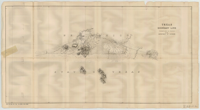
Texas Boundary Line

Print $20.00
- Digital $50.00
Texas Boundary Line
Size 21.4 x 11.8 inches
Map/Doc 92076
Map of Block "C" of J. E. and J. W. Rhea's Ranch situated in Parmer Co., Texas


Print $20.00
- Digital $50.00
Map of Block "C" of J. E. and J. W. Rhea's Ranch situated in Parmer Co., Texas
1905
Size 13.5 x 25.4 inches
Map/Doc 91600
[Sketch of counties just south of the Panhandle]
![90913, [Sketch of counties just south of the Panhandle], Twichell Survey Records](https://historictexasmaps.com/wmedia_w700/maps/90913-1.tif.jpg)
![90913, [Sketch of counties just south of the Panhandle], Twichell Survey Records](https://historictexasmaps.com/wmedia_w700/maps/90913-1.tif.jpg)
Print $20.00
- Digital $50.00
[Sketch of counties just south of the Panhandle]
Size 42.7 x 34.8 inches
Map/Doc 90913
[East-Central Crosby County]
![90503, [East-Central Crosby County], Twichell Survey Records](https://historictexasmaps.com/wmedia_w700/maps/90503-1.tif.jpg)
![90503, [East-Central Crosby County], Twichell Survey Records](https://historictexasmaps.com/wmedia_w700/maps/90503-1.tif.jpg)
Print $2.00
- Digital $50.00
[East-Central Crosby County]
Size 11.4 x 6.0 inches
Map/Doc 90503
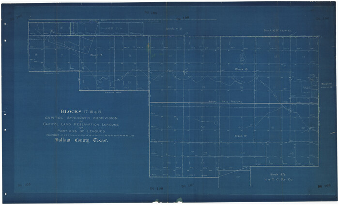
Blocks 17, 18 & 19, Capitol Syndicate Subdivision of Capitol Land Reservation Leagues of Portions of Leagues Number 16, 6, 7, 8, 9, 11, 12, 13, 14, 17, 18. 19, 20, 21, 22, 38, 39, 40, 41, 42, 43, 44, 45 and 46

Print $40.00
- Digital $50.00
Blocks 17, 18 & 19, Capitol Syndicate Subdivision of Capitol Land Reservation Leagues of Portions of Leagues Number 16, 6, 7, 8, 9, 11, 12, 13, 14, 17, 18. 19, 20, 21, 22, 38, 39, 40, 41, 42, 43, 44, 45 and 46
Size 50.5 x 30.9 inches
Map/Doc 89686
Map of the Survey of the 100th Meridian of Longitude west of Greenwich beginning at Red River and extending to the parallel 36 1/2 degrees north latitude


Print $40.00
- Digital $50.00
Map of the Survey of the 100th Meridian of Longitude west of Greenwich beginning at Red River and extending to the parallel 36 1/2 degrees north latitude
Size 11.4 x 111.7 inches
Map/Doc 93191
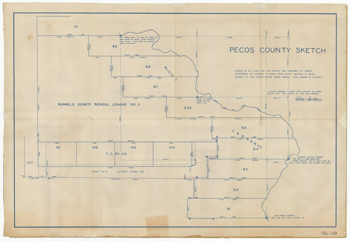
Pecos County Sketch

Print $20.00
- Digital $50.00
Pecos County Sketch
Size 34.2 x 23.5 inches
Map/Doc 91642
[T. & P. Block 35, Townships 4N and 5N]
![90574, [T. & P. Block 35, Townships 4N and 5N], Twichell Survey Records](https://historictexasmaps.com/wmedia_w700/maps/90574-1.tif.jpg)
![90574, [T. & P. Block 35, Townships 4N and 5N], Twichell Survey Records](https://historictexasmaps.com/wmedia_w700/maps/90574-1.tif.jpg)
Print $20.00
- Digital $50.00
[T. & P. Block 35, Townships 4N and 5N]
1907
Size 29.8 x 34.7 inches
Map/Doc 90574
Mrs. John H. Dean Ranch, Cochran County, Texas


Print $20.00
- Digital $50.00
Mrs. John H. Dean Ranch, Cochran County, Texas
Size 25.4 x 21.1 inches
Map/Doc 92516
L. Wright's Subdivision of the Southwest Corner of Survey Number 6, D4]
![90785, L. Wright's Subdivision of the Southwest Corner of Survey Number 6, D4], Twichell Survey Records](https://historictexasmaps.com/wmedia_w700/maps/90785-1.tif.jpg)
![90785, L. Wright's Subdivision of the Southwest Corner of Survey Number 6, D4], Twichell Survey Records](https://historictexasmaps.com/wmedia_w700/maps/90785-1.tif.jpg)
Print $20.00
- Digital $50.00
L. Wright's Subdivision of the Southwest Corner of Survey Number 6, D4]
1906
Size 14.1 x 18.5 inches
Map/Doc 90785
W. L. Ellwood's Ranch situated in Lamb and Hockley Counties


Print $40.00
- Digital $50.00
W. L. Ellwood's Ranch situated in Lamb and Hockley Counties
Size 33.0 x 107.4 inches
Map/Doc 93208
You may also like
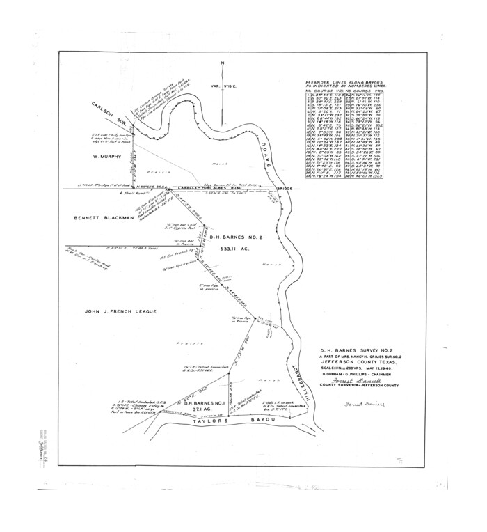
Jefferson County Rolled Sketch 24

Print $20.00
- Digital $50.00
Jefferson County Rolled Sketch 24
1940
Size 30.3 x 27.8 inches
Map/Doc 6388
[Map of Chicago, Rock Island & Texas Railway through Tarrant County, Texas]
![64413, [Map of Chicago, Rock Island & Texas Railway through Tarrant County, Texas], General Map Collection](https://historictexasmaps.com/wmedia_w700/maps/64413.tif.jpg)
![64413, [Map of Chicago, Rock Island & Texas Railway through Tarrant County, Texas], General Map Collection](https://historictexasmaps.com/wmedia_w700/maps/64413.tif.jpg)
Print $40.00
- Digital $50.00
[Map of Chicago, Rock Island & Texas Railway through Tarrant County, Texas]
1893
Size 22.3 x 121.8 inches
Map/Doc 64413
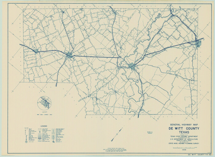
General Highway Map, DeWitt County, Texas

Print $20.00
General Highway Map, DeWitt County, Texas
1940
Size 18.5 x 25.2 inches
Map/Doc 79075
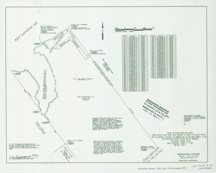
Galveston County NRC Article 33.136 Sketch 45

Print $21.00
- Digital $50.00
Galveston County NRC Article 33.136 Sketch 45
2007
Size 18.7 x 23.4 inches
Map/Doc 87365
Cass County Working Sketch 31


Print $20.00
- Digital $50.00
Cass County Working Sketch 31
1981
Size 30.7 x 31.1 inches
Map/Doc 67934
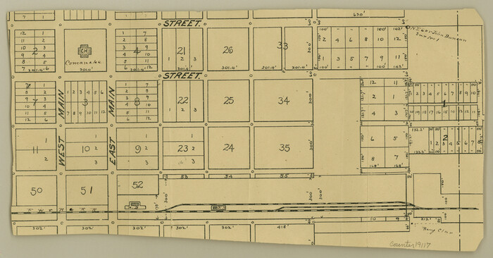
Comanche County Sketch File 28

Print $6.00
- Digital $50.00
Comanche County Sketch File 28
Size 6.1 x 11.7 inches
Map/Doc 19117
Kleberg County Rolled Sketch 10-17
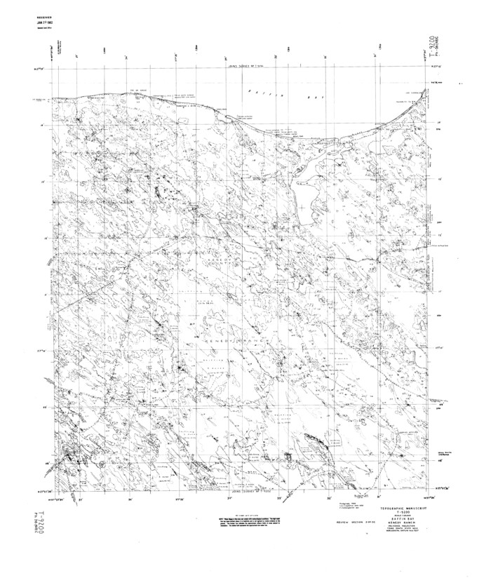

Print $20.00
- Digital $50.00
Kleberg County Rolled Sketch 10-17
1951
Size 38.1 x 32.0 inches
Map/Doc 9390
Shackelford County Boundary File 2


Print $88.00
- Digital $50.00
Shackelford County Boundary File 2
Size 8.7 x 5.3 inches
Map/Doc 58633
Coryell County Working Sketch 24
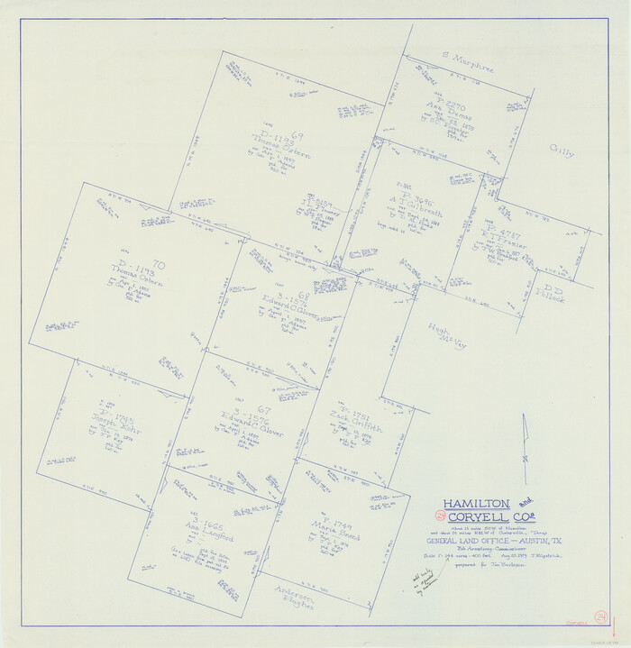

Print $20.00
- Digital $50.00
Coryell County Working Sketch 24
1979
Size 35.5 x 34.5 inches
Map/Doc 68231
Plano del Presidio de Nra Senora del Pilar de los Adaes


Plano del Presidio de Nra Senora del Pilar de los Adaes
1766
Size 7.3 x 9.2 inches
Map/Doc 96517
Intracoastal Waterway in Texas - Corpus Christi to Point Isabel including Arroyo Colorado to Mo. Pac. R.R. Bridge Near Harlingen
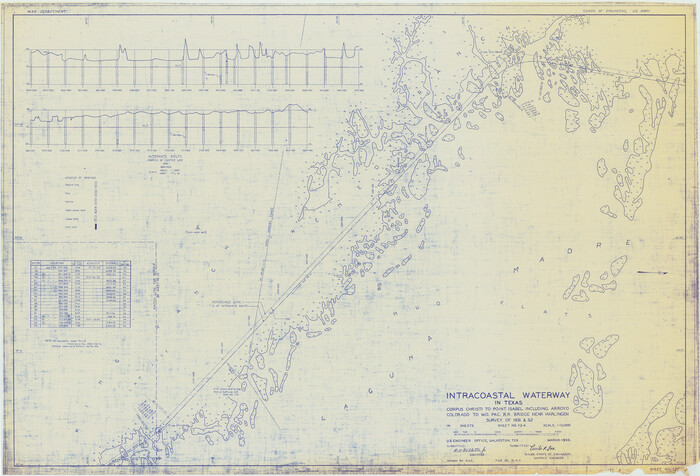

Print $20.00
- Digital $50.00
Intracoastal Waterway in Texas - Corpus Christi to Point Isabel including Arroyo Colorado to Mo. Pac. R.R. Bridge Near Harlingen
1933
Size 27.7 x 40.7 inches
Map/Doc 61858
![91672, [Section 34, Block 194 G. C. & S. F.], Twichell Survey Records](https://historictexasmaps.com/wmedia_w1800h1800/maps/91672-1.tif.jpg)

