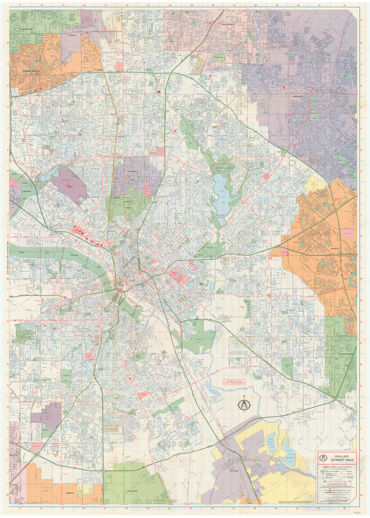
Dallas
[Recto: Dallas Street Map]
-
Map/Doc
94422
-
Collection
General Map Collection
-
People and Organizations
Rand McNally & Co. (Publisher)
-
Counties
Dallas
-
Subjects
City
-
Height x Width
36.3 x 26.0 inches
92.2 x 66.0 cm
-
Medium
paper, etching/engraving/lithograph
-
Scale
1 inch = approx .70 miles
-
Comments
See 94423 for Dallas Street Map and inset maps of Dallas-Ft. Worth and Downtown Dallas on verso.
Related maps

Part of: General Map Collection
Montague County Working Sketch 33

Print $20.00
- Digital $50.00
Montague County Working Sketch 33
1976
Size 30.6 x 43.3 inches
Map/Doc 71099
Moore County Working Sketch 7

Print $20.00
- Digital $50.00
Moore County Working Sketch 7
1939
Size 10.8 x 17.8 inches
Map/Doc 71189
Val Verde County Sketch File 39

Print $20.00
- Digital $50.00
Val Verde County Sketch File 39
1939
Size 32.0 x 16.2 inches
Map/Doc 12581
Flight Mission No. BRE-2P, Frame 101, Nueces County

Print $20.00
- Digital $50.00
Flight Mission No. BRE-2P, Frame 101, Nueces County
1956
Size 18.4 x 22.2 inches
Map/Doc 86786
Lipscomb County Boundary File 3

Print $4.00
- Digital $50.00
Lipscomb County Boundary File 3
Size 8.2 x 6.5 inches
Map/Doc 56318
Real County Working Sketch 90

Print $20.00
- Digital $50.00
Real County Working Sketch 90
1991
Size 16.7 x 22.8 inches
Map/Doc 71982
Irion County Rolled Sketch 9

Print $20.00
- Digital $50.00
Irion County Rolled Sketch 9
1940
Size 31.9 x 30.6 inches
Map/Doc 6321
Gray County Sketch File B1

Print $26.00
- Digital $50.00
Gray County Sketch File B1
1882
Size 8.9 x 8.6 inches
Map/Doc 24398
Erath County Working Sketch 19

Print $20.00
- Digital $50.00
Erath County Working Sketch 19
1963
Size 30.1 x 27.6 inches
Map/Doc 69100
United States - Gulf Coast - Padre I. and Laguna Madre Lat. 27° 12' to Lat. 26° 33' Texas

Print $20.00
- Digital $50.00
United States - Gulf Coast - Padre I. and Laguna Madre Lat. 27° 12' to Lat. 26° 33' Texas
1913
Size 27.0 x 18.2 inches
Map/Doc 72814
PSL Field Notes for Block C24 in Loving and Winkler Counties, and Blocks C25, C26, and C27 in Loving County

PSL Field Notes for Block C24 in Loving and Winkler Counties, and Blocks C25, C26, and C27 in Loving County
Map/Doc 81680
Mitchell County Sketch File 7

Print $20.00
- Digital $50.00
Mitchell County Sketch File 7
1906
Size 19.4 x 12.4 inches
Map/Doc 12096
You may also like
Webb County Rolled Sketch 76

Print $20.00
- Digital $50.00
Webb County Rolled Sketch 76
1959
Size 32.8 x 44.0 inches
Map/Doc 10133
Flight Mission No. BRE-2P, Frame 38, Nueces County

Print $20.00
- Digital $50.00
Flight Mission No. BRE-2P, Frame 38, Nueces County
1956
Size 18.7 x 22.7 inches
Map/Doc 86740
Tarrant County Rolled Sketch 2

Print $40.00
- Digital $50.00
Tarrant County Rolled Sketch 2
Size 91.5 x 13.4 inches
Map/Doc 78246
Loving County, Texas

Print $20.00
- Digital $50.00
Loving County, Texas
1889
Size 18.8 x 23.8 inches
Map/Doc 638
Yoakum County Rolled Sketch 3(2)

Print $40.00
- Digital $50.00
Yoakum County Rolled Sketch 3(2)
1959
Size 12.3 x 120.8 inches
Map/Doc 76040
Terrell County Rolled Sketch 36

Print $20.00
- Digital $50.00
Terrell County Rolled Sketch 36
1940
Size 17.4 x 33.8 inches
Map/Doc 9989
Pecos County Working Sketch 16

Print $20.00
- Digital $50.00
Pecos County Working Sketch 16
1915
Size 23.6 x 17.0 inches
Map/Doc 71486


Dallas County Working Sketch 7

Print $20.00
- Digital $50.00
Dallas County Working Sketch 7
1952
Size 17.3 x 23.5 inches
Map/Doc 68573
Culberson County Working Sketch 82

Print $20.00
- Digital $50.00
Culberson County Working Sketch 82
1980
Size 32.3 x 36.1 inches
Map/Doc 68536
Map of Spearman Lands

Print $20.00
- Digital $50.00
Map of Spearman Lands
Size 20.4 x 15.6 inches
Map/Doc 90834