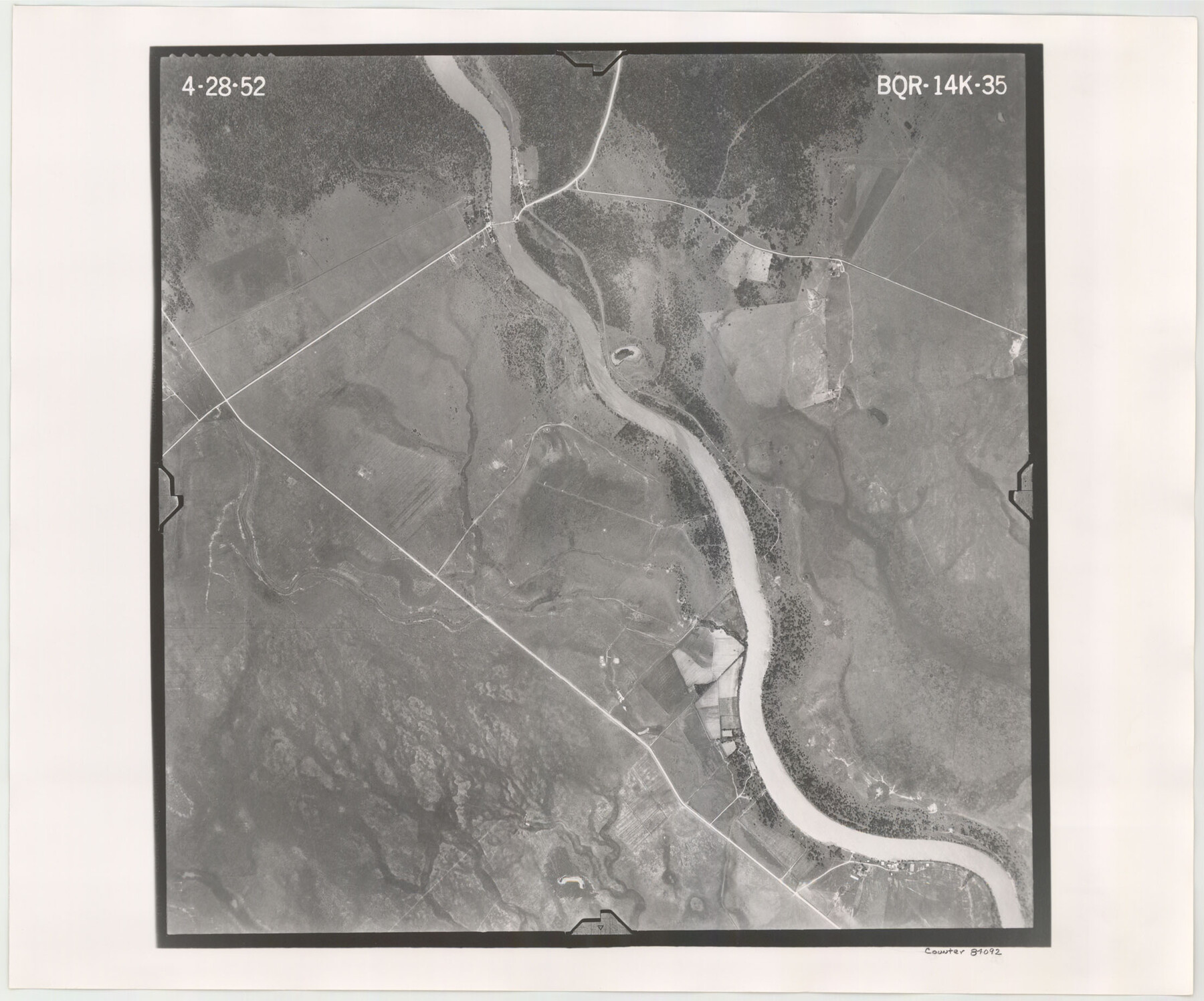
Flight Mission No. BQR-14K, Frame 35, Brazoria County
BQR-14K-35
-
Map/Doc
84092
-
Collection
General Map Collection
-
Object Dates
1952/4/28 (Creation Date)
-
People and Organizations
U. S. Department of Agriculture (Publisher)
-
Counties
Brazoria
-
Subjects
Aerial Photograph
-
Height x Width
18.5 x 22.2 inches
47.0 x 56.4 cm
-
Comments
Flown by Aero Exploration Company of Tulsa, Oklahoma.
Part of: General Map Collection
[F. W. & D. C. Ry. Co. Alignment and Right of Way Map, Clay County]
![64727, [F. W. & D. C. Ry. Co. Alignment and Right of Way Map, Clay County], General Map Collection](https://historictexasmaps.com/wmedia_w700/maps/64727-1.tif.jpg)
Print $20.00
- Digital $50.00
[F. W. & D. C. Ry. Co. Alignment and Right of Way Map, Clay County]
1927
Size 18.6 x 11.7 inches
Map/Doc 64727
Flight Mission No. CRE-2R, Frame 170, Jackson County

Print $20.00
- Digital $50.00
Flight Mission No. CRE-2R, Frame 170, Jackson County
1956
Size 18.6 x 22.1 inches
Map/Doc 85380
Brewster County Sketch File N-9

Print $40.00
- Digital $50.00
Brewster County Sketch File N-9
Size 17.4 x 15.7 inches
Map/Doc 10964
Plan of Driving Park Addition composed of Out-lots 37, 38, 39, 49, 50, 60, & 61, Division "O" in the City of Austin

Print $20.00
- Digital $50.00
Plan of Driving Park Addition composed of Out-lots 37, 38, 39, 49, 50, 60, & 61, Division "O" in the City of Austin
1910
Size 18.4 x 15.9 inches
Map/Doc 2024
Map of Young County

Print $20.00
- Digital $50.00
Map of Young County
1880
Size 22.0 x 20.3 inches
Map/Doc 4174
Kleberg County Rolled Sketch 10-21

Print $20.00
- Digital $50.00
Kleberg County Rolled Sketch 10-21
1952
Size 37.5 x 32.9 inches
Map/Doc 9403
Fractional Township No. 10 South Range No. 2 East of the Indian Meridian, Indian Territory

Print $20.00
- Digital $50.00
Fractional Township No. 10 South Range No. 2 East of the Indian Meridian, Indian Territory
1898
Size 19.2 x 24.4 inches
Map/Doc 75202
Moore County Working Sketch 3

Print $20.00
- Digital $50.00
Moore County Working Sketch 3
1910
Size 12.2 x 17.4 inches
Map/Doc 71185
Flight Mission No. BRA-7M, Frame 121, Jefferson County

Print $20.00
- Digital $50.00
Flight Mission No. BRA-7M, Frame 121, Jefferson County
1953
Size 18.6 x 22.4 inches
Map/Doc 85515
Milam County Boundary File 5b

Print $20.00
- Digital $50.00
Milam County Boundary File 5b
Size 22.6 x 37.8 inches
Map/Doc 57239
Starr County Rolled Sketch 19

Print $20.00
- Digital $50.00
Starr County Rolled Sketch 19
1920
Size 20.8 x 24.9 inches
Map/Doc 7803
Irion County Sketch File 9

Print $14.00
- Digital $50.00
Irion County Sketch File 9
1927
Size 11.0 x 8.5 inches
Map/Doc 27475
You may also like
Flight Mission No. CGI-3N, Frame 71, Cameron County

Print $20.00
- Digital $50.00
Flight Mission No. CGI-3N, Frame 71, Cameron County
1954
Size 18.4 x 22.3 inches
Map/Doc 84565
Mills County Sketch File 5

Print $4.00
- Digital $50.00
Mills County Sketch File 5
Size 11.5 x 8.3 inches
Map/Doc 31652
[Sketch of part of Blks. 4, B5, 6, 2Z, M6, M8, and M13]
![89645, [Sketch of part of Blks. 4, B5, 6, 2Z, M6, M8, and M13], Twichell Survey Records](https://historictexasmaps.com/wmedia_w700/maps/89645-1.tif.jpg)
Print $40.00
- Digital $50.00
[Sketch of part of Blks. 4, B5, 6, 2Z, M6, M8, and M13]
Size 22.7 x 55.3 inches
Map/Doc 89645
Wise County Sketch File 13

Print $4.00
- Digital $50.00
Wise County Sketch File 13
Size 9.0 x 15.2 inches
Map/Doc 40546
Hockley County Working Sketch 2

Print $20.00
- Digital $50.00
Hockley County Working Sketch 2
1960
Size 17.8 x 35.7 inches
Map/Doc 66192
Presidio County Working Sketch 37

Print $20.00
- Digital $50.00
Presidio County Working Sketch 37
1948
Size 26.9 x 43.3 inches
Map/Doc 71714
Crawford Farm S 1/2 Section 59, Block A

Print $3.00
- Digital $50.00
Crawford Farm S 1/2 Section 59, Block A
Size 16.5 x 9.9 inches
Map/Doc 92337
Map of Val Verde County

Print $20.00
- Digital $50.00
Map of Val Verde County
1898
Size 42.9 x 37.5 inches
Map/Doc 63098
The Republic County of Harrison. Created, January 28, 1839

Print $20.00
The Republic County of Harrison. Created, January 28, 1839
2020
Size 18.6 x 21.7 inches
Map/Doc 96169
The Chief Justice County of Milam. April 16, 1837

Print $20.00
The Chief Justice County of Milam. April 16, 1837
2020
Size 16.8 x 21.7 inches
Map/Doc 96059
Val Verde County Sketch File Z7

Print $20.00
- Digital $50.00
Val Verde County Sketch File Z7
Size 25.6 x 17.2 inches
Map/Doc 12552
Oldham County Sketch File 12

Print $20.00
- Digital $50.00
Oldham County Sketch File 12
Size 20.0 x 20.1 inches
Map/Doc 12113