[F. W. & D. C. Ry. Co. Alignment and Right of Way Map, Clay County]
Z-2-203
-
Map/Doc
64727
-
Collection
General Map Collection
-
Object Dates
8/18/1927 (Creation Date)
-
People and Organizations
Office of Engineer Maintenance of Way (Publisher)
-
Counties
Clay
-
Subjects
Railroads
-
Height x Width
18.6 x 11.7 inches
47.2 x 29.7 cm
-
Medium
paper, photocopy
-
Scale
1" = 400 feet
-
Comments
See 64722 through 64726 and 64728 through 64747 for all segments of this map.
-
Features
Bennett Creek
FW&DC
Part of: General Map Collection
Comanche County Sketch File 20

Print $40.00
- Digital $50.00
Comanche County Sketch File 20
Size 15.5 x 12.6 inches
Map/Doc 19103
DeWitt County Sketch File 6

Print $24.00
- Digital $50.00
DeWitt County Sketch File 6
1872
Size 9.8 x 8.5 inches
Map/Doc 20805
Eastland County Working Sketch Graphic Index

Print $20.00
- Digital $50.00
Eastland County Working Sketch Graphic Index
1945
Size 41.6 x 42.4 inches
Map/Doc 76529
Pecos County Sketch File 63


Print $94.00
- Digital $50.00
Pecos County Sketch File 63
1919
Size 8.1 x 13.9 inches
Map/Doc 33792
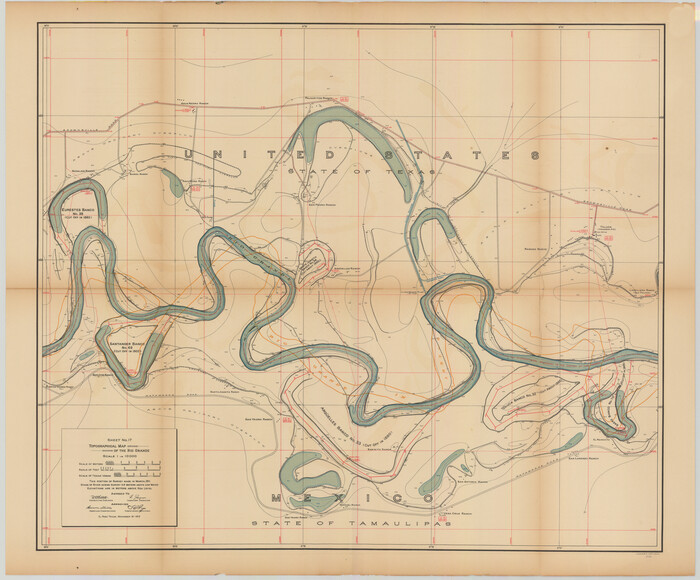
Topographical Map of the Rio Grande, Sheet No. 17

Print $20.00
- Digital $50.00
Topographical Map of the Rio Grande, Sheet No. 17
1912
Map/Doc 89541
[Pecos River Bed]
![2467, [Pecos River Bed], General Map Collection](https://historictexasmaps.com/wmedia_w700/maps/2467.tif.jpg)
![2467, [Pecos River Bed], General Map Collection](https://historictexasmaps.com/wmedia_w700/maps/2467.tif.jpg)
Print $20.00
- Digital $50.00
[Pecos River Bed]
Size 16.6 x 39.8 inches
Map/Doc 2467
Aransas County Boundary File 1


Print $14.00
- Digital $50.00
Aransas County Boundary File 1
Size 14.2 x 8.6 inches
Map/Doc 49774
Lynn County Boundary File 7a


Print $8.00
- Digital $50.00
Lynn County Boundary File 7a
Size 14.3 x 8.8 inches
Map/Doc 56647
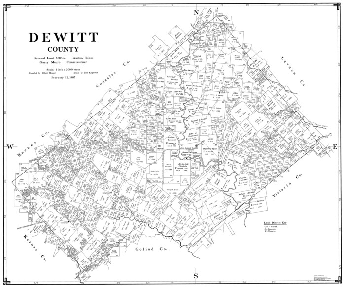
DeWitt County

Print $40.00
- Digital $50.00
DeWitt County
1987
Size 41.4 x 49.9 inches
Map/Doc 77263
La Salle County Sketch File 25

Print $4.00
- Digital $50.00
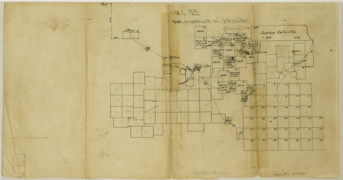
La Salle County Sketch File 25
Size 7.5 x 14.2 inches
Map/Doc 29549
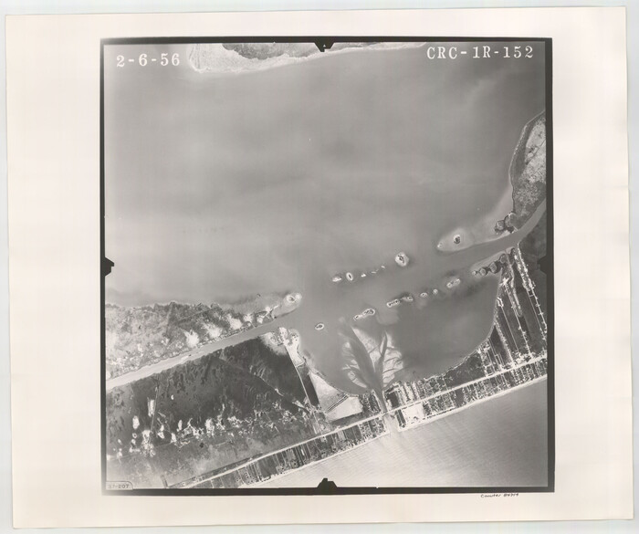
Flight Mission No. CRC-1R, Frame 152, Chambers County

Print $20.00
- Digital $50.00
Flight Mission No. CRC-1R, Frame 152, Chambers County
1956
Size 18.8 x 22.5 inches
Map/Doc 84714
Nueces County Rolled Sketch 82


Print $43.00
Nueces County Rolled Sketch 82
1982
Size 18.6 x 25.0 inches
Map/Doc 6961
You may also like
Terrell County Sketch File 22W


Print $20.00
- Digital $50.00
Terrell County Sketch File 22W
Size 19.6 x 21.7 inches
Map/Doc 12423
Maps of Gulf Intracoastal Waterway, Texas - Sabine River to the Rio Grande and connecting waterways including ship channels
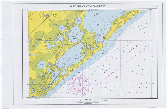

Print $20.00
- Digital $50.00
Maps of Gulf Intracoastal Waterway, Texas - Sabine River to the Rio Grande and connecting waterways including ship channels
1966
Size 14.5 x 22.4 inches
Map/Doc 61929
Perry and Spaulding's American Republic and Railroad Map of the United States and of the Dominion of Canada
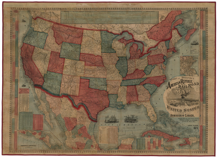

Print $40.00
- Digital $50.00
Perry and Spaulding's American Republic and Railroad Map of the United States and of the Dominion of Canada
1874
Size 40.5 x 55.7 inches
Map/Doc 93913
Map of State University Land, Pecos County, Texas


Print $20.00
- Digital $50.00
Map of State University Land, Pecos County, Texas
1929
Size 42.1 x 33.5 inches
Map/Doc 91626
Dimmit County Working Sketch 37
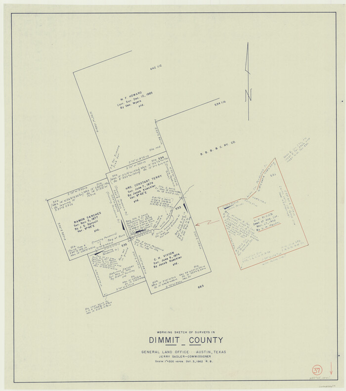

Print $20.00
- Digital $50.00
Dimmit County Working Sketch 37
1962
Size 28.9 x 25.6 inches
Map/Doc 68698
Military Reconnaissance [showing forts along Rio Grande near Matamoros]
![72912, Military Reconnaissance [showing forts along Rio Grande near Matamoros], General Map Collection](https://historictexasmaps.com/wmedia_w700/maps/72912.tif.jpg)
![72912, Military Reconnaissance [showing forts along Rio Grande near Matamoros], General Map Collection](https://historictexasmaps.com/wmedia_w700/maps/72912.tif.jpg)
Print $20.00
- Digital $50.00
Military Reconnaissance [showing forts along Rio Grande near Matamoros]
1846
Size 18.3 x 27.0 inches
Map/Doc 72912
Flight Mission No. BRA-6M, Frame 92, Jefferson County
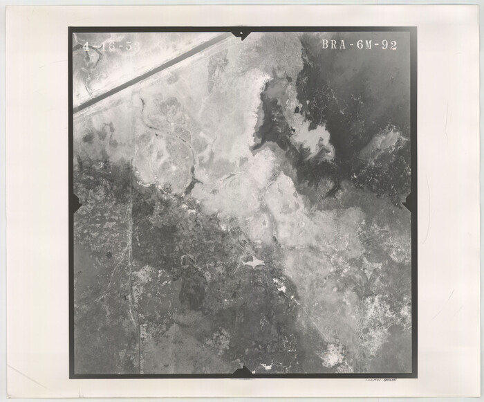

Print $20.00
- Digital $50.00
Flight Mission No. BRA-6M, Frame 92, Jefferson County
1953
Size 18.5 x 22.3 inches
Map/Doc 85435
Upton County Working Sketch 1


Print $20.00
- Digital $50.00
Upton County Working Sketch 1
1906
Size 11.6 x 20.0 inches
Map/Doc 69497
[Section 34, Block 194 G. C. & S. F.]
![91672, [Section 34, Block 194 G. C. & S. F.], Twichell Survey Records](https://historictexasmaps.com/wmedia_w700/maps/91672-1.tif.jpg)
![91672, [Section 34, Block 194 G. C. & S. F.], Twichell Survey Records](https://historictexasmaps.com/wmedia_w700/maps/91672-1.tif.jpg)
Print $2.00
- Digital $50.00
[Section 34, Block 194 G. C. & S. F.]
1927
Size 7.5 x 5.9 inches
Map/Doc 91672
Gaines County Rolled Sketch 15C


Print $40.00
- Digital $50.00
Gaines County Rolled Sketch 15C
Size 128.4 x 22.8 inches
Map/Doc 75928
General Highway Map, Cherokee County, Texas
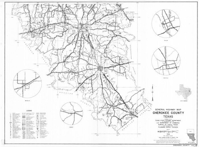

Print $20.00
General Highway Map, Cherokee County, Texas
1961
Size 18.2 x 24.6 inches
Map/Doc 79405
![64727, [F. W. & D. C. Ry. Co. Alignment and Right of Way Map, Clay County], General Map Collection](https://historictexasmaps.com/wmedia_w1800h1800/maps/64727-1.tif.jpg)
