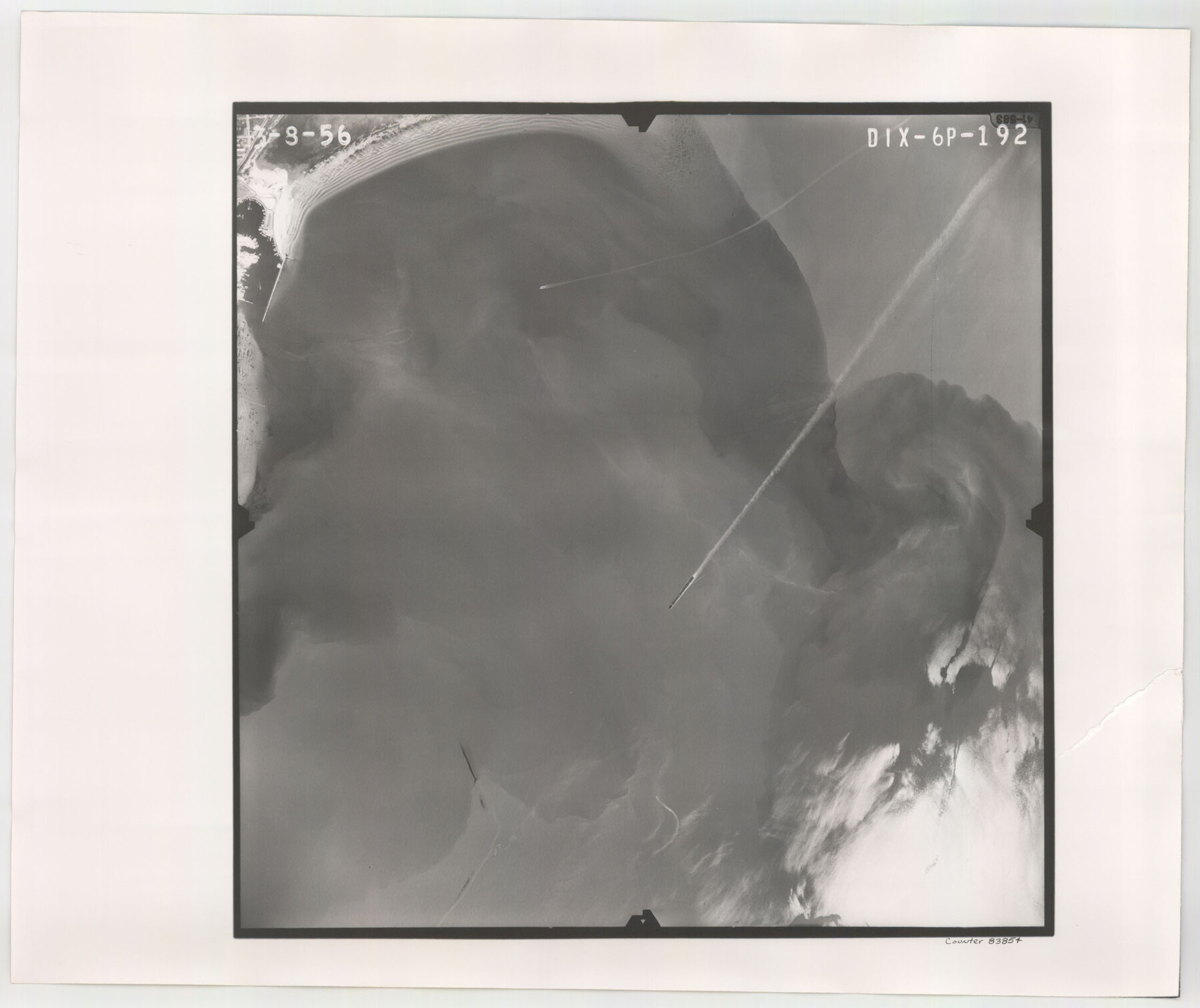
Flight Mission No. DIX-6P, Frame 192, Aransas County
DIX-6P-192
-
Map/Doc
83854
-
Collection
General Map Collection
-
Object Dates
1956/3/8 (Creation Date)
-
People and Organizations
U. S. Department of Agriculture (Publisher)
-
Counties
Aransas
-
Subjects
Aerial Photograph
-
Height x Width
19.0 x 22.8 inches
48.3 x 57.9 cm
-
Comments
Flown by V. L. Beavers and Associates of San Antonio, Texas.
Part of: General Map Collection
Rusk County Rolled Sketch 14

Print $20.00
- Digital $50.00
Rusk County Rolled Sketch 14
1997
Size 27.8 x 37.8 inches
Map/Doc 7549
Flight Mission No. DIX-10P, Frame 167, Aransas County

Print $20.00
- Digital $50.00
Flight Mission No. DIX-10P, Frame 167, Aransas County
1956
Size 18.6 x 22.3 inches
Map/Doc 83957
Amistad International Reservoir on Rio Grande 100

Print $20.00
- Digital $50.00
Amistad International Reservoir on Rio Grande 100
1950
Size 28.5 x 40.8 inches
Map/Doc 75531
Galveston Harbor, Texas, South Jetty sketch showing extension of shoreline - Sheet 5

Print $2.00
- Digital $50.00
Galveston Harbor, Texas, South Jetty sketch showing extension of shoreline - Sheet 5
1936
Size 8.8 x 13.3 inches
Map/Doc 61819
Eastland County Sketch File 14

Print $8.00
- Digital $50.00
Eastland County Sketch File 14
Size 11.5 x 9.2 inches
Map/Doc 21595
Pecos County Working Sketch 2

Print $20.00
- Digital $50.00
Pecos County Working Sketch 2
Size 18.1 x 28.3 inches
Map/Doc 71472
Hudspeth County Rolled Sketch 78

Print $20.00
- Digital $50.00
Hudspeth County Rolled Sketch 78
2010
Size 18.4 x 24.5 inches
Map/Doc 93290
Upton County Rolled Sketch 7

Print $62.00
- Digital $50.00
Upton County Rolled Sketch 7
1911
Size 10.5 x 15.0 inches
Map/Doc 49398

Starr County Sketch File 43

Print $28.00
- Digital $50.00
Starr County Sketch File 43
1941
Size 14.7 x 9.1 inches
Map/Doc 36991
Burleson County Working Sketch 14

Print $20.00
- Digital $50.00
Burleson County Working Sketch 14
1980
Size 24.6 x 18.9 inches
Map/Doc 67733
Kimble County Sketch File 11

Print $40.00
- Digital $50.00
Kimble County Sketch File 11
1882
Size 20.5 x 10.2 inches
Map/Doc 28933
You may also like
Flight Mission No. DAG-28K, Frame 25, Matagorda County

Print $20.00
- Digital $50.00
Flight Mission No. DAG-28K, Frame 25, Matagorda County
1953
Size 18.5 x 22.3 inches
Map/Doc 86593
Flight Mission No. DIX-8P, Frame 63, Aransas County

Print $20.00
- Digital $50.00
Flight Mission No. DIX-8P, Frame 63, Aransas County
1956
Size 18.7 x 22.5 inches
Map/Doc 83894
Ochiltree County State of Texas

Print $20.00
- Digital $50.00
Ochiltree County State of Texas
1889
Size 25.5 x 19.0 inches
Map/Doc 4609
Gregg County Rolled Sketch 22

Print $20.00
- Digital $50.00
Gregg County Rolled Sketch 22
1934
Size 30.0 x 41.6 inches
Map/Doc 9073
Flight Mission No. CRC-4R, Frame 75, Chambers County

Print $20.00
- Digital $50.00
Flight Mission No. CRC-4R, Frame 75, Chambers County
1956
Size 18.6 x 22.3 inches
Map/Doc 84879
El Paso County Boundary File 24

Print $32.00
- Digital $50.00
El Paso County Boundary File 24
Size 14.8 x 9.6 inches
Map/Doc 53221
Morris County Working Sketch 1

Print $20.00
- Digital $50.00
Morris County Working Sketch 1
1948
Size 31.2 x 28.0 inches
Map/Doc 71200
Upton County Rolled Sketch 59A

Print $20.00
- Digital $50.00
Upton County Rolled Sketch 59A
Size 35.5 x 46.3 inches
Map/Doc 76424
Flight Mission No. CRC-3R, Frame 23, Chambers County

Print $20.00
- Digital $50.00
Flight Mission No. CRC-3R, Frame 23, Chambers County
1956
Size 18.6 x 22.3 inches
Map/Doc 84797
Maverick County Working Sketch 7

Print $20.00
- Digital $50.00
Maverick County Working Sketch 7
1959
Size 22.4 x 21.0 inches
Map/Doc 70899
Cameron County Rolled Sketch 10A

Print $71.00
- Digital $50.00
Cameron County Rolled Sketch 10A
Size 11.1 x 8.7 inches
Map/Doc 41749
Kerr County Working Sketch 26

Print $20.00
- Digital $50.00
Kerr County Working Sketch 26
1969
Size 31.2 x 32.1 inches
Map/Doc 70057