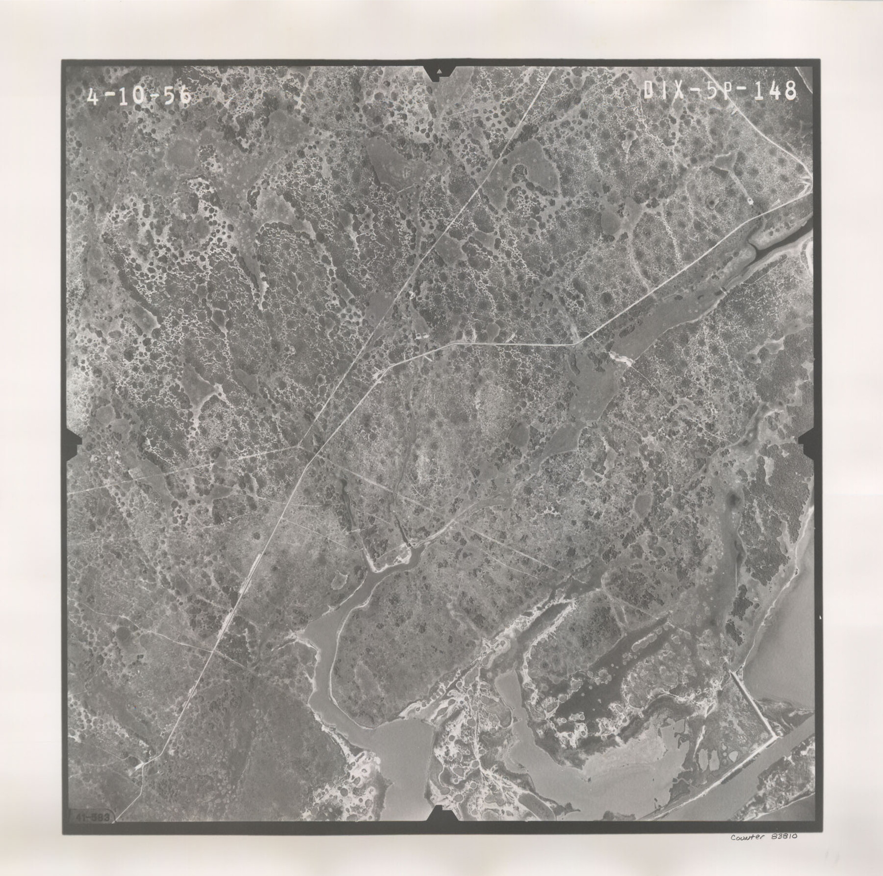
Flight Mission No. DIX-5P, Frame 148, Aransas County
DIX-5P-148
-
Map/Doc
83810
-
Collection
General Map Collection
-
Object Dates
1956/4/10 (Creation Date)
-
People and Organizations
U. S. Department of Agriculture (Publisher)
-
Counties
Aransas
-
Subjects
Aerial Photograph
-
Height x Width
17.9 x 18.0 inches
45.5 x 45.7 cm
-
Comments
Flown by V. L. Beavers and Associates of San Antonio, Texas.
Part of: General Map Collection
Blanco County Working Sketch 3

Print $20.00
- Digital $50.00
Blanco County Working Sketch 3
Size 14.4 x 16.1 inches
Map/Doc 78189
Brewster County Rolled Sketch 152

Print $20.00
- Digital $50.00
Brewster County Rolled Sketch 152
1996
Size 28.0 x 36.5 inches
Map/Doc 5319
Wise County Sketch File 30

Print $6.00
- Digital $50.00
Wise County Sketch File 30
1876
Size 12.7 x 8.1 inches
Map/Doc 40579
Vacancy Application - John H. Tyler near T.C. Ry. Co. Block 1 Surveys 101, 102, 103, & 104. Letters and Maps, Pecos County

Print $279.00
- Digital $50.00
Vacancy Application - John H. Tyler near T.C. Ry. Co. Block 1 Surveys 101, 102, 103, & 104. Letters and Maps, Pecos County
1934
Size 18.1 x 21.1 inches
Map/Doc 2048
Anderson County Sketch File 24

Print $60.00
- Digital $50.00
Anderson County Sketch File 24
1942
Size 13.2 x 18.2 inches
Map/Doc 10803
Galveston Island

Print $20.00
- Digital $50.00
Galveston Island
1837
Size 24.1 x 37.2 inches
Map/Doc 2009
Comanche County Sketch File 22

Print $4.00
- Digital $50.00
Comanche County Sketch File 22
1873
Size 15.2 x 9.2 inches
Map/Doc 19106
Pecos County Rolled Sketch DK5

Print $20.00
- Digital $50.00
Pecos County Rolled Sketch DK5
Size 24.3 x 16.8 inches
Map/Doc 7310
Potter County Boundary File 3f

Print $4.00
- Digital $50.00
Potter County Boundary File 3f
Size 6.3 x 4.4 inches
Map/Doc 57995
Potter County Working Sketch 6

Print $20.00
- Digital $50.00
Potter County Working Sketch 6
1959
Size 23.3 x 27.0 inches
Map/Doc 71666
Gregg County Working Sketch 4

Print $20.00
- Digital $50.00
Gregg County Working Sketch 4
1931
Size 29.1 x 32.9 inches
Map/Doc 63270
Brown County Working Sketch 17

Print $20.00
- Digital $50.00
Brown County Working Sketch 17
1993
Size 25.6 x 29.4 inches
Map/Doc 67782
You may also like
Maps of Gulf Intracoastal Waterway, Texas - Sabine River to the Rio Grande and connecting waterways including ship channels

Print $20.00
- Digital $50.00
Maps of Gulf Intracoastal Waterway, Texas - Sabine River to the Rio Grande and connecting waterways including ship channels
1966
Size 14.6 x 22.3 inches
Map/Doc 61959
Crockett County, Texas

Print $20.00
- Digital $50.00
Crockett County, Texas
Size 39.8 x 30.8 inches
Map/Doc 92547
Coryell County Sketch File 24

Print $24.00
- Digital $50.00
Coryell County Sketch File 24
1965
Size 11.2 x 8.8 inches
Map/Doc 19389
Burleson County Working Sketch 29

Print $20.00
- Digital $50.00
Burleson County Working Sketch 29
1981
Size 24.7 x 24.7 inches
Map/Doc 67748
Erath County Sketch File 7

Print $4.00
- Digital $50.00
Erath County Sketch File 7
Size 6.8 x 7.3 inches
Map/Doc 22267
Crockett County Rolled Sketch E

Print $20.00
- Digital $50.00
Crockett County Rolled Sketch E
1907
Size 26.2 x 27.7 inches
Map/Doc 5636
Jim Hogg County Working Sketch 6

Print $40.00
- Digital $50.00
Jim Hogg County Working Sketch 6
1961
Size 63.3 x 42.8 inches
Map/Doc 66592
Tyler County Sketch File 14

Print $4.00
- Digital $50.00
Tyler County Sketch File 14
1857
Size 8.3 x 10.1 inches
Map/Doc 38656
Right-of-Way and Track Map, Texas State Railroad operated by the T. and N. O. R.R. Co.

Print $40.00
- Digital $50.00
Right-of-Way and Track Map, Texas State Railroad operated by the T. and N. O. R.R. Co.
1917
Size 24.8 x 56.3 inches
Map/Doc 64173
Cooke County Sketch File 26

Print $4.00
- Digital $50.00
Cooke County Sketch File 26
1872
Size 5.9 x 8.2 inches
Map/Doc 19277
Cogdell Ranch Kent County, Texas

Print $20.00
- Digital $50.00
Cogdell Ranch Kent County, Texas
1950
Size 36.3 x 19.2 inches
Map/Doc 92188
Palo Pinto County Sketch File 25a

Print $6.00
- Digital $50.00
Palo Pinto County Sketch File 25a
Size 11.0 x 11.4 inches
Map/Doc 33417