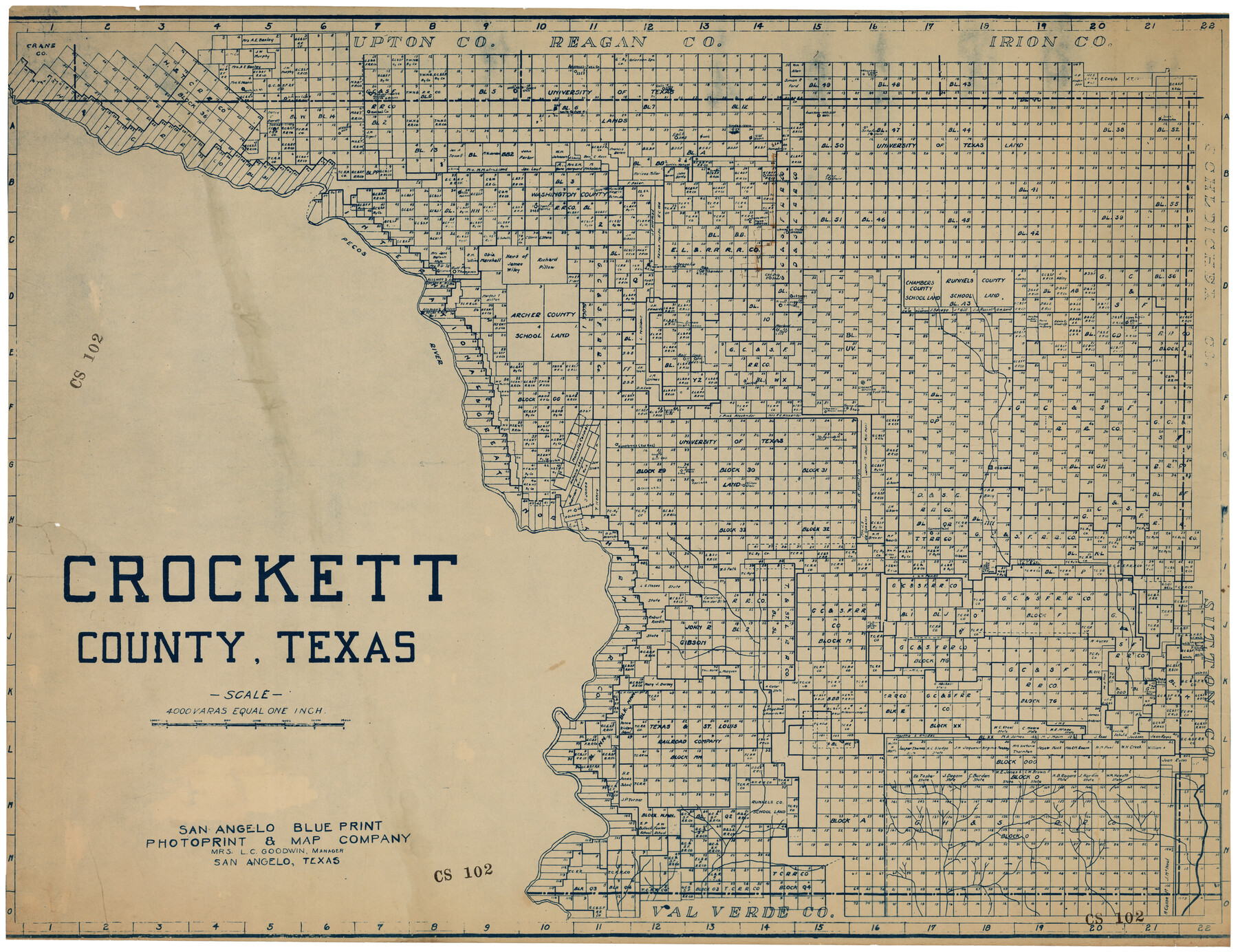
Crockett County, Texas
CS102
-
Map/Doc
92547
-
Collection
Twichell Survey Records
-
Counties
Crockett
-
Subjects
County
-
Height x Width
39.8 x 30.8 inches
101.1 x 78.2 cm
Part of: Twichell Survey Records
[Blocks O5, A, T1, T2, T3 and vicinity]
![92201, [Blocks O5, A, T1, T2, T3 and vicinity], Twichell Survey Records](https://historictexasmaps.com/wmedia_w700/maps/92201-1.tif.jpg)
Print $20.00
- Digital $50.00
[Blocks O5, A, T1, T2, T3 and vicinity]
Size 20.2 x 23.0 inches
Map/Doc 92201
James Heights, an addition to the City of Lubbock - tracts 4, 5, 6, 7, 8, 9, 10, 11, 12, 13 in Block 7, and tracts 4, 5, 6, 7, 8, 9, 10, 11, 12, 13 in Block 8 of the Clutter Addition

Print $3.00
- Digital $50.00
James Heights, an addition to the City of Lubbock - tracts 4, 5, 6, 7, 8, 9, 10, 11, 12, 13 in Block 7, and tracts 4, 5, 6, 7, 8, 9, 10, 11, 12, 13 in Block 8 of the Clutter Addition
1949
Size 10.1 x 11.4 inches
Map/Doc 92704
[Sections 155-162, Toyah Creek Irrigation Company and surrounding surveys]
![91037, [Sections 155-162, Toyah Creek Irrigation Company and surrounding surveys], Twichell Survey Records](https://historictexasmaps.com/wmedia_w700/maps/91037-1.tif.jpg)
Print $20.00
- Digital $50.00
[Sections 155-162, Toyah Creek Irrigation Company and surrounding surveys]
1916
Size 12.8 x 38.7 inches
Map/Doc 91037
[Portion of R. M. Thompson Blocks 1 and 2]
![91122, [Portion of R. M. Thompson Blocks 1 and 2], Twichell Survey Records](https://historictexasmaps.com/wmedia_w700/maps/91122-1.tif.jpg)
Print $3.00
- Digital $50.00
[Portion of R. M. Thompson Blocks 1 and 2]
Size 9.5 x 11.7 inches
Map/Doc 91122
Hartley County

Print $20.00
- Digital $50.00
Hartley County
1882
Size 30.2 x 19.3 inches
Map/Doc 90708
Working Sketch Bastrop County

Print $20.00
- Digital $50.00
Working Sketch Bastrop County
1923
Size 22.2 x 13.0 inches
Map/Doc 90239
A Part of Blocks 31 and 32 Township 5 North

Print $20.00
- Digital $50.00
A Part of Blocks 31 and 32 Township 5 North
Size 19.6 x 23.8 inches
Map/Doc 92458
[Scripture Addition to the City of Denton]
![90587, [Scripture Addition to the City of Denton], Twichell Survey Records](https://historictexasmaps.com/wmedia_w700/maps/90587-1.tif.jpg)
Print $20.00
- Digital $50.00
[Scripture Addition to the City of Denton]
Size 27.3 x 22.0 inches
Map/Doc 90587
[Sections 58-63, I. & G. N. Block 1 and area adjacent to the west]
![91637, [Sections 58-63, I. & G. N. Block 1 and area adjacent to the west], Twichell Survey Records](https://historictexasmaps.com/wmedia_w700/maps/91637-1.tif.jpg)
Print $20.00
- Digital $50.00
[Sections 58-63, I. & G. N. Block 1 and area adjacent to the west]
Size 23.0 x 15.3 inches
Map/Doc 91637
General Highway Map Hockley County, Texas

Print $20.00
- Digital $50.00
General Highway Map Hockley County, Texas
1949
Size 25.7 x 18.8 inches
Map/Doc 92209
[West line of Randall County]
![91705, [West line of Randall County], Twichell Survey Records](https://historictexasmaps.com/wmedia_w700/maps/91705-1.tif.jpg)
Print $20.00
- Digital $50.00
[West line of Randall County]
Size 4.2 x 19.9 inches
Map/Doc 91705
Lamb-Bailey County Line

Print $40.00
- Digital $50.00
Lamb-Bailey County Line
Size 15.9 x 53.3 inches
Map/Doc 89671
You may also like
Coast Chart No. 210 Aransas Pass and Corpus Christi Bay with the coast to latitude 27° 12' Texas

Print $20.00
- Digital $50.00
Coast Chart No. 210 Aransas Pass and Corpus Christi Bay with the coast to latitude 27° 12' Texas
1887
Size 27.2 x 18.2 inches
Map/Doc 72801
Henderson County Working Sketch 40

Print $20.00
- Digital $50.00
Henderson County Working Sketch 40
1982
Size 23.2 x 19.0 inches
Map/Doc 66173
Burnet County Sketch File 36

Print $60.00
- Digital $50.00
Burnet County Sketch File 36
1935
Size 25.7 x 17.6 inches
Map/Doc 11025
General Highway Map, Burleson County, Texas

Print $20.00
General Highway Map, Burleson County, Texas
1940
Size 18.3 x 25.0 inches
Map/Doc 79032
Terrell County Working Sketch 77

Print $20.00
- Digital $50.00
Terrell County Working Sketch 77
1983
Size 22.9 x 33.7 inches
Map/Doc 69598
Parker County Sketch File 15

Print $4.00
- Digital $50.00
Parker County Sketch File 15
1861
Size 8.3 x 8.0 inches
Map/Doc 33548
Swisher County Sketch File 2a

Print $96.00
- Digital $50.00
Swisher County Sketch File 2a
1891
Size 14.3 x 8.7 inches
Map/Doc 37578
Republic Counties. January 1, 1839

Print $20.00
Republic Counties. January 1, 1839
2020
Size 24.5 x 21.7 inches
Map/Doc 96312
Glasscock County

Print $20.00
- Digital $50.00
Glasscock County
1933
Size 47.0 x 39.2 inches
Map/Doc 1839
Flight Mission No. CRC-1R, Frame 34, Chambers County

Print $20.00
- Digital $50.00
Flight Mission No. CRC-1R, Frame 34, Chambers County
1956
Size 18.8 x 22.4 inches
Map/Doc 84702
Sabine Bank to East Bay including Heald Bank

Print $20.00
- Digital $50.00
Sabine Bank to East Bay including Heald Bank
1960
Size 45.1 x 34.3 inches
Map/Doc 69847
Dallam County Boundary File 1

Print $12.00
- Digital $50.00
Dallam County Boundary File 1
Size 9.0 x 7.6 inches
Map/Doc 52047