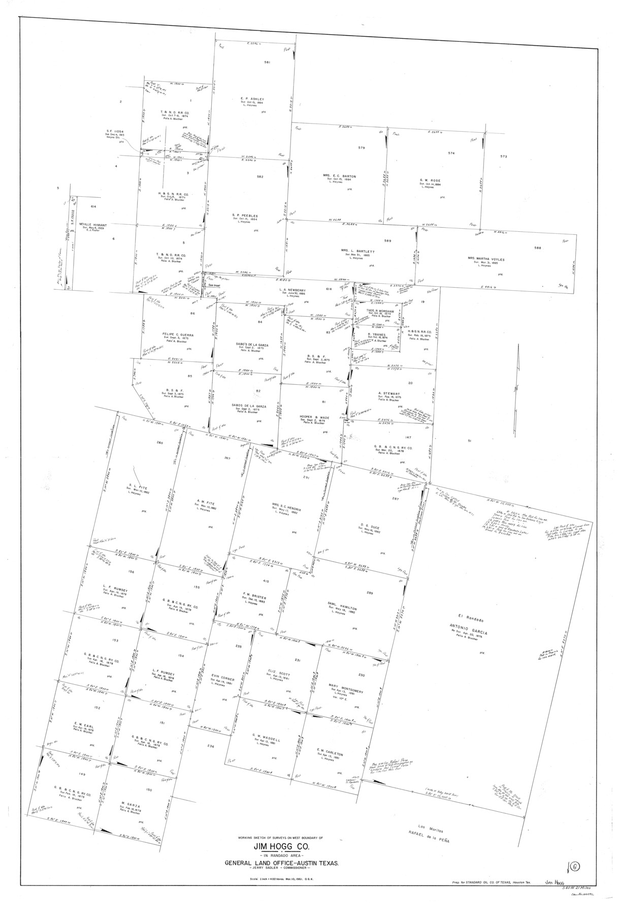
Jim Hogg County Working Sketch 6
-
Map/Doc
66592
-
Collection
General Map Collection
-
Object Dates
3/10/1961 (Creation Date)
-
People and Organizations
Otto G. Kurio (Draftsman)
-
Counties
Jim Hogg
-
Subjects
Surveying Working Sketch
-
Height x Width
63.3 x 42.8 inches
160.8 x 108.7 cm
-
Scale
1" = 400 varas
Part of: General Map Collection
Navasota River, Springfield Sheet

Print $20.00
- Digital $50.00
Navasota River, Springfield Sheet
1934
Size 41.5 x 37.8 inches
Map/Doc 65074
Reeves County Working Sketch 46

Print $40.00
- Digital $50.00
Reeves County Working Sketch 46
1974
Size 52.4 x 37.2 inches
Map/Doc 63489
Calhoun County Rolled Sketch 3

Print $20.00
- Digital $50.00
Calhoun County Rolled Sketch 3
Size 28.0 x 21.9 inches
Map/Doc 5361
Map of section no. 7 of a survey of Padre Island made for the Office of the Attorney General of the State of Texas

Print $40.00
- Digital $50.00
Map of section no. 7 of a survey of Padre Island made for the Office of the Attorney General of the State of Texas
1941
Size 56.3 x 41.2 inches
Map/Doc 2263
Roberts County Rolled Sketch 3

Print $40.00
- Digital $50.00
Roberts County Rolled Sketch 3
Size 37.7 x 48.9 inches
Map/Doc 8359
Wilbarger County Working Sketch 4

Print $20.00
- Digital $50.00
Wilbarger County Working Sketch 4
1925
Size 14.6 x 17.1 inches
Map/Doc 72542
Map of the City of Galveston, Texas

Print $20.00
- Digital $50.00
Map of the City of Galveston, Texas
1904
Size 32.0 x 44.0 inches
Map/Doc 73629
Flight Mission No. BQR-3K, Frame 153, Brazoria County

Print $20.00
- Digital $50.00
Flight Mission No. BQR-3K, Frame 153, Brazoria County
1952
Size 18.7 x 22.4 inches
Map/Doc 83980
Flight Mission No. DQN-1K, Frame 81, Calhoun County

Print $20.00
- Digital $50.00
Flight Mission No. DQN-1K, Frame 81, Calhoun County
1953
Size 18.4 x 22.1 inches
Map/Doc 84166
Reeves County Rolled Sketch 4

Print $20.00
- Digital $50.00
Reeves County Rolled Sketch 4
1891
Size 23.9 x 39.6 inches
Map/Doc 7476
Erath County Rolled Sketch 6

Print $20.00
- Digital $50.00
Erath County Rolled Sketch 6
Size 36.8 x 27.0 inches
Map/Doc 5867
East Part of Liberty Co.

Print $20.00
- Digital $50.00
East Part of Liberty Co.
1977
Size 41.0 x 30.9 inches
Map/Doc 77352
You may also like
Tyler County Boundary File 89

Print $28.00
- Digital $50.00
Tyler County Boundary File 89
Size 9.2 x 7.2 inches
Map/Doc 59495
Hopkins County Boundary File 3a

Print $4.00
- Digital $50.00
Hopkins County Boundary File 3a
Size 10.7 x 8.7 inches
Map/Doc 55082
[Surveys in the Bexar District along the Sabinal and Frio Rivers]
![3167, [Surveys in the Bexar District along the Sabinal and Frio Rivers], General Map Collection](https://historictexasmaps.com/wmedia_w700/maps/3167.tif.jpg)
Print $20.00
- Digital $50.00
[Surveys in the Bexar District along the Sabinal and Frio Rivers]
1846
Size 16.8 x 19.6 inches
Map/Doc 3167
Flight Mission No. DCL-6C, Frame 93, Kenedy County

Print $20.00
- Digital $50.00
Flight Mission No. DCL-6C, Frame 93, Kenedy County
1943
Size 18.6 x 22.3 inches
Map/Doc 85923
Galveston County NRC Article 33.136 Sketch 85

Print $42.00
- Digital $50.00
Galveston County NRC Article 33.136 Sketch 85
2015
Size 36.4 x 24.5 inches
Map/Doc 94965
San Patricio County Sketch File 15

Print $24.00
San Patricio County Sketch File 15
1879
Size 9.0 x 7.6 inches
Map/Doc 36051
Tyler County Rolled Sketch 4

Print $20.00
- Digital $50.00
Tyler County Rolled Sketch 4
1952
Size 38.9 x 44.0 inches
Map/Doc 10028
Terry County Rolled Sketch 9

Print $20.00
- Digital $50.00
Terry County Rolled Sketch 9
Size 23.8 x 23.9 inches
Map/Doc 7983
Edwards County Working Sketch 137

Print $20.00
- Digital $50.00
Edwards County Working Sketch 137
1997
Size 33.2 x 34.3 inches
Map/Doc 69013
Trinity County Rolled Sketch 3

Print $40.00
- Digital $50.00
Trinity County Rolled Sketch 3
1948
Size 33.8 x 50.3 inches
Map/Doc 10025
Pecos County Working Sketch 108

Print $40.00
- Digital $50.00
Pecos County Working Sketch 108
1971
Size 43.5 x 56.3 inches
Map/Doc 71581
Sketch of Surveys on Caranchua and Tres Palacious Bayous, Jackson Co.

Print $2.00
- Digital $50.00
Sketch of Surveys on Caranchua and Tres Palacious Bayous, Jackson Co.
Size 7.9 x 7.8 inches
Map/Doc 69743