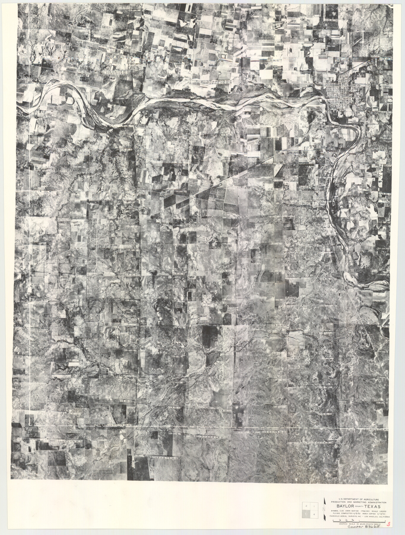
Baylor County Aerial Photograph Index Sheet 3
Baylor County Aerial Photograph Index 3
-
Map/Doc
83665
-
Collection
General Map Collection
-
Object Dates
1950 (Creation Date)
-
People and Organizations
U. S. Department of Agriculture (Publisher)
-
Counties
Baylor
-
Subjects
Aerial Photograph
-
Height x Width
20.4 x 15.5 inches
51.8 x 39.4 cm
-
Comments
Flying completed April 4, 1950 by Fairchild Aerial Surveys, Inc., of Los Angeles, California.
Received in office February 15, 1954.
Part of: General Map Collection
Upshur County Sketch File 3a

Print $2.00
- Digital $50.00
Upshur County Sketch File 3a
Size 6.5 x 7.1 inches
Map/Doc 38736
[Map of Connecting Lines along or near the Red River]
![75545, [Map of Connecting Lines along or near the Red River], General Map Collection](https://historictexasmaps.com/wmedia_w700/maps/75545.tif.jpg)
Print $40.00
- Digital $50.00
[Map of Connecting Lines along or near the Red River]
Size 37.9 x 48.7 inches
Map/Doc 75545
Flight Mission No. DIX-10P, Frame 78, Aransas County

Print $20.00
- Digital $50.00
Flight Mission No. DIX-10P, Frame 78, Aransas County
1956
Size 18.8 x 22.4 inches
Map/Doc 83939
Morris County Rolled Sketch 2A

Print $20.00
- Digital $50.00
Morris County Rolled Sketch 2A
Size 24.0 x 18.7 inches
Map/Doc 10225
Tarrant County Sketch File 24

Print $6.00
- Digital $50.00
Tarrant County Sketch File 24
Size 15.3 x 10.0 inches
Map/Doc 37735
Flight Mission No. DAG-17K, Frame 66, Matagorda County

Print $20.00
- Digital $50.00
Flight Mission No. DAG-17K, Frame 66, Matagorda County
1952
Size 18.5 x 22.3 inches
Map/Doc 86328
Harris County Sketch File 1

Print $20.00
- Digital $50.00
Harris County Sketch File 1
Size 14.8 x 12.6 inches
Map/Doc 25332
Lipscomb County Working Sketch 3

Print $20.00
- Digital $50.00
Lipscomb County Working Sketch 3
1965
Size 27.8 x 46.1 inches
Map/Doc 70579
Refugio County Rolled Sketch 5

Print $20.00
- Digital $50.00
Refugio County Rolled Sketch 5
1941
Size 45.0 x 42.5 inches
Map/Doc 9859
Dallam County Sketch File 12

Print $40.00
- Digital $50.00
Dallam County Sketch File 12
Size 50.0 x 9.1 inches
Map/Doc 10360
Atascosa County Sketch File 23

Print $40.00
- Digital $50.00
Atascosa County Sketch File 23
Size 17.1 x 21.2 inches
Map/Doc 10860
Val Verde County Rolled Sketch 44

Print $61.00
- Digital $50.00
Val Verde County Rolled Sketch 44
Size 10.2 x 15.3 inches
Map/Doc 49454
You may also like
Gray County Working Sketch 7

Print $20.00
- Digital $50.00
Gray County Working Sketch 7
1971
Size 41.3 x 28.7 inches
Map/Doc 63238
Hutchinson County Sketch File 3

Print $4.00
- Digital $50.00
Hutchinson County Sketch File 3
Size 8.2 x 12.8 inches
Map/Doc 27177
Map of Rock Island Lines and Connections - Route of Golden State Limited to California / Rocky Mountain Limited to Colorado

Print $20.00
- Digital $50.00
Map of Rock Island Lines and Connections - Route of Golden State Limited to California / Rocky Mountain Limited to Colorado
1923
Size 18.3 x 32.6 inches
Map/Doc 95890
Flight Mission No. CRC-2R, Frame 195, Chambers County

Print $20.00
- Digital $50.00
Flight Mission No. CRC-2R, Frame 195, Chambers County
1956
Size 18.6 x 22.3 inches
Map/Doc 84773
Sutton County Working Sketch 59

Print $40.00
- Digital $50.00
Sutton County Working Sketch 59
1957
Size 30.2 x 78.4 inches
Map/Doc 62402
[Surveys in the Bexar District along the Cibolo Creek]
![98, [Surveys in the Bexar District along the Cibolo Creek], General Map Collection](https://historictexasmaps.com/wmedia_w700/maps/98.tif.jpg)
Print $2.00
- Digital $50.00
[Surveys in the Bexar District along the Cibolo Creek]
1847
Size 13.0 x 7.4 inches
Map/Doc 98
Hidalgo County Sketch File 10

Print $20.00
- Digital $50.00
Hidalgo County Sketch File 10
1911
Size 16.3 x 34.8 inches
Map/Doc 11762
Comanche County Sketch File 25

Print $2.00
- Digital $50.00
Comanche County Sketch File 25
Size 7.4 x 3.6 inches
Map/Doc 19115
Crockett County Working Sketch 14

Print $3.00
- Digital $50.00
Crockett County Working Sketch 14
1916
Size 12.1 x 9.1 inches
Map/Doc 68347
Dickens County Sketch File K

Print $6.00
- Digital $50.00
Dickens County Sketch File K
1907
Size 14.5 x 9.1 inches
Map/Doc 20889
Flight Mission No. CLL-1N, Frame 30, Willacy County

Print $20.00
- Digital $50.00
Flight Mission No. CLL-1N, Frame 30, Willacy County
1954
Size 18.4 x 22.2 inches
Map/Doc 87011
Runnels County Working Sketch 18

Print $20.00
- Digital $50.00
Runnels County Working Sketch 18
1950
Size 27.9 x 31.2 inches
Map/Doc 63614