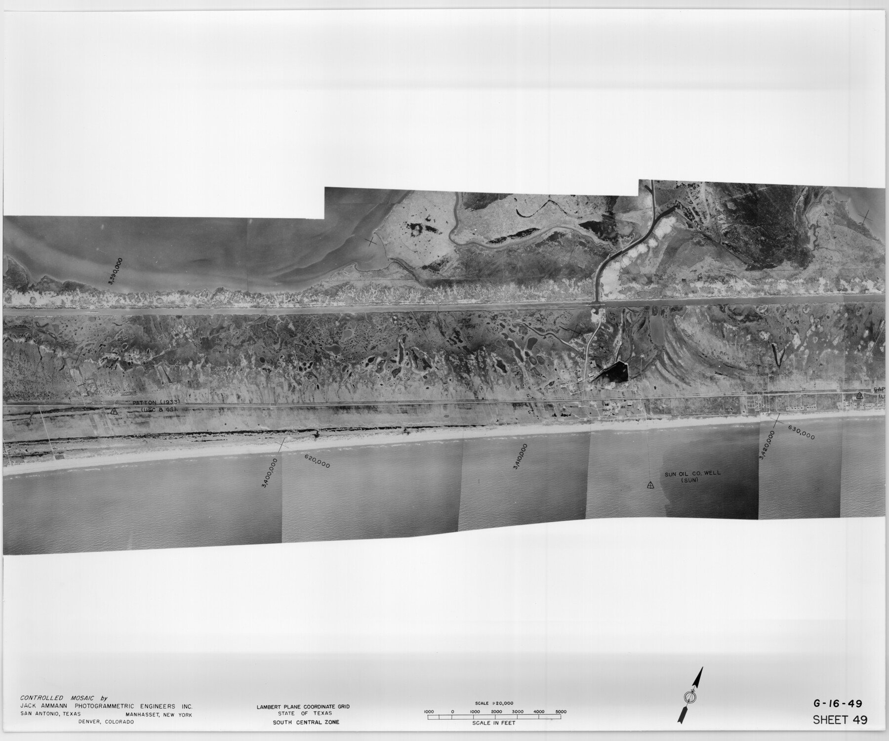
Controlled Mosaic by Jack Amman Photogrammetric Engineers, Inc - Sheet 49
[Coastal Aerial Photograph]
G-16-49
-
Map/Doc
83508
-
Collection
General Map Collection
-
Object Dates
1954 (Creation Date)
-
Subjects
Aerial Photograph
-
Height x Width
20.0 x 24.0 inches
50.8 x 61.0 cm
-
Comments
Statement on reverse side: "The reverse reflects the data shown thereon which was obtained by aerial survey made from December 31, 1953 to March 17, 1954 by Jack Ammann Photogrammetric Engineers, Inc."
Part of: General Map Collection
Presidio County Sketch File 61

Print $3.00
- Digital $50.00
Presidio County Sketch File 61
1930
Size 9.3 x 15.4 inches
Map/Doc 89987
United States Atlantic and Gulf Coasts Including Puerto Rico and the Virgin Islands

Print $40.00
- Digital $50.00
United States Atlantic and Gulf Coasts Including Puerto Rico and the Virgin Islands
1973
Size 21.5 x 60.4 inches
Map/Doc 76126
Duval County Rolled Sketch 33A

Print $40.00
- Digital $50.00
Duval County Rolled Sketch 33A
1949
Size 43.8 x 79.5 inches
Map/Doc 8818
Bell County Sketch File 21

Print $4.00
- Digital $50.00
Bell County Sketch File 21
1871
Size 8.0 x 9.7 inches
Map/Doc 14410
Upton County Rolled Sketch 33

Print $20.00
- Digital $50.00
Upton County Rolled Sketch 33
1951
Size 39.2 x 33.0 inches
Map/Doc 8076
La Salle County Sketch File 18

Print $4.00
- Digital $50.00
La Salle County Sketch File 18
1885
Size 8.5 x 15.5 inches
Map/Doc 29507
Brazos River, Brazos River Sheet 8

Print $4.00
- Digital $50.00
Brazos River, Brazos River Sheet 8
1926
Size 22.6 x 29.2 inches
Map/Doc 65301
Bexar County Boundary File 2

Print $32.00
- Digital $50.00
Bexar County Boundary File 2
Size 8.4 x 4.0 inches
Map/Doc 50518
Presidio County Rolled Sketch 95

Print $20.00
- Digital $50.00
Presidio County Rolled Sketch 95
1949
Size 45.4 x 37.5 inches
Map/Doc 9781
Hardin County Working Sketch 34

Print $20.00
- Digital $50.00
Hardin County Working Sketch 34
1980
Size 15.7 x 12.1 inches
Map/Doc 63432
Red River County Working Sketch 52

Print $20.00
- Digital $50.00
Red River County Working Sketch 52
1971
Size 35.5 x 24.7 inches
Map/Doc 72035
Burnet County Boundary File 6

Print $14.00
- Digital $50.00
Burnet County Boundary File 6
Size 14.1 x 8.6 inches
Map/Doc 50886
You may also like
Crockett County Rolled Sketch 79

Print $20.00
- Digital $50.00
Crockett County Rolled Sketch 79
1954
Size 36.1 x 47.8 inches
Map/Doc 76013
Motley County Working Sketch 10

Print $20.00
- Digital $50.00
Motley County Working Sketch 10
1984
Size 33.1 x 29.0 inches
Map/Doc 71215
Map of Washburn, Armstrong County, Texas junction of Pan-Handle (Southern Kansas) and Fort Worth & Denver City R'ys

Print $20.00
- Digital $50.00
Map of Washburn, Armstrong County, Texas junction of Pan-Handle (Southern Kansas) and Fort Worth & Denver City R'ys
1888
Map/Doc 97426
Cameron County Rolled Sketch 32

Print $40.00
- Digital $50.00
Cameron County Rolled Sketch 32
1981
Size 136.6 x 18.1 inches
Map/Doc 8579
El Paso County Working Sketch Graphic Index - north part

Print $20.00
- Digital $50.00
El Paso County Working Sketch Graphic Index - north part
1977
Size 33.4 x 45.0 inches
Map/Doc 76536
Flight Mission No. BRE-1P, Frame 10, Nueces County

Print $20.00
- Digital $50.00
Flight Mission No. BRE-1P, Frame 10, Nueces County
1956
Size 18.4 x 22.5 inches
Map/Doc 86618
Nacogdoches County Sketch File 9

Print $20.00
- Digital $50.00
Nacogdoches County Sketch File 9
Size 8.3 x 26.9 inches
Map/Doc 32252
Pecos County Sketch File 64

Print $12.00
- Digital $50.00
Pecos County Sketch File 64
1919
Size 11.1 x 8.8 inches
Map/Doc 33818
The Lower Valley of the Rio Grande Irrigated Farm Lands

Print $20.00
- Digital $50.00
The Lower Valley of the Rio Grande Irrigated Farm Lands
1918
Size 24.6 x 18.6 inches
Map/Doc 96729

Map of Harris District

Print $20.00
- Digital $50.00
Map of Harris District
1847
Size 25.4 x 34.4 inches
Map/Doc 1680
Eastland County Sketch File 21

Print $8.00
- Digital $50.00
Eastland County Sketch File 21
1990
Size 11.3 x 8.8 inches
Map/Doc 21622