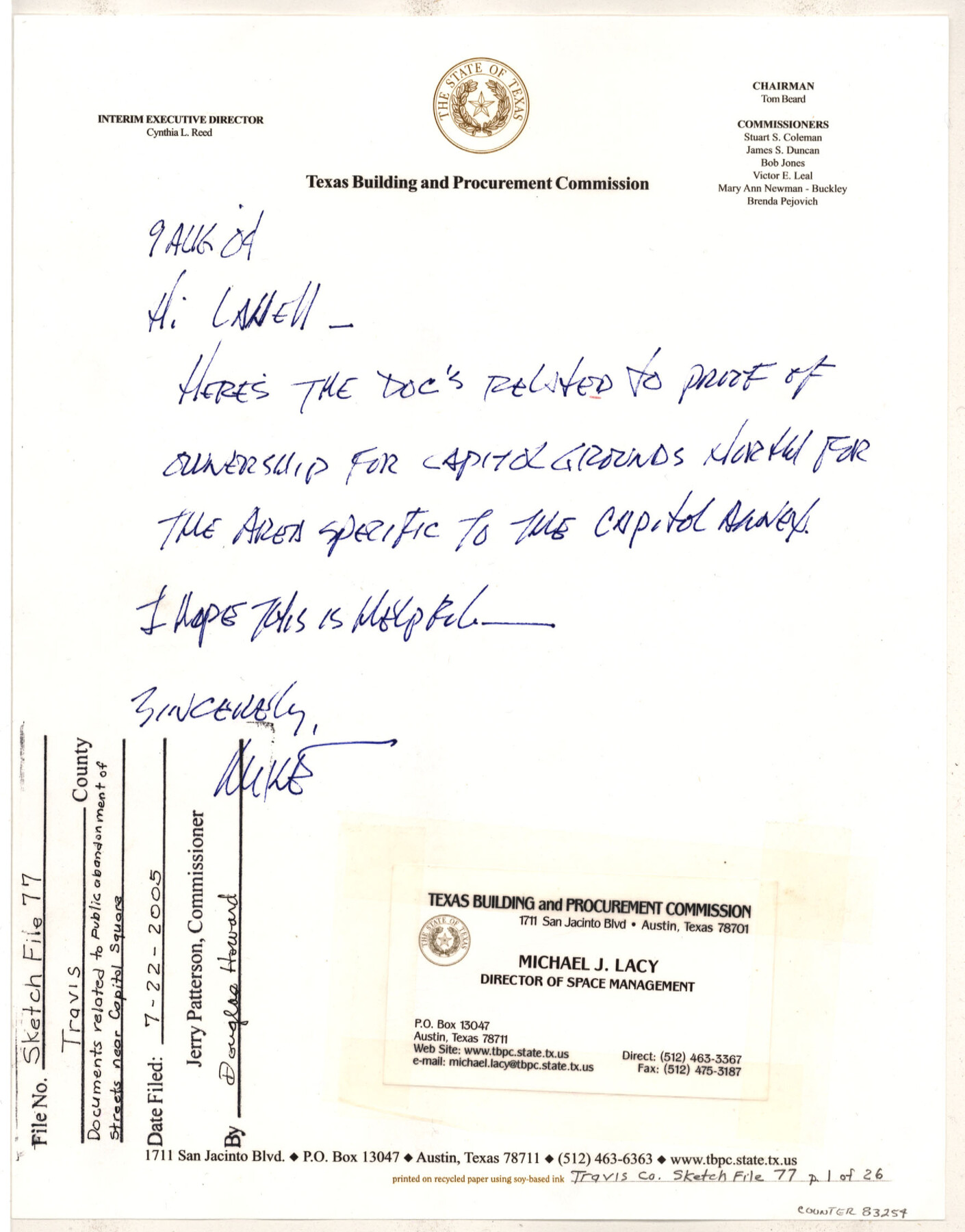
Travis County Sketch File 77
[Documents relating to the public abandonment of streets near Capitol Square]
-
Map/Doc
83254
-
Collection
General Map Collection
-
Object Dates
8/9/2004 (Creation Date)
7/22/2005 (File Date)
-
Counties
Travis
-
Subjects
Surveying Sketch File
-
Height x Width
11.0 x 8.5 inches
27.9 x 21.6 cm
-
Medium
paper, photocopy
-
Features
E. 10th Street
Peach Street
Lavaca Street
Austin
13 1/2 Street
W. 19th Street
E. 19th Street
W. 17th Street
E. 17th Street
W. 16th Street
E. 16th Street
W. 15th Street
E. 15th Street
W. 10th Street
Brazos Street
Congress Avenue
Trinity Street
W. 11th Street
E. 11th Street
San Jacinto Street
W. 14th Street
E. 14th Street
Colorado Street
W. 13th Street
E. 13th Street
W. 12th Street
E. 12th Street
Part of: General Map Collection
Coast Chart No. 211 - Padre I. and Laguna Madre, Lat. 27° 12' to Lat. 26° 33', Texas

Print $20.00
- Digital $50.00
Coast Chart No. 211 - Padre I. and Laguna Madre, Lat. 27° 12' to Lat. 26° 33', Texas
1890
Size 40.1 x 33.7 inches
Map/Doc 73500
Aransas County Rolled Sketch 15

Print $20.00
- Digital $50.00
Aransas County Rolled Sketch 15
1889
Size 39.3 x 38.0 inches
Map/Doc 78223
Tyler County Working Sketch 2

Print $20.00
- Digital $50.00
Tyler County Working Sketch 2
1915
Size 17.5 x 10.4 inches
Map/Doc 69472
Palo Pinto County

Print $20.00
- Digital $50.00
Palo Pinto County
Size 23.7 x 18.6 inches
Map/Doc 3936
Flight Mission No. DCL-4C, Frame 64, Kenedy County

Print $20.00
- Digital $50.00
Flight Mission No. DCL-4C, Frame 64, Kenedy County
1943
Size 18.6 x 22.4 inches
Map/Doc 85809
Shackelford County Sketch File 11

Print $20.00
- Digital $50.00
Shackelford County Sketch File 11
1914
Size 16.8 x 17.0 inches
Map/Doc 12317
Comal County Rolled Sketch 3

Print $20.00
- Digital $50.00
Comal County Rolled Sketch 3
1977
Size 19.0 x 17.3 inches
Map/Doc 5538

Real County Rolled Sketch 18

Print $20.00
- Digital $50.00
Real County Rolled Sketch 18
Size 22.0 x 28.0 inches
Map/Doc 7466

The Coast of Mexico from Laguna de Esmotes to Punta Brava

Print $20.00
- Digital $50.00
The Coast of Mexico from Laguna de Esmotes to Punta Brava
1775
Size 22.2 x 29.8 inches
Map/Doc 95920
Flight Mission No. DQN-6K, Frame 8, Calhoun County

Print $20.00
- Digital $50.00
Flight Mission No. DQN-6K, Frame 8, Calhoun County
1953
Size 18.5 x 22.1 inches
Map/Doc 84430
You may also like
Culberson County Working Sketch 71

Print $40.00
- Digital $50.00
Culberson County Working Sketch 71
1975
Size 48.4 x 32.9 inches
Map/Doc 68525
Map of Galveston, Harrisburg & San Antonio Railway in Pecos County

Print $40.00
- Digital $50.00
Map of Galveston, Harrisburg & San Antonio Railway in Pecos County
1888
Size 26.0 x 80.9 inches
Map/Doc 64399
Rusk County Sketch File 36

Print $20.00
Rusk County Sketch File 36
1950
Size 23.8 x 18.0 inches
Map/Doc 12274
[Atlas E, Table of Contents]
![78357, [Atlas E, Table of Contents], General Map Collection](https://historictexasmaps.com/wmedia_w700/maps/78357.tif.jpg)
Print $3.00
- Digital $50.00
[Atlas E, Table of Contents]
Size 17.8 x 11.0 inches
Map/Doc 78357
Shackelford County Working Sketch Graphic Index

Print $20.00
- Digital $50.00
Shackelford County Working Sketch Graphic Index
1972
Size 42.2 x 36.1 inches
Map/Doc 76696
Orange County Sketch File 9

Print $20.00
- Digital $50.00
Orange County Sketch File 9
1874
Size 12.7 x 22.9 inches
Map/Doc 12117
Brooks County Boundary File 3

Print $20.00
- Digital $50.00
Brooks County Boundary File 3
Size 42.1 x 6.6 inches
Map/Doc 50843
Lamb County Rolled Sketch 8

Print $20.00
- Digital $50.00
Lamb County Rolled Sketch 8
1910
Size 40.1 x 32.8 inches
Map/Doc 10728
DeWitt County Working Sketch 5

Print $20.00
- Digital $50.00
DeWitt County Working Sketch 5
1977
Size 34.6 x 36.8 inches
Map/Doc 68595
Childress County Boundary File 2

Print $66.00
- Digital $50.00
Childress County Boundary File 2
Size 7.3 x 3.9 inches
Map/Doc 51306
Dawson County Sketch File D

Print $20.00
- Digital $50.00
Dawson County Sketch File D
1917
Size 30.0 x 40.3 inches
Map/Doc 10363
Louisiana and Texas Intracoastal Waterway - Dredging Tributary Channel, Port Aransas to Aransas Pass, Texas

Print $20.00
- Digital $50.00
Louisiana and Texas Intracoastal Waterway - Dredging Tributary Channel, Port Aransas to Aransas Pass, Texas
1940
Size 31.1 x 42.3 inches
Map/Doc 61820