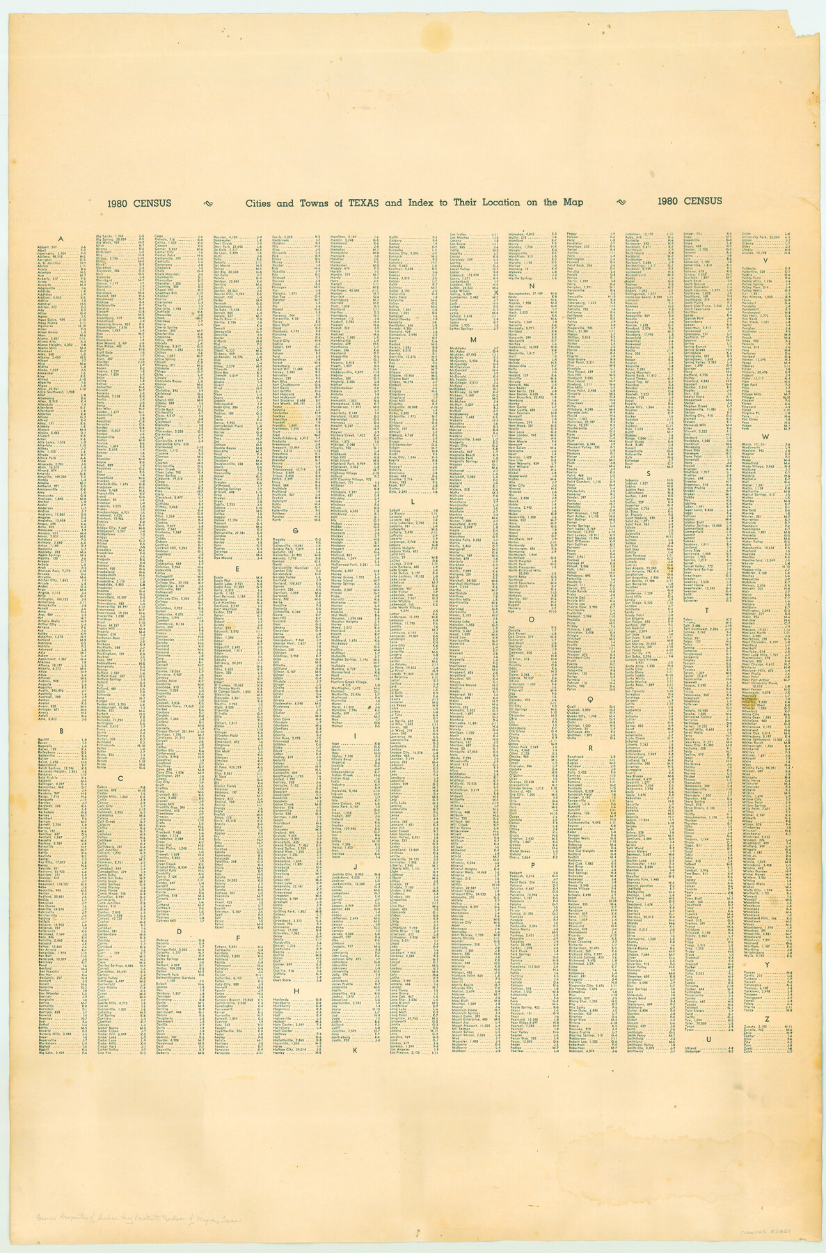
Texas
- 
                          Map/Doc
82851
 - 
                            Collection
General Map Collection
 - 
                            Object Dates
1988 (Creation Date)
 - 
                            People and Organizations
The Thomas D. Murphy Company (Publisher)
The Thomas D. Murphy Company (Printer)
 - 
                            Subjects
State of Texas
 - 
                            Height x Width
33.8 x 22.3 inches
85.9 x 56.6 cm
 - 
                            Comments
Former property of Eulice Ivy Puckett Hudson of Myra, Texas. See map 82851 for info on reverse.
 
Part of: General Map Collection
            Throckmorton County Working Sketch 4


                                            Print $20.00                    
                                             -                         Digital $50.00                                    
                Throckmorton County Working Sketch 4
1949
Size 25.0 x 24.9 inches
                                Map/Doc 62113
            
            Liberty County Sketch File 40


                                            Print $3.00                    
                                             -                         Digital $50.00                                    
                Liberty County Sketch File 40
Size 9.8 x 17.3 inches
                                Map/Doc 29996
            
            Map of the Houston & Great Northern Railroad


                                            Print $40.00                    
                                             -                         Digital $50.00                                    
                Map of the Houston & Great Northern Railroad
1871
Size 26.2 x 87.5 inches
                                Map/Doc 64471
            
            Flight Mission No. BRE-1P, Frame 51, Nueces County


                                            Print $20.00                    
                                             -                         Digital $50.00                                    
                Flight Mission No. BRE-1P, Frame 51, Nueces County
1956
Size 18.3 x 22.2 inches
                                Map/Doc 86640
            
            Sutton County Working Sketch 9


                                            Print $20.00                    
                                             -                         Digital $50.00                                    
                Sutton County Working Sketch 9
1972
Size 41.8 x 38.1 inches
                                Map/Doc 62352
            
            Louisiana and Texas Intracoastal Waterway


                                            Print $20.00                    
                                             -                         Digital $50.00                                    
                Louisiana and Texas Intracoastal Waterway
1937
Size 13.7 x 19.6 inches
                                Map/Doc 83348
            
            [Right of Way Map, Belton Branch of the M.K.&T. RR.]


                                            Print $20.00                    
                                             -                         Digital $50.00                                    
                [Right of Way Map, Belton Branch of the M.K.&T. RR.]
1896
Size 22.0 x 7.1 inches
                                Map/Doc 64221
            
            T. & G. Ry. Main Line, Texas, Right of Way Map, Center to Gary


                                            Print $40.00                    
                                             -                         Digital $50.00                                    
                T. & G. Ry. Main Line, Texas, Right of Way Map, Center to Gary
1917
Size 32.4 x 122.8 inches
                                Map/Doc 64570
            
            [Surveys near the Sabine River]


                                            Print $20.00                    
                                             -                         Digital $50.00                                    
                [Surveys near the Sabine River]
1840
Size 18.8 x 20.9 inches
                                Map/Doc 302
            
            Cooke County Boundary File 1


                                            Print $4.00                    
                                             -                         Digital $50.00                                    
                Cooke County Boundary File 1
Size 12.6 x 7.5 inches
                                Map/Doc 51826
            
            Wichita County Sketch File A


                                            Print $4.00                    
                                             -                         Digital $50.00                                    
                Wichita County Sketch File A
1861
Size 7.8 x 10.3 inches
                                Map/Doc 40036
            
            Brazos River, Sandpit Extension Sheet


                                            Print $20.00                    
                                             -                         Digital $50.00                                    
                Brazos River, Sandpit Extension Sheet
1926
Size 31.3 x 36.5 inches
                                Map/Doc 69663
            You may also like
            Jefferson County Sketch File 53


                                            Print $36.00                    
                                             -                         Digital $50.00                                    
                Jefferson County Sketch File 53
1973
Size 11.2 x 8.9 inches
                                Map/Doc 28255
            
            [Sketch showing University Lands in West Texas]


                                            Print $20.00                    
                                             -                         Digital $50.00                                    
                [Sketch showing University Lands in West Texas]
Size 20.5 x 27.8 inches
                                Map/Doc 62964
            
            [3KA and vicinity]


                                            Print $20.00                    
                                             -                         Digital $50.00                                    
                [3KA and vicinity]
Size 31.3 x 15.4 inches
                                Map/Doc 90847
            
            Hunt County Rolled Sketch 5


                                            Print $20.00                    
                                             -                         Digital $50.00                                    
                Hunt County Rolled Sketch 5
1966
Size 24.7 x 24.4 inches
                                Map/Doc 6273
            
            Johnson County Sketch File 22


                                            Print $20.00                    
                                             -                         Digital $50.00                                    
                Johnson County Sketch File 22
1873
Size 18.8 x 16.2 inches
                                Map/Doc 11891
            
            Red River County Rolled Sketch 8


                                            Print $20.00                    
                                             -                         Digital $50.00                                    
                Red River County Rolled Sketch 8
Size 32.5 x 17.3 inches
                                Map/Doc 7474
            
            Plan of the City of Galveston, Texas


                                            Print $20.00                    
                                             -                         Digital $50.00                                    
                Plan of the City of Galveston, Texas
1845
Size 18.4 x 27.8 inches
                                Map/Doc 62970
            
            Township No. 6 South Range No. 9 West of the Indian Meridian


                                            Print $20.00                    
                                             -                         Digital $50.00                                    
                Township No. 6 South Range No. 9 West of the Indian Meridian
1874
Size 19.2 x 24.5 inches
                                Map/Doc 75166
            
            Flight Mission No. CUG-3P, Frame 83, Kleberg County


                                            Print $20.00                    
                                             -                         Digital $50.00                                    
                Flight Mission No. CUG-3P, Frame 83, Kleberg County
1956
Size 18.7 x 22.4 inches
                                Map/Doc 86258
            
            Zavala County Sketch File 49


                                            Print $10.00                    
                                             -                         Digital $50.00                                    
                Zavala County Sketch File 49
1955
Size 14.5 x 9.1 inches
                                Map/Doc 41441
            
            Outer Continental Shelf Leasing Maps (Louisiana Offshore Operations)


                                            Print $20.00                    
                                             -                         Digital $50.00                                    
                Outer Continental Shelf Leasing Maps (Louisiana Offshore Operations)
1959
Size 17.8 x 14.0 inches
                                Map/Doc 76100