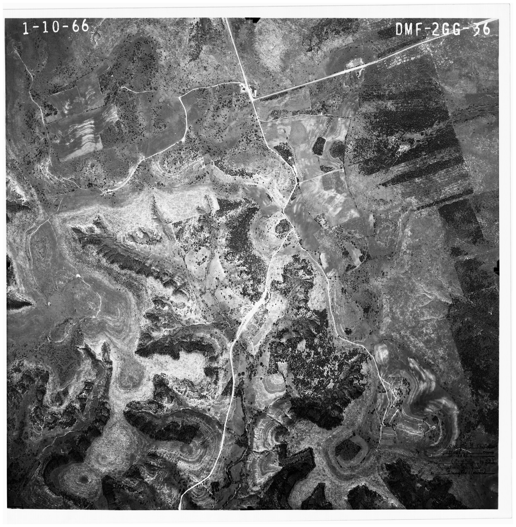
Hunt County Rolled Sketch 5
[Aerial photo relating to SF-15982]
-
Map/Doc
6273
-
Collection
General Map Collection
-
Object Dates
1/10/1966 (Creation Date)
-
Counties
Hunt
-
Subjects
Surveying Rolled Sketch
-
Height x Width
24.7 x 24.4 inches
62.7 x 62.0 cm
-
Medium
photograph
Part of: General Map Collection
Flight Mission No. DAG-23K, Frame 20, Matagorda County

Print $20.00
- Digital $50.00
Flight Mission No. DAG-23K, Frame 20, Matagorda County
1953
Size 18.4 x 22.2 inches
Map/Doc 86482
Blanco County Sketch File 42

Print $20.00
- Digital $50.00
Blanco County Sketch File 42
1889
Size 13.5 x 8.8 inches
Map/Doc 14656
Zavala County Sketch File 20

Print $4.00
- Digital $50.00
Zavala County Sketch File 20
1911
Size 9.1 x 8.2 inches
Map/Doc 41374
Reagan County Sketch File 27

Print $8.00
- Digital $50.00
Reagan County Sketch File 27
1949
Size 11.4 x 8.7 inches
Map/Doc 35021
Rockwall County

Print $20.00
- Digital $50.00
Rockwall County
1941
Size 29.7 x 24.1 inches
Map/Doc 95628
Galveston County NRC Article 33.136 Sketch 42

Print $26.00
- Digital $50.00
Galveston County NRC Article 33.136 Sketch 42
2006
Size 22.1 x 33.7 inches
Map/Doc 83070
Tom Green County Sketch File 65

Print $18.00
- Digital $50.00
Tom Green County Sketch File 65
1892
Size 13.3 x 8.4 inches
Map/Doc 38227
Erath County Sketch File 12a

Print $4.00
- Digital $50.00
Erath County Sketch File 12a
1871
Size 12.7 x 8.2 inches
Map/Doc 22283
Flight Mission No. DCL-6C, Frame 158, Kenedy County

Print $20.00
- Digital $50.00
Flight Mission No. DCL-6C, Frame 158, Kenedy County
1943
Size 15.3 x 15.2 inches
Map/Doc 85984
Harris County Sketch File 23

Print $4.00
- Digital $50.00
Harris County Sketch File 23
Size 8.5 x 6.2 inches
Map/Doc 25377
Val Verde County Rolled Sketch 79

Print $20.00
- Digital $50.00
Val Verde County Rolled Sketch 79
1983
Size 25.6 x 21.7 inches
Map/Doc 8141
Lampasas County Sketch File B

Print $20.00
- Digital $50.00
Lampasas County Sketch File B
1886
Size 15.0 x 22.4 inches
Map/Doc 11977
You may also like
Bell County Working Sketch 7

Print $20.00
- Digital $50.00
Bell County Working Sketch 7
1947
Size 43.7 x 34.9 inches
Map/Doc 67347
Roberts County Working Sketch 14

Print $20.00
- Digital $50.00
Roberts County Working Sketch 14
1975
Size 23.1 x 24.6 inches
Map/Doc 63540
General Chart of the Kingdom of New Spain betn. parallels of 16 & 38° N. from materials in Mexico at commencement of year of 1804

Print $20.00
General Chart of the Kingdom of New Spain betn. parallels of 16 & 38° N. from materials in Mexico at commencement of year of 1804
1804
Size 38.4 x 26.5 inches
Map/Doc 95310
Pecos County Rolled Sketch 144

Print $20.00
- Digital $50.00
Pecos County Rolled Sketch 144
1956
Size 28.5 x 29.8 inches
Map/Doc 7277
Right of Way and Track Map of The Missouri, Kansas & Texas Railway of Texas

Print $40.00
- Digital $50.00
Right of Way and Track Map of The Missouri, Kansas & Texas Railway of Texas
1918
Size 25.4 x 75.5 inches
Map/Doc 64533
Flight Mission No. CRE-1R, Frame 123, Jackson County

Print $20.00
- Digital $50.00
Flight Mission No. CRE-1R, Frame 123, Jackson County
1956
Size 16.0 x 16.0 inches
Map/Doc 85334
San Augustine County Rolled Sketch 1

Print $20.00
- Digital $50.00
San Augustine County Rolled Sketch 1
1946
Size 19.1 x 30.4 inches
Map/Doc 7553
Fort Bend County Sketch File 30

Print $18.00
- Digital $50.00
Fort Bend County Sketch File 30
1920
Size 12.1 x 6.5 inches
Map/Doc 22988
Flight Mission No. BRA-7M, Frame 197, Jefferson County

Print $20.00
- Digital $50.00
Flight Mission No. BRA-7M, Frame 197, Jefferson County
1953
Size 18.6 x 22.4 inches
Map/Doc 85565
Presidio County Rolled Sketch 75

Print $20.00
- Digital $50.00
Presidio County Rolled Sketch 75
1938
Size 24.8 x 20.0 inches
Map/Doc 7363
Leon River, Leon River Sheet No. 1

Print $4.00
- Digital $50.00
Leon River, Leon River Sheet No. 1
1936
Size 29.2 x 19.8 inches
Map/Doc 65067
Maverick County Working Sketch 16

Print $20.00
- Digital $50.00
Maverick County Working Sketch 16
1975
Size 38.1 x 27.6 inches
Map/Doc 70908