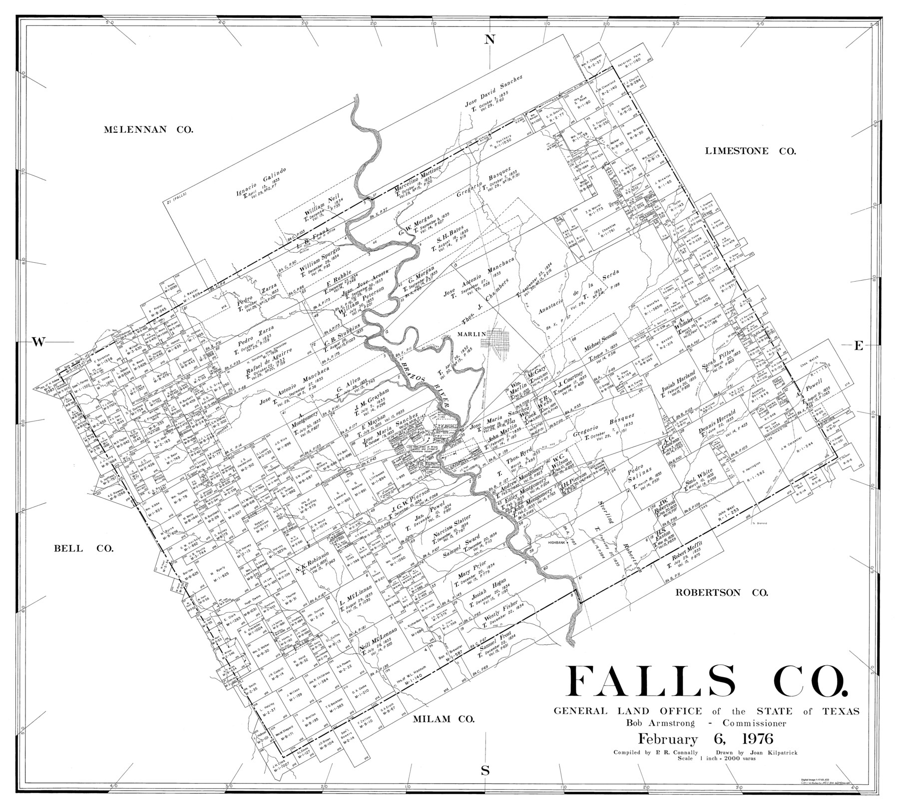
Falls Co.
-
Map/Doc
77276
-
Collection
General Map Collection
-
Object Dates
2/6/1976 (Creation Date)
-
People and Organizations
Preston R. Connally (Compiler)
Joan Kilpatrick (Draftsman)
-
Counties
Falls
-
Subjects
County
-
Height x Width
39.3 x 44.1 inches
99.8 x 112.0 cm
-
Scale
1" = 2000 varas
Part of: General Map Collection
Presidio County Working Sketch 90

Print $20.00
- Digital $50.00
Presidio County Working Sketch 90
1973
Size 25.5 x 28.1 inches
Map/Doc 71767

La Salle County Working Sketch 21

Print $20.00
- Digital $50.00
La Salle County Working Sketch 21
1942
Size 25.4 x 24.0 inches
Map/Doc 70322
Galveston County NRC Article 33.136 Location Key Sheet

Print $20.00
- Digital $50.00
Galveston County NRC Article 33.136 Location Key Sheet
1993
Size 27.3 x 23.0 inches
Map/Doc 83000
Menard County Rolled Sketch 8

Print $20.00
- Digital $50.00
Menard County Rolled Sketch 8
1949
Size 36.6 x 37.7 inches
Map/Doc 9510
9th Street & Ave. A. Galveston, Texas showing beginning of jetty right of way, and seawall extension track

Print $20.00
- Digital $50.00
9th Street & Ave. A. Galveston, Texas showing beginning of jetty right of way, and seawall extension track
1920
Size 21.3 x 33.6 inches
Map/Doc 73630
Collin County Sketch File 9

Print $4.00
- Digital $50.00
Collin County Sketch File 9
1878
Size 8.3 x 10.1 inches
Map/Doc 18870
Maps of Gulf Intracoastal Waterway, Texas - Sabine River to the Rio Grande and connecting waterways including ship channels

Print $20.00
- Digital $50.00
Maps of Gulf Intracoastal Waterway, Texas - Sabine River to the Rio Grande and connecting waterways including ship channels
1966
Size 15.7 x 22.0 inches
Map/Doc 61987

Potter County Boundary File 5

Print $24.00
- Digital $50.00
Potter County Boundary File 5
Size 15.0 x 9.4 inches
Map/Doc 58013
Travis County Sketch File 27

Print $8.00
- Digital $50.00
Travis County Sketch File 27
1872
Size 12.9 x 8.3 inches
Map/Doc 38338
Refugio County Working Sketch 13

Print $20.00
- Digital $50.00
Refugio County Working Sketch 13
1961
Size 23.8 x 29.8 inches
Map/Doc 63522
You may also like
Brazoria County Rolled Sketch 19

Print $20.00
- Digital $50.00
Brazoria County Rolled Sketch 19
Size 16.9 x 19.0 inches
Map/Doc 5166
Ector County Sketch File 12

Print $12.00
- Digital $50.00
Ector County Sketch File 12
1956
Size 11.4 x 9.0 inches
Map/Doc 21645
Glasscock County Sketch File 18

Print $8.00
- Digital $50.00
Glasscock County Sketch File 18
1931
Size 9.7 x 6.2 inches
Map/Doc 24192
Blanco County Sketch File 16

Print $20.00
- Digital $50.00
Blanco County Sketch File 16
1861
Size 19.9 x 15.8 inches
Map/Doc 10929
R. H. Fulton Lands

Print $20.00
- Digital $50.00
R. H. Fulton Lands
Size 39.9 x 14.3 inches
Map/Doc 92509
Trinity County Rolled Sketch 4

Print $20.00
- Digital $50.00
Trinity County Rolled Sketch 4
1948
Size 38.5 x 42.4 inches
Map/Doc 10026
Map of Fayette County

Print $20.00
- Digital $50.00
Map of Fayette County
1871
Size 19.2 x 22.0 inches
Map/Doc 3538
Hutchinson County Rolled Sketch 38

Print $40.00
- Digital $50.00
Hutchinson County Rolled Sketch 38
1953
Size 27.5 x 85.9 inches
Map/Doc 10679
Refugio County NRC Article 33.136 Location Key Sheet

Print $20.00
- Digital $50.00
Refugio County NRC Article 33.136 Location Key Sheet
1979
Size 27.0 x 23.0 inches
Map/Doc 77034
Arizona Chemical Co. O'Donnell Plant

Print $20.00
- Digital $50.00
Arizona Chemical Co. O'Donnell Plant
Size 30.2 x 33.2 inches
Map/Doc 92947
Val Verde County Rolled Sketch 65

Print $20.00
- Digital $50.00
Val Verde County Rolled Sketch 65
1956
Size 43.0 x 45.0 inches
Map/Doc 10083
Bandera County Rolled Sketch 4

Print $20.00
- Digital $50.00
Bandera County Rolled Sketch 4
1963
Size 36.0 x 28.5 inches
Map/Doc 5116