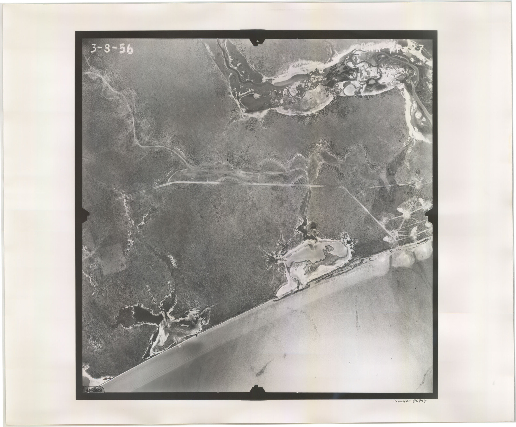
Flight Mission No. CRK-7P, Frame 27, Refugio County
CRK-7P-27
-
Map/Doc
86947
-
Collection
General Map Collection
-
Object Dates
1956/3/8 (Creation Date)
-
People and Organizations
U. S. Department of Agriculture (Publisher)
-
Counties
Refugio
-
Subjects
Aerial Photograph
-
Height x Width
18.3 x 22.1 inches
46.5 x 56.1 cm
-
Comments
Flown by V. L. Beavers and Associates of San Antonio, Texas.
Part of: General Map Collection
Val Verde County Working Sketch 102

Print $20.00
- Digital $50.00
Val Verde County Working Sketch 102
1981
Size 30.2 x 30.3 inches
Map/Doc 72237
Harrison County Working Sketch 13

Print $20.00
- Digital $50.00
Harrison County Working Sketch 13
1961
Size 32.4 x 37.0 inches
Map/Doc 66033
Nolan County Sketch File 3

Print $20.00
- Digital $50.00
Nolan County Sketch File 3
Size 8.0 x 36.6 inches
Map/Doc 42161
Polk County Working Sketch 4

Print $20.00
- Digital $50.00
Polk County Working Sketch 4
1925
Size 46.3 x 42.6 inches
Map/Doc 71619
Donley County Sketch File B1

Print $20.00
- Digital $50.00
Donley County Sketch File B1
Size 32.0 x 21.3 inches
Map/Doc 11371
America's Fun-Tier: Texas 1966 Official State Highway Map

Digital $50.00
America's Fun-Tier: Texas 1966 Official State Highway Map
Size 28.0 x 36.2 inches
Map/Doc 94323
Hood County Working Sketch 20

Print $20.00
- Digital $50.00
Hood County Working Sketch 20
1989
Size 39.6 x 34.7 inches
Map/Doc 66214
Newton County Working Sketch 24

Print $20.00
- Digital $50.00
Newton County Working Sketch 24
1953
Size 13.4 x 16.1 inches
Map/Doc 71270
Flight Mission No. BRA-9M, Frame 65, Jefferson County

Print $20.00
- Digital $50.00
Flight Mission No. BRA-9M, Frame 65, Jefferson County
1953
Size 18.6 x 22.2 inches
Map/Doc 85648
[Map of Polk County]
![4613, [Map of Polk County], General Map Collection](https://historictexasmaps.com/wmedia_w700/maps/4613-1.tif.jpg)
Print $20.00
- Digital $50.00
[Map of Polk County]
1855
Size 21.2 x 31.0 inches
Map/Doc 4613
Kinney County Sketch File 15

Print $20.00
- Digital $50.00
Kinney County Sketch File 15
1887
Size 13.0 x 19.0 inches
Map/Doc 11940
Pecos County Sketch File 61

Print $40.00
- Digital $50.00
Pecos County Sketch File 61
1918
Size 16.3 x 15.3 inches
Map/Doc 33788
You may also like
Crane County Sketch File 3c

Print $6.00
- Digital $50.00
Crane County Sketch File 3c
1884
Size 12.8 x 7.9 inches
Map/Doc 19559
Shelby County Working Sketch 11

Print $20.00
- Digital $50.00
Shelby County Working Sketch 11
1945
Size 32.2 x 43.2 inches
Map/Doc 63864
Sutton County Rolled Sketch 60

Print $20.00
- Digital $50.00
Sutton County Rolled Sketch 60
1964
Size 23.5 x 34.7 inches
Map/Doc 7897

Sabine County Sketch File 4

Print $22.00
Sabine County Sketch File 4
1876
Size 8.1 x 12.8 inches
Map/Doc 35606
Upton County Working Sketch 1

Print $20.00
- Digital $50.00
Upton County Working Sketch 1
1906
Size 11.6 x 20.0 inches
Map/Doc 69497
Guadalupe County Sketch File 12

Print $8.00
- Digital $50.00
Guadalupe County Sketch File 12
1869
Size 12.9 x 8.2 inches
Map/Doc 24683
Flight Mission No. DCL-6C, Frame 176, Kenedy County

Print $20.00
- Digital $50.00
Flight Mission No. DCL-6C, Frame 176, Kenedy County
1943
Size 18.6 x 22.2 inches
Map/Doc 85988
Sutton County Rolled Sketch H

Print $40.00
- Digital $50.00
Sutton County Rolled Sketch H
Size 24.9 x 50.0 inches
Map/Doc 9973
Flight Mission No. BRE-1P, Frame 50, Nueces County

Print $20.00
- Digital $50.00
Flight Mission No. BRE-1P, Frame 50, Nueces County
1956
Size 18.5 x 22.3 inches
Map/Doc 86639
Bosque County Sketch File 27

Print $40.00
- Digital $50.00
Bosque County Sketch File 27
Size 14.7 x 17.5 inches
Map/Doc 10937
Arroyo Colorado, Rio Hondo Sheet

Print $40.00
- Digital $50.00
Arroyo Colorado, Rio Hondo Sheet
1929
Size 35.0 x 52.6 inches
Map/Doc 65129