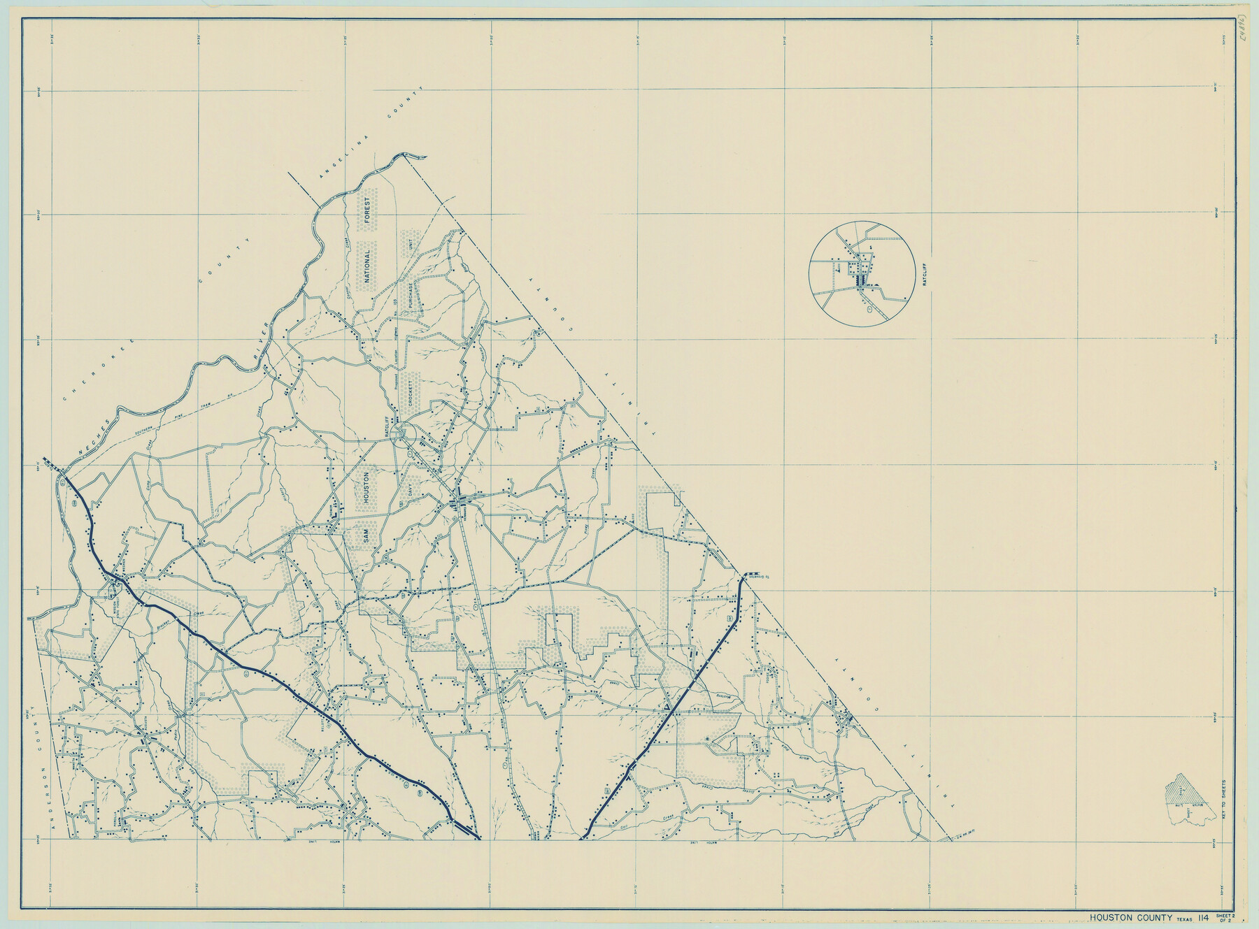
General Highway Map, Houston County, Texas
-
Map/Doc
79133
-
Collection
Texas State Library and Archives
-
Object Dates
1940 (Creation Date)
-
People and Organizations
Texas State Highway Department (Publisher)
-
Counties
Houston
-
Subjects
County
-
Height x Width
18.3 x 24.8 inches
46.5 x 63.0 cm
-
Comments
Prints available courtesy of the Texas State Library and Archives.
More info can be found here: TSLAC Map 04896
Part of: Texas State Library and Archives
General Highway Map, Hockley County, Texas

Print $20.00
General Highway Map, Hockley County, Texas
1940
Size 18.5 x 25.0 inches
Map/Doc 79130

Preliminary Chart of the Sea Coast of Texas in the Vicinity of Galveston

Print $20.00
Preliminary Chart of the Sea Coast of Texas in the Vicinity of Galveston
1856
Size 26.3 x 19.7 inches
Map/Doc 76256
Map and General Information of Lower Rio Grande Valley of Texas

Print $20.00
Map and General Information of Lower Rio Grande Valley of Texas
1937
Size 21.4 x 33.9 inches
Map/Doc 76313
General Highway Map, Montague County, Texas

Print $20.00
General Highway Map, Montague County, Texas
1961
Size 24.8 x 18.2 inches
Map/Doc 79601
General Highway Map. Detail of Cities and Towns in Tarrant County, Texas [Fort Worth and vicinity]
![79252, General Highway Map. Detail of Cities and Towns in Tarrant County, Texas [Fort Worth and vicinity], Texas State Library and Archives](https://historictexasmaps.com/wmedia_w700/maps/79252-GC.tif.jpg)
Print $20.00
General Highway Map. Detail of Cities and Towns in Tarrant County, Texas [Fort Worth and vicinity]
1940
Size 24.9 x 18.2 inches
Map/Doc 79252
General Highway Map, Ward County, Texas

Print $20.00
General Highway Map, Ward County, Texas
1940
Size 18.5 x 25.1 inches
Map/Doc 79271
General Highway Map. Detail of Cities and Towns in Grimes County, Texas

Print $20.00
General Highway Map. Detail of Cities and Towns in Grimes County, Texas
1961
Size 18.2 x 24.8 inches
Map/Doc 79491
Map of Texas compiled from surveys recorded in the Land Office of Texas, and other official surveys

Print $20.00
Map of Texas compiled from surveys recorded in the Land Office of Texas, and other official surveys
1841
Size 25.1 x 20.4 inches
Map/Doc 76253
General Highway Map, Guadalupe County, Texas

Print $20.00
General Highway Map, Guadalupe County, Texas
1961
Size 18.1 x 24.6 inches
Map/Doc 79492
General Highway Map, Winkler County, Texas

Print $20.00
General Highway Map, Winkler County, Texas
1961
Size 18.2 x 24.8 inches
Map/Doc 79716
General Highway Map. Detail of Cities and Towns in Harris County, Texas

Print $20.00
General Highway Map. Detail of Cities and Towns in Harris County, Texas
1939
Size 18.2 x 24.9 inches
Map/Doc 79119
You may also like
Atascosa County Sketch File 16a

Print $4.00
- Digital $50.00
Atascosa County Sketch File 16a
1878
Size 12.7 x 8.2 inches
Map/Doc 13781
[Andrews County Road Map]
![92453, [Andrews County Road Map], Twichell Survey Records](https://historictexasmaps.com/wmedia_w700/maps/92453-1.tif.jpg)
Print $20.00
- Digital $50.00
[Andrews County Road Map]
1951
Size 18.6 x 25.6 inches
Map/Doc 92453
Wise County Sketch File 25

Print $4.00
- Digital $50.00
Wise County Sketch File 25
1860
Size 12.5 x 8.1 inches
Map/Doc 40572
Mitchell County Sketch File 13

Print $20.00
- Digital $50.00
Mitchell County Sketch File 13
1925
Size 19.3 x 16.3 inches
Map/Doc 12100
Map of section no. 12 of a survey of Padre Island made for the Office of the Attorney General of the State of Texas

Print $40.00
- Digital $50.00
Map of section no. 12 of a survey of Padre Island made for the Office of the Attorney General of the State of Texas
1941
Size 75.9 x 41.0 inches
Map/Doc 2268
McCulloch County Sketch File 11

Print $14.00
- Digital $50.00
McCulloch County Sketch File 11
1929
Size 11.2 x 8.8 inches
Map/Doc 31191
Hardin County Working Sketch 11

Print $20.00
- Digital $50.00
Hardin County Working Sketch 11
1929
Size 25.4 x 24.1 inches
Map/Doc 63409
Geological Report on Robertson County

Print $20.00
- Digital $50.00
Geological Report on Robertson County
1918
Size 21.7 x 25.8 inches
Map/Doc 97084
[Surveys in Austin's Colony on the east side of the Colorado River]
![167, [Surveys in Austin's Colony on the east side of the Colorado River], General Map Collection](https://historictexasmaps.com/wmedia_w700/maps/167.tif.jpg)
Print $20.00
- Digital $50.00
[Surveys in Austin's Colony on the east side of the Colorado River]
1830
Size 30.9 x 25.1 inches
Map/Doc 167
Cooke County Working Sketch 15

Print $20.00
- Digital $50.00
Cooke County Working Sketch 15
1946
Size 29.9 x 23.5 inches
Map/Doc 68252
Map of Chicago, Rock Island & Texas Railway

Print $20.00
- Digital $50.00
Map of Chicago, Rock Island & Texas Railway
1892
Size 22.4 x 44.0 inches
Map/Doc 64443
Nueces County Rolled Sketch 111

Print $20.00
- Digital $50.00
Nueces County Rolled Sketch 111
1991
Size 24.6 x 36.1 inches
Map/Doc 7119