[Surveys in Austin's Colony on the east side of the Colorado River]
Atlas D, Sketch 2 (D-2)
D-2
-
Map/Doc
167
-
Collection
General Map Collection
-
Object Dates
1830 (Creation Date)
-
People and Organizations
[Elias Wightman] (Surveyor/Engineer)
-
Counties
Matagorda
-
Subjects
Atlas
-
Height x Width
30.9 x 25.1 inches
78.5 x 63.8 cm
-
Medium
paper, manuscript
-
Comments
Conserved in 2004.
-
Features
Little Boggy Creek
New Road to Brassoria
South Branch Live Oak Creek
Boggy Creek
Colorado River
Matagorda Bay
Bade Island
Wilson's B[ranch of Prairie Creek]
Chiltapia Island
Surveyor's Road
Cedar Island
Lake Austin
Prairie Creek
Good Water Creek
Live Oak B[ranch of Prairie Creek]
Cottonwod [sic] B[ranch of Prairie Creek
Main Fork [of Prairie Creek]
New Road to Brassoria
[Road] to Labaco
Karandawas Ford
Part of: General Map Collection
Harris County Working Sketch 54
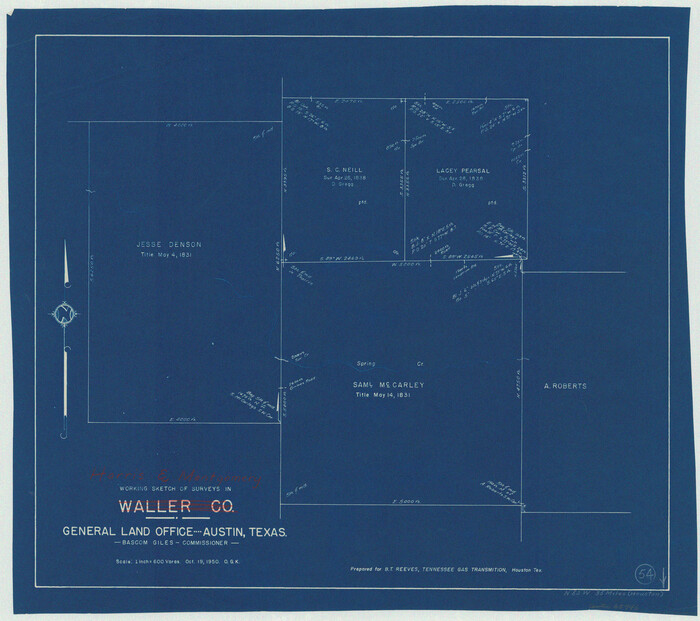

Print $20.00
- Digital $50.00
Harris County Working Sketch 54
1950
Size 21.3 x 24.1 inches
Map/Doc 65946
Floyd County Working Sketch 3


Print $20.00
- Digital $50.00
Floyd County Working Sketch 3
1948
Size 27.4 x 22.8 inches
Map/Doc 69182
Throckmorton County Sketch File 7
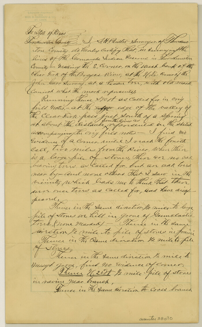

Print $8.00
- Digital $50.00
Throckmorton County Sketch File 7
Size 14.3 x 8.8 inches
Map/Doc 38090
Jeff Davis County Working Sketch 35


Print $20.00
- Digital $50.00
Jeff Davis County Working Sketch 35
1979
Size 34.4 x 36.9 inches
Map/Doc 66530
Motley County Sketch File 8 (S)
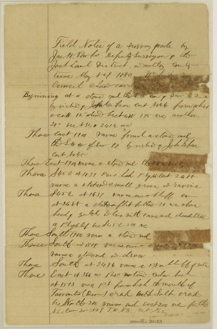

Print $4.00
- Digital $50.00
Motley County Sketch File 8 (S)
1883
Size 12.8 x 8.4 inches
Map/Doc 32153
Flight Mission No. CGI-4N, Frame 24, Cameron County
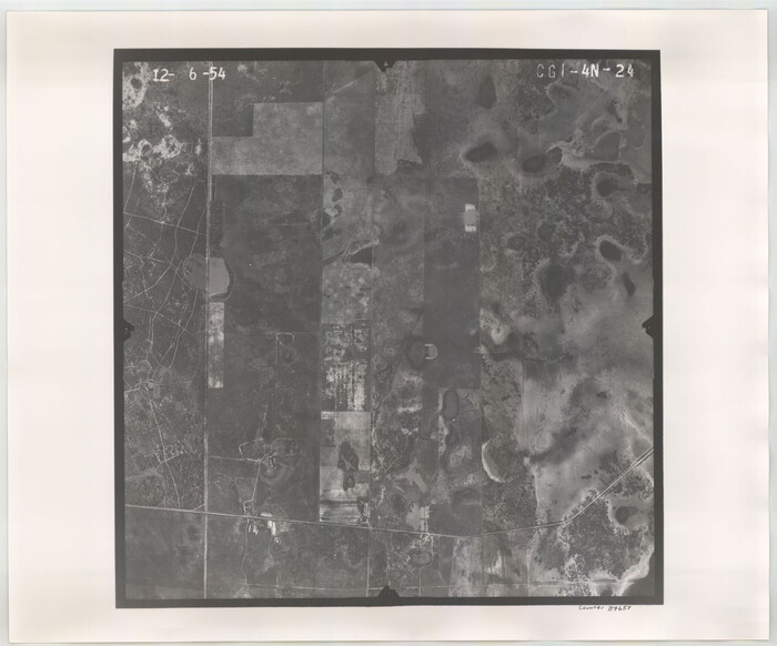

Print $20.00
- Digital $50.00
Flight Mission No. CGI-4N, Frame 24, Cameron County
1954
Size 18.6 x 22.3 inches
Map/Doc 84657
San Patricio County Rolled Sketch 46E

Print $20.00
- Digital $50.00
San Patricio County Rolled Sketch 46E
1983
Size 17.4 x 46.3 inches
Map/Doc 8376
Flight Mission No. BRA-6M, Frame 95, Jefferson County


Print $20.00
- Digital $50.00
Flight Mission No. BRA-6M, Frame 95, Jefferson County
1953
Size 18.5 x 22.2 inches
Map/Doc 85438
Clay County Rolled Sketch 2
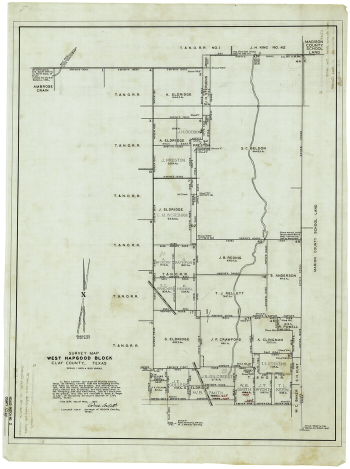

Print $20.00
- Digital $50.00
Clay County Rolled Sketch 2
1940
Size 35.9 x 26.8 inches
Map/Doc 5485
Midland County Working Sketch 23


Print $40.00
- Digital $50.00
Midland County Working Sketch 23
1956
Size 45.0 x 75.6 inches
Map/Doc 71004
Map of Menard County
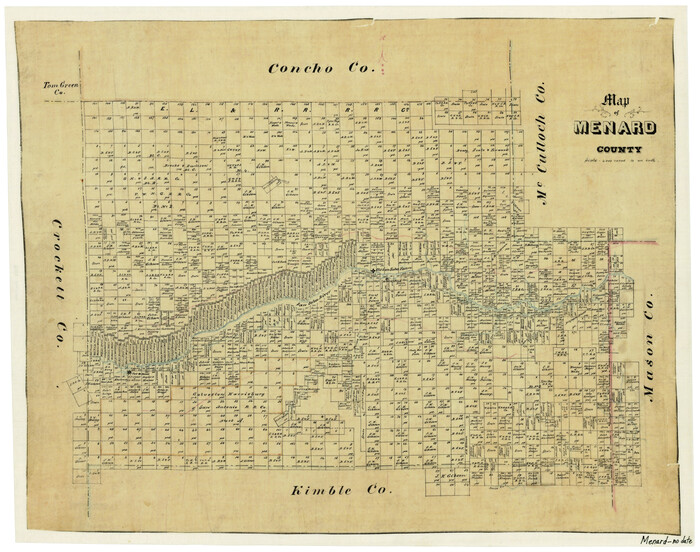

Print $20.00
- Digital $50.00
Map of Menard County
1871
Size 18.5 x 23.3 inches
Map/Doc 3872
Jeff Davis County Working Sketch 44
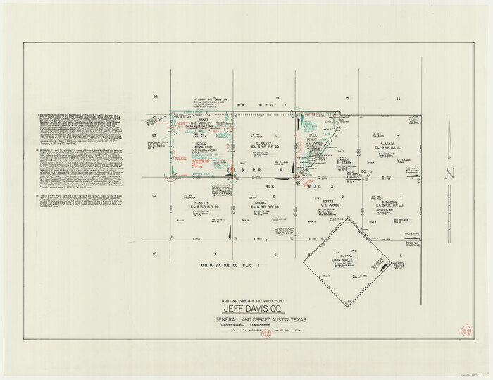

Print $20.00
- Digital $50.00
Jeff Davis County Working Sketch 44
1984
Size 28.8 x 37.4 inches
Map/Doc 66539
You may also like
McCulloch County
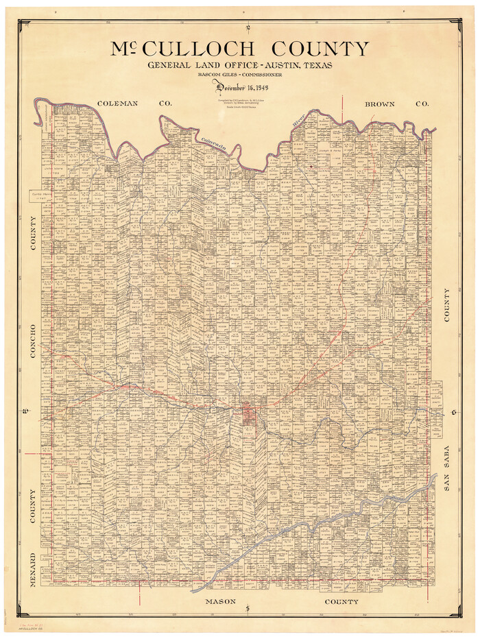

Print $20.00
- Digital $50.00
McCulloch County
1949
Size 47.0 x 35.8 inches
Map/Doc 73234
Limestone County Working Sketch 23


Print $20.00
- Digital $50.00
Limestone County Working Sketch 23
1980
Size 37.3 x 37.5 inches
Map/Doc 70573
Harris County Rolled Sketch 26


Print $20.00
- Digital $50.00
Harris County Rolled Sketch 26
Size 28.2 x 41.3 inches
Map/Doc 6094
Flight Mission No. DQO-8K, Frame 21, Galveston County


Print $20.00
- Digital $50.00
Flight Mission No. DQO-8K, Frame 21, Galveston County
1952
Size 18.6 x 22.3 inches
Map/Doc 85144
Maps of Gulf Intracoastal Waterway, Texas - Sabine River to the Rio Grande and connecting waterways including ship channels


Print $20.00
- Digital $50.00
Maps of Gulf Intracoastal Waterway, Texas - Sabine River to the Rio Grande and connecting waterways including ship channels
1966
Size 14.6 x 22.3 inches
Map/Doc 61954
Ft. W. & R. G. Ry. Right of Way Map, Chapin to Bluffdale, Hood County, Texas


Print $40.00
- Digital $50.00
Ft. W. & R. G. Ry. Right of Way Map, Chapin to Bluffdale, Hood County, Texas
1918
Size 36.5 x 50.5 inches
Map/Doc 64645
Galveston County Working Sketch 17


Print $20.00
- Digital $50.00
Galveston County Working Sketch 17
1982
Size 15.5 x 14.3 inches
Map/Doc 69354
Hopkins County Sketch File 21

Print $24.00
- Digital $50.00
Hopkins County Sketch File 21
1871
Size 8.1 x 12.5 inches
Map/Doc 26727
Tarrant County Sketch File 26
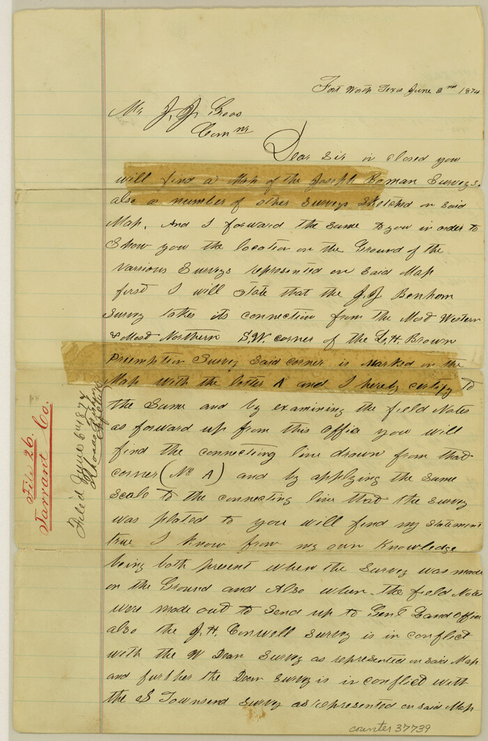

Print $24.00
- Digital $50.00
Tarrant County Sketch File 26
1874
Size 12.7 x 8.4 inches
Map/Doc 37739
Lubbock County Working Sketch 8
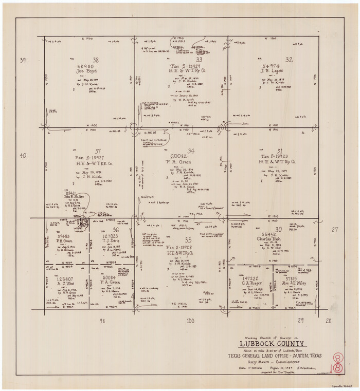

Print $20.00
- Digital $50.00
Lubbock County Working Sketch 8
1989
Size 27.4 x 25.2 inches
Map/Doc 70668
Webb County Sketch File 2


Print $20.00
- Digital $50.00
Webb County Sketch File 2
Size 20.0 x 18.2 inches
Map/Doc 12612
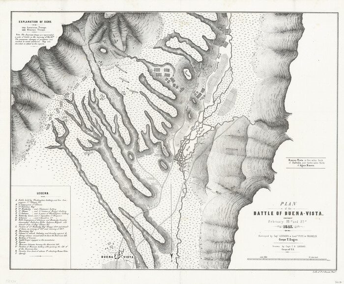
Plan of the Battle of Buena-Vista fought February 22nd and 23rd, 1847

Print $20.00
- Digital $50.00
Plan of the Battle of Buena-Vista fought February 22nd and 23rd, 1847
1847
Size 17.8 x 21.5 inches
Map/Doc 94112
![167, [Surveys in Austin's Colony on the east side of the Colorado River], General Map Collection](https://historictexasmaps.com/wmedia_w1800h1800/maps/167.tif.jpg)