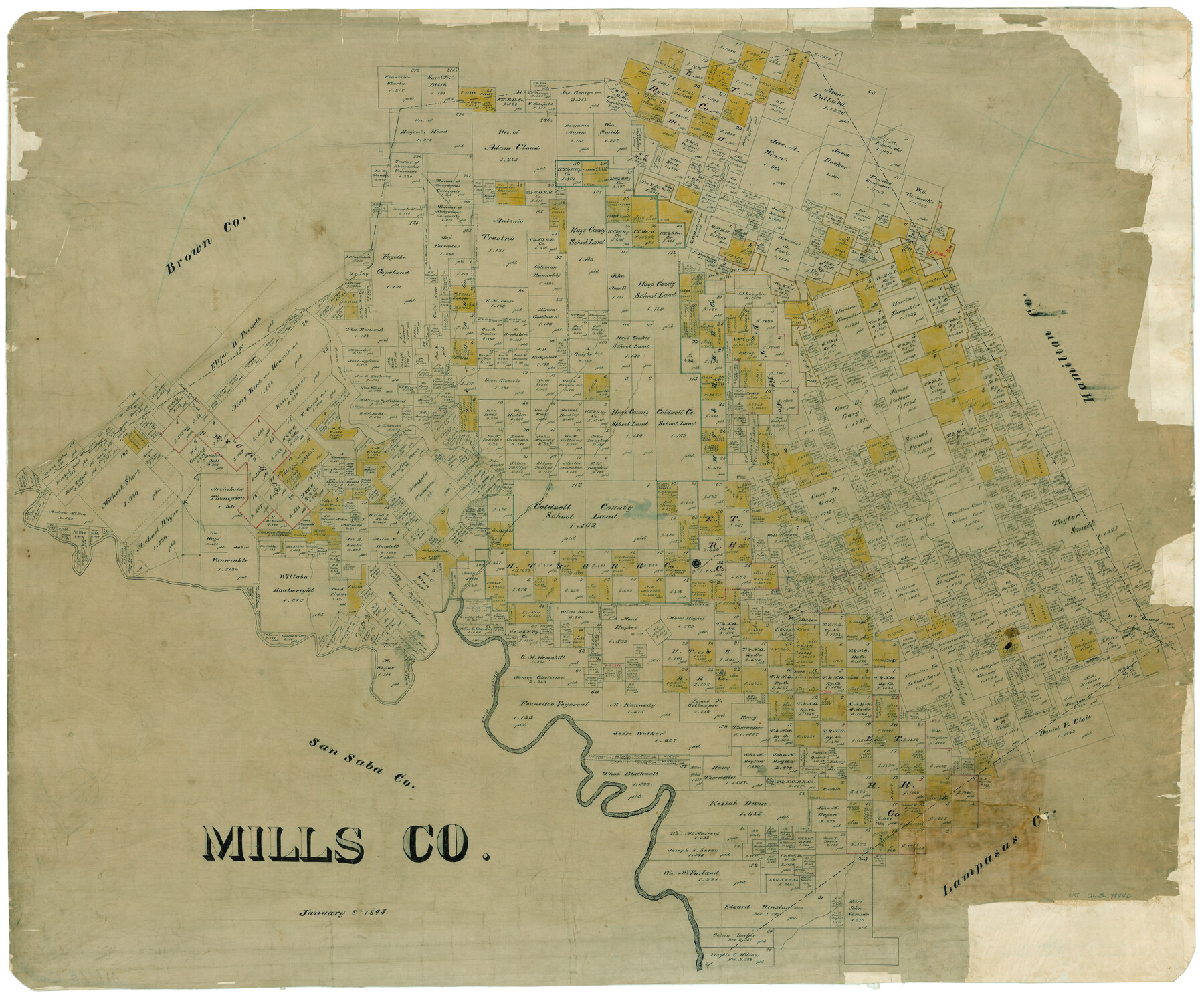
Mills Co.
-
Map/Doc
78440
-
Collection
General Map Collection
-
Object Dates
1/8/1895 (Creation Date)
-
People and Organizations
Texas General Land Office (Publisher)
-
Counties
Mills
-
Subjects
County
-
Height x Width
35.6 x 42.8 inches
90.4 x 108.7 cm
Part of: General Map Collection
Bowie County Sketch File 5

Print $4.00
- Digital $50.00
Bowie County Sketch File 5
Size 10.1 x 7.5 inches
Map/Doc 14837
Flight Mission No. DAG-21K, Frame 82, Matagorda County

Print $20.00
- Digital $50.00
Flight Mission No. DAG-21K, Frame 82, Matagorda County
1952
Size 18.5 x 22.3 inches
Map/Doc 86411

Flight Mission No. CZW-1R, Frame 114, Hardeman County

Print $20.00
- Digital $50.00
Flight Mission No. CZW-1R, Frame 114, Hardeman County
1956
Size 18.9 x 22.6 inches
Map/Doc 85234
Baylor County Sketch File A8

Print $4.00
- Digital $50.00
Baylor County Sketch File A8
1899
Size 14.1 x 8.7 inches
Map/Doc 14094
Newton County Working Sketch 25

Print $20.00
- Digital $50.00
Newton County Working Sketch 25
1953
Size 25.4 x 23.8 inches
Map/Doc 71271
Upton County Working Sketch 27

Print $20.00
- Digital $50.00
Upton County Working Sketch 27
1954
Size 24.2 x 33.9 inches
Map/Doc 69523
Flight Mission No. BRA-8M, Frame 83, Jefferson County

Print $20.00
- Digital $50.00
Flight Mission No. BRA-8M, Frame 83, Jefferson County
1953
Size 15.8 x 15.7 inches
Map/Doc 85603
Gaines County Sketch File 20

Print $12.00
- Digital $50.00
Gaines County Sketch File 20
1906
Size 7.1 x 8.9 inches
Map/Doc 23335
[Scurry County]
![63030, [Scurry County], General Map Collection](https://historictexasmaps.com/wmedia_w700/maps/63030.tif.jpg)
Print $20.00
- Digital $50.00
[Scurry County]
1901
Size 34.3 x 42.5 inches
Map/Doc 63030
Fannin County Sketch File 9

Print $20.00
- Digital $50.00
Fannin County Sketch File 9
Size 20.7 x 16.0 inches
Map/Doc 11470
Polk County Rolled Sketch 29

Print $86.00
- Digital $50.00
Polk County Rolled Sketch 29
1954
Size 9.3 x 14.9 inches
Map/Doc 48066
You may also like
[Block B, Sections 1-4]
![90984, [Block B, Sections 1-4], Twichell Survey Records](https://historictexasmaps.com/wmedia_w700/maps/90984-1.tif.jpg)
Print $20.00
- Digital $50.00
[Block B, Sections 1-4]
Size 21.8 x 20.5 inches
Map/Doc 90984
Brazoria County Sketch File 34

Print $4.00
- Digital $50.00
Brazoria County Sketch File 34
Size 14.3 x 8.9 inches
Map/Doc 15041
Texas Intracoastal Waterway - Laguna Madre - Dagger Hill to Potrero Grande

Print $20.00
- Digital $50.00
Texas Intracoastal Waterway - Laguna Madre - Dagger Hill to Potrero Grande
1956
Size 38.6 x 27.2 inches
Map/Doc 73509
Eastland County Working Sketch 53

Print $20.00
- Digital $50.00
Eastland County Working Sketch 53
1982
Size 22.9 x 27.4 inches
Map/Doc 68834
Lampasas County Working Sketch 12

Print $20.00
- Digital $50.00
Lampasas County Working Sketch 12
1969
Size 32.9 x 31.4 inches
Map/Doc 70289
Jones & Murphy's Map of the City of Dallas, Texas compiled from the records of Dallas Co., and latest surveys of the City Engineer

Print $20.00
- Digital $50.00
Jones & Murphy's Map of the City of Dallas, Texas compiled from the records of Dallas Co., and latest surveys of the City Engineer
1878
Size 22.0 x 29.9 inches
Map/Doc 97262

Motley County Sketch File 17 (S)

Print $6.00
- Digital $50.00
Motley County Sketch File 17 (S)
1901
Size 14.2 x 8.7 inches
Map/Doc 32189
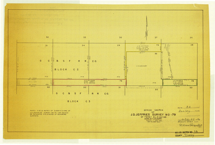
Donley County Rolled Sketch 3A
Print $20.00
- Digital $50.00
Donley County Rolled Sketch 3A
1946
Size 15.2 x 22.6 inches
Map/Doc 5730
N. F. Cleavinger

Print $3.00
- Digital $50.00
N. F. Cleavinger
Size 16.5 x 10.6 inches
Map/Doc 92406
Tyler County Working Sketch 22

Print $20.00
- Digital $50.00
Tyler County Working Sketch 22
1987
Size 42.0 x 35.5 inches
Map/Doc 69492
Duval County Sketch File 18

Print $40.00
- Digital $50.00
Duval County Sketch File 18
Size 12.7 x 15.8 inches
Map/Doc 21314