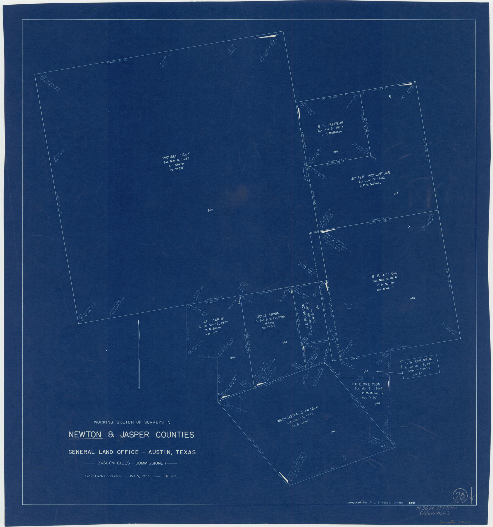
Newton County Working Sketch 25
-
Map/Doc
71271
-
Collection
General Map Collection
-
Object Dates
10/5/1953 (Creation Date)
-
People and Organizations
Herman H. Forbes (Draftsman)
-
Counties
Newton Jasper
-
Subjects
Surveying Working Sketch
-
Height x Width
25.4 x 23.8 inches
64.5 x 60.5 cm
-
Scale
1" = 300 varas
Part of: General Map Collection

Wilbarger County Sketch File A

Print $6.00
- Digital $50.00
Wilbarger County Sketch File A
Size 8.3 x 14.1 inches
Map/Doc 40231
Tom Green County Sketch File 46

Print $82.00
- Digital $50.00
Tom Green County Sketch File 46
1883
Size 28.4 x 28.6 inches
Map/Doc 10402
Andrews County Rolled Sketch 41

Print $20.00
- Digital $50.00
Andrews County Rolled Sketch 41
Size 18.0 x 24.0 inches
Map/Doc 77181
Panola County Rolled Sketch 1

Print $20.00
- Digital $50.00
Panola County Rolled Sketch 1
Size 17.5 x 23.9 inches
Map/Doc 7196

Angelina County Sketch File 15d

Print $20.00
- Digital $50.00
Angelina County Sketch File 15d
1863
Size 8.0 x 6.6 inches
Map/Doc 12980
Val Verde County Working Sketch 34

Print $20.00
- Digital $50.00
Val Verde County Working Sketch 34
1940
Size 33.7 x 27.9 inches
Map/Doc 72169

Flight Mission No. BQR-4K, Frame 64, Brazoria County

Print $20.00
- Digital $50.00
Flight Mission No. BQR-4K, Frame 64, Brazoria County
1952
Size 18.7 x 22.4 inches
Map/Doc 83997
Polk County Working Sketch 3

Print $40.00
- Digital $50.00
Polk County Working Sketch 3
1911
Size 25.4 x 56.0 inches
Map/Doc 71618
Boundary and Ownership map, Laguna Atascosa National Wildlife Refuge, Cameron and Willacy Counties, Texas

Print $40.00
- Digital $50.00
Boundary and Ownership map, Laguna Atascosa National Wildlife Refuge, Cameron and Willacy Counties, Texas
1968
Size 73.9 x 43.2 inches
Map/Doc 60395
You may also like
General Highway Map, Jasper County, Newton County, Texas

Print $20.00
General Highway Map, Jasper County, Newton County, Texas
1940
Size 18.6 x 25.0 inches
Map/Doc 79141
General Highway Map, Clay County, Texas

Print $20.00
General Highway Map, Clay County, Texas
1940
Size 25.2 x 18.6 inches
Map/Doc 79047
[Northwest Part of GLO Crockett County Map]
![91569, [Northwest Part of GLO Crockett County Map], Twichell Survey Records](https://historictexasmaps.com/wmedia_w700/maps/91569-1.tif.jpg)
Print $20.00
- Digital $50.00
[Northwest Part of GLO Crockett County Map]
Size 14.0 x 19.1 inches
Map/Doc 91569
Knox County Rolled Sketch 10

Print $40.00
- Digital $50.00
Knox County Rolled Sketch 10
Size 56.6 x 35.6 inches
Map/Doc 10718
La Salle County Sketch File 1

Print $5.00
- Digital $50.00
La Salle County Sketch File 1
1850
Size 14.2 x 9.2 inches
Map/Doc 29443

Colorado County Working Sketch 8

Print $20.00
- Digital $50.00
Colorado County Working Sketch 8
1937
Size 19.7 x 21.0 inches
Map/Doc 68108
Robertson County Working Sketch 12

Print $20.00
- Digital $50.00
Robertson County Working Sketch 12
1984
Size 20.6 x 22.4 inches
Map/Doc 63585
Dickens County Sketch File 34

Print $22.00
- Digital $50.00
Dickens County Sketch File 34
1938
Size 8.5 x 8.7 inches
Map/Doc 21030

Sutton County Working Sketch 33

Print $20.00
- Digital $50.00
Sutton County Working Sketch 33
1936
Size 23.3 x 32.2 inches
Map/Doc 62376
Texas-Oklahoma Clara Quadrangle

Print $20.00
- Digital $50.00
Texas-Oklahoma Clara Quadrangle
1937
Size 20.3 x 16.9 inches
Map/Doc 75105