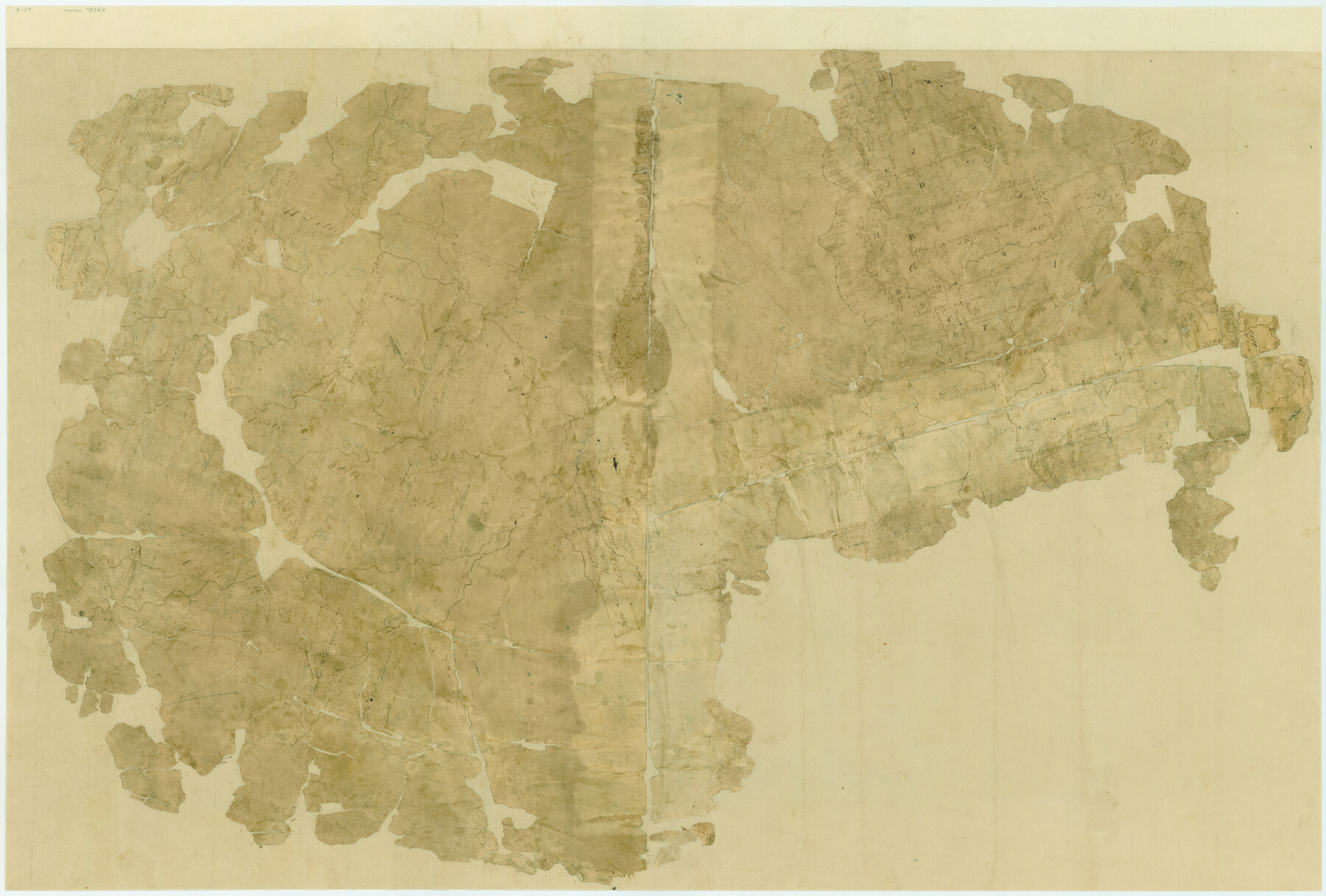
Atlas E, Sketch 29 (E-29)
E-29
-
Map/Doc
78363
-
Collection
General Map Collection
-
Subjects
Atlas
-
Height x Width
22.4 x 33.2 inches
56.9 x 84.3 cm
-
Medium
paper, manuscript
-
Comments
Conserved in 2003.
-
Features
Sandy Creek
San Gabriel River
Brushy Creek
Clay Creek
Part of: General Map Collection
Galveston County Rolled Sketch 46A

Print $20.00
- Digital $50.00
Galveston County Rolled Sketch 46A
2000
Size 24.9 x 37.6 inches
Map/Doc 5982
Travis County Working Sketch 12

Print $20.00
- Digital $50.00
Travis County Working Sketch 12
1920
Size 47.8 x 26.1 inches
Map/Doc 69396
Nolan County Working Sketch Graphic Index

Print $20.00
- Digital $50.00
Nolan County Working Sketch Graphic Index
1935
Size 41.6 x 36.9 inches
Map/Doc 76654
Hamilton County Sketch File 10 1/2

Print $44.00
- Digital $50.00
Hamilton County Sketch File 10 1/2
1876
Size 9.2 x 8.3 inches
Map/Doc 24931
Fisher County Boundary File 3a

Print $20.00
- Digital $50.00
Fisher County Boundary File 3a
Size 25.1 x 26.0 inches
Map/Doc 53444
Hale County Rolled Sketch 6

Print $20.00
- Digital $50.00
Hale County Rolled Sketch 6
1903
Size 35.0 x 28.9 inches
Map/Doc 6045
Stephens County Working Sketch 11

Print $20.00
- Digital $50.00
Stephens County Working Sketch 11
1921
Size 21.0 x 16.5 inches
Map/Doc 63954
Flight Mission No. DQN-1K, Frame 133, Calhoun County

Print $20.00
- Digital $50.00
Flight Mission No. DQN-1K, Frame 133, Calhoun County
1953
Size 18.6 x 22.4 inches
Map/Doc 84196
Archer County Sketch File 30

Print $40.00
- Digital $50.00
Archer County Sketch File 30
1896
Size 20.6 x 18.5 inches
Map/Doc 10838
Knox County Boundary File 1a

Print $16.00
- Digital $50.00
Knox County Boundary File 1a
Size 9.7 x 13.8 inches
Map/Doc 65010
Presidio County Working Sketch 78

Print $20.00
- Digital $50.00
Presidio County Working Sketch 78
1965
Size 24.8 x 25.1 inches
Map/Doc 71755
Hunt County Rolled Sketch 5

Print $20.00
- Digital $50.00
Hunt County Rolled Sketch 5
1956
Size 22.9 x 23.0 inches
Map/Doc 6271
You may also like
Map of Burleson County

Print $20.00
- Digital $50.00
Map of Burleson County
1856
Size 22.0 x 31.5 inches
Map/Doc 3345

Comanche County Working Sketch 22

Print $20.00
- Digital $50.00
Comanche County Working Sketch 22
1974
Size 23.7 x 23.1 inches
Map/Doc 68156
Gregg County Rolled Sketch 9

Print $20.00
- Digital $50.00
Gregg County Rolled Sketch 9
1933
Size 38.0 x 29.8 inches
Map/Doc 6034
Webb County Sketch File 18

Print $20.00
- Digital $50.00
Webb County Sketch File 18
1886
Size 19.9 x 17.7 inches
Map/Doc 12637
Map of Refugio

Print $20.00
- Digital $50.00
Map of Refugio
1851
Size 27.2 x 25.6 inches
Map/Doc 3989
Flight Mission No. DAG-23K, Frame 165, Matagorda County

Print $20.00
- Digital $50.00
Flight Mission No. DAG-23K, Frame 165, Matagorda County
1953
Size 17.0 x 19.0 inches
Map/Doc 86503
San Patricio County NRC Article 33.136 Sketch 8

Print $26.00
- Digital $50.00
San Patricio County NRC Article 33.136 Sketch 8
2018
Size 11.0 x 17.0 inches
Map/Doc 95341
Gulf Coast of the United States, Key West to Rio Grande

Print $20.00
- Digital $50.00
Gulf Coast of the United States, Key West to Rio Grande
1863
Size 27.5 x 18.2 inches
Map/Doc 72665
Starr County Sketch File 18

Print $20.00
- Digital $50.00
Starr County Sketch File 18
1880
Size 38.2 x 25.1 inches
Map/Doc 10606

Travis County State Real Property Sketch 6

Print $40.00
- Digital $50.00
Travis County State Real Property Sketch 6
1987
Size 30.2 x 41.4 inches
Map/Doc 61697