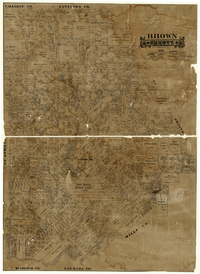
Stephens County Working Sketch 11
-
Map/Doc
63954
-
Collection
General Map Collection
-
Object Dates
7/20/1921 (Creation Date)
-
People and Organizations
J. Bascom Giles (Draftsman)
-
Counties
Stephens
-
Subjects
Surveying Working Sketch
-
Height x Width
21.0 x 16.5 inches
53.3 x 41.9 cm
-
Scale
1" = 500 varas
Part of: General Map Collection
Stonewall County Boundary File 1

Print $34.00
- Digital $50.00
Stonewall County Boundary File 1
Size 9.0 x 8.4 inches
Map/Doc 58938
A General Map of the Northern British Colonies in America which comprehends the Province of Quebec, the Government of Newfoundland, Nova-Scotia, New England and New York


Print $20.00
- Digital $50.00
A General Map of the Northern British Colonies in America which comprehends the Province of Quebec, the Government of Newfoundland, Nova-Scotia, New England and New York
1776
Size 21.3 x 27.3 inches
Map/Doc 97401
Blanco County Boundary File 6

Print $10.00
- Digital $50.00
Blanco County Boundary File 6
Size 8.5 x 9.6 inches
Map/Doc 50560
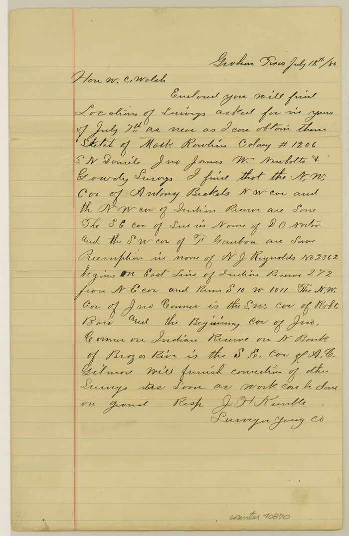
Young County Sketch File 10b

Print $4.00
- Digital $50.00
Young County Sketch File 10b
1880
Size 12.9 x 8.4 inches
Map/Doc 40870
Flight Mission No. CGI-3N, Frame 120, Cameron County


Print $20.00
- Digital $50.00
Flight Mission No. CGI-3N, Frame 120, Cameron County
1954
Size 18.8 x 22.3 inches
Map/Doc 84593
Glasscock County Sketch File 20


Print $40.00
- Digital $50.00
Glasscock County Sketch File 20
1935
Size 15.6 x 12.6 inches
Map/Doc 24196
Right of Way and Track Map, the Missouri, Kansas & Texas Ry. Of Texas operated by the Missouri, Kansas & Texas Ry. Of Texas, Houston Division


Print $40.00
- Digital $50.00
Right of Way and Track Map, the Missouri, Kansas & Texas Ry. Of Texas operated by the Missouri, Kansas & Texas Ry. Of Texas, Houston Division
1918
Size 26.0 x 62.1 inches
Map/Doc 64785
Presidio County Working Sketch 55


Print $20.00
- Digital $50.00
Presidio County Working Sketch 55
1955
Size 22.0 x 16.9 inches
Map/Doc 71732
Upshur County Sketch File 8


Print $22.00
- Digital $50.00
Upshur County Sketch File 8
1857
Size 20.4 x 8.2 inches
Map/Doc 38746
Map of Great Britain and Ireland engraved to illustrate Mitchell's school and family geography
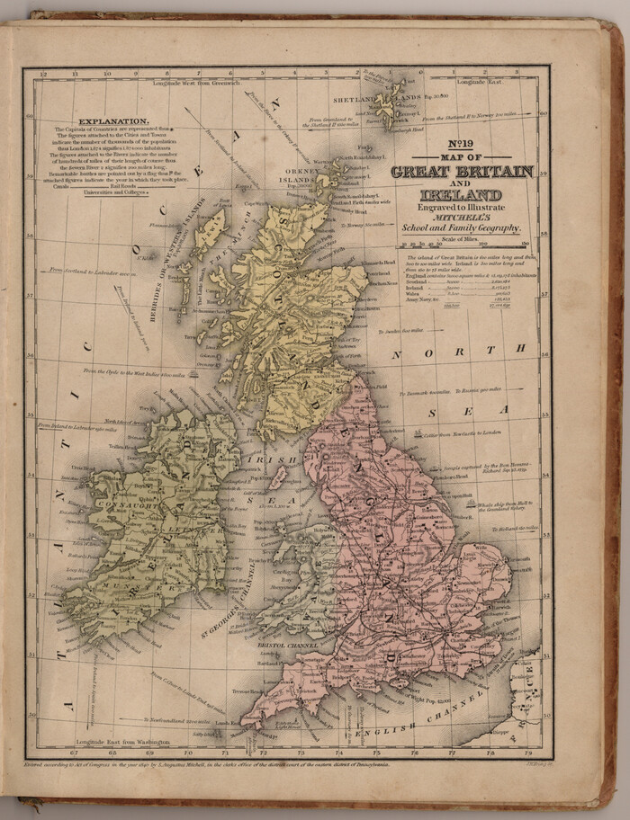

Print $20.00
- Digital $50.00
Map of Great Britain and Ireland engraved to illustrate Mitchell's school and family geography
1840
Size 11.8 x 9.5 inches
Map/Doc 93503
Colorado County Sketch File 35


Print $13.00
- Digital $50.00
Colorado County Sketch File 35
2005
Size 44.0 x 28.0 inches
Map/Doc 83564
Frio County Rolled Sketch 9
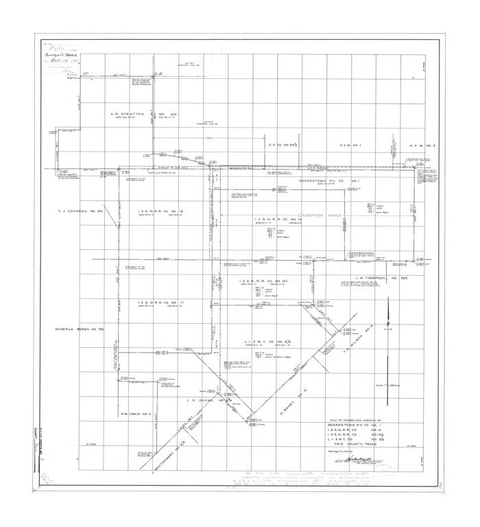

Print $20.00
- Digital $50.00
Frio County Rolled Sketch 9
1943
Size 35.7 x 32.5 inches
Map/Doc 5919
You may also like
Dimmit County Working Sketch 40


Print $40.00
- Digital $50.00
Dimmit County Working Sketch 40
1968
Size 42.9 x 59.0 inches
Map/Doc 68701
Grundriss von Neu-Orleans nach den manuscripten in dem schatze der karten der marine
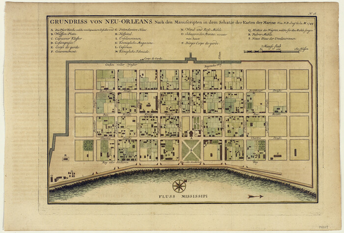

Print $20.00
- Digital $50.00
Grundriss von Neu-Orleans nach den manuscripten in dem schatze der karten der marine
1744
Size 9.6 x 14.1 inches
Map/Doc 94109
Hunt County Working Sketch 1


Print $20.00
- Digital $50.00
Hunt County Working Sketch 1
Size 18.2 x 17.2 inches
Map/Doc 66348
Throckmorton County
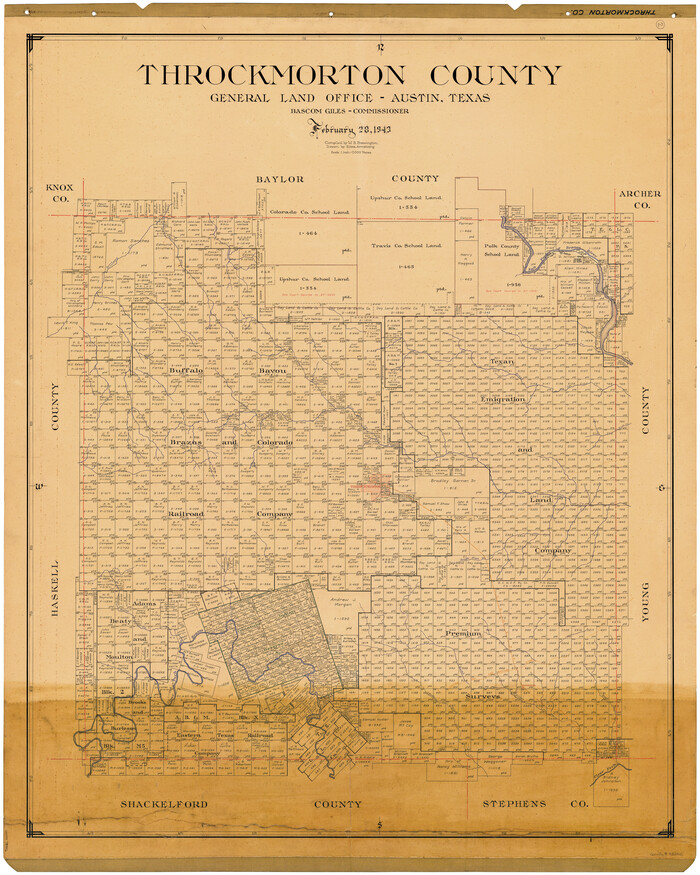

Print $20.00
- Digital $50.00
Throckmorton County
1943
Size 46.3 x 37.8 inches
Map/Doc 73302
Crane County Sketch File 9


Print $20.00
- Digital $50.00
Crane County Sketch File 9
1926
Size 21.7 x 34.1 inches
Map/Doc 11208
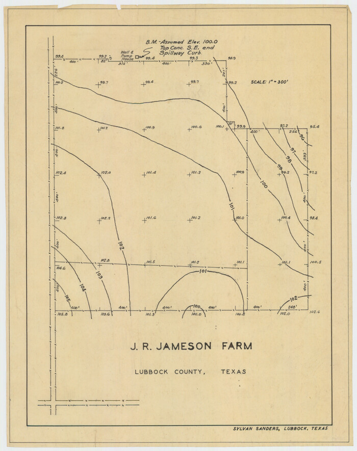
J. R. Jameson Farm

Print $3.00
- Digital $50.00
J. R. Jameson Farm
Size 10.8 x 13.5 inches
Map/Doc 92313
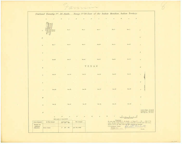
Fractional Township No. 10 South Range No. 10 East of the Indian Meridian, Indian Territory

Print $20.00
- Digital $50.00
Fractional Township No. 10 South Range No. 10 East of the Indian Meridian, Indian Territory
1898
Size 19.3 x 24.3 inches
Map/Doc 75218
Right-of-Way and Track Map, Houston and Brazos Valley Ry. Co. operated by the Houston and Brazos Valley Ry. Co.


Print $40.00
- Digital $50.00
Right-of-Way and Track Map, Houston and Brazos Valley Ry. Co. operated by the Houston and Brazos Valley Ry. Co.
1918
Size 24.9 x 56.4 inches
Map/Doc 64602
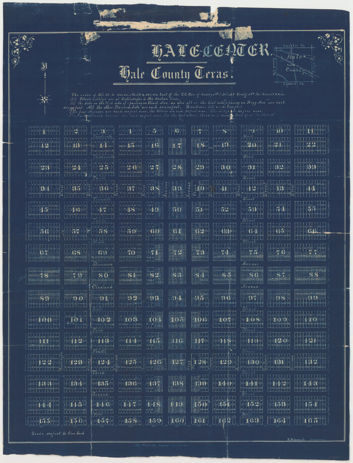
Hale County Sketch File 13

Print $20.00
- Digital $50.00
Hale County Sketch File 13
Size 36.5 x 23.0 inches
Map/Doc 10470
Shackelford County Sketch File 4


Print $40.00
- Digital $50.00
Shackelford County Sketch File 4
Size 38.5 x 53.7 inches
Map/Doc 10600
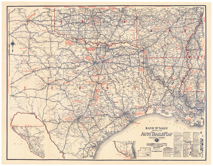
Rand, McNally Official 1922 Auto Trails Map, District Number 18

Print $20.00
- Digital $50.00
Rand, McNally Official 1922 Auto Trails Map, District Number 18
1922
Size 27.1 x 34.7 inches
Map/Doc 95887

