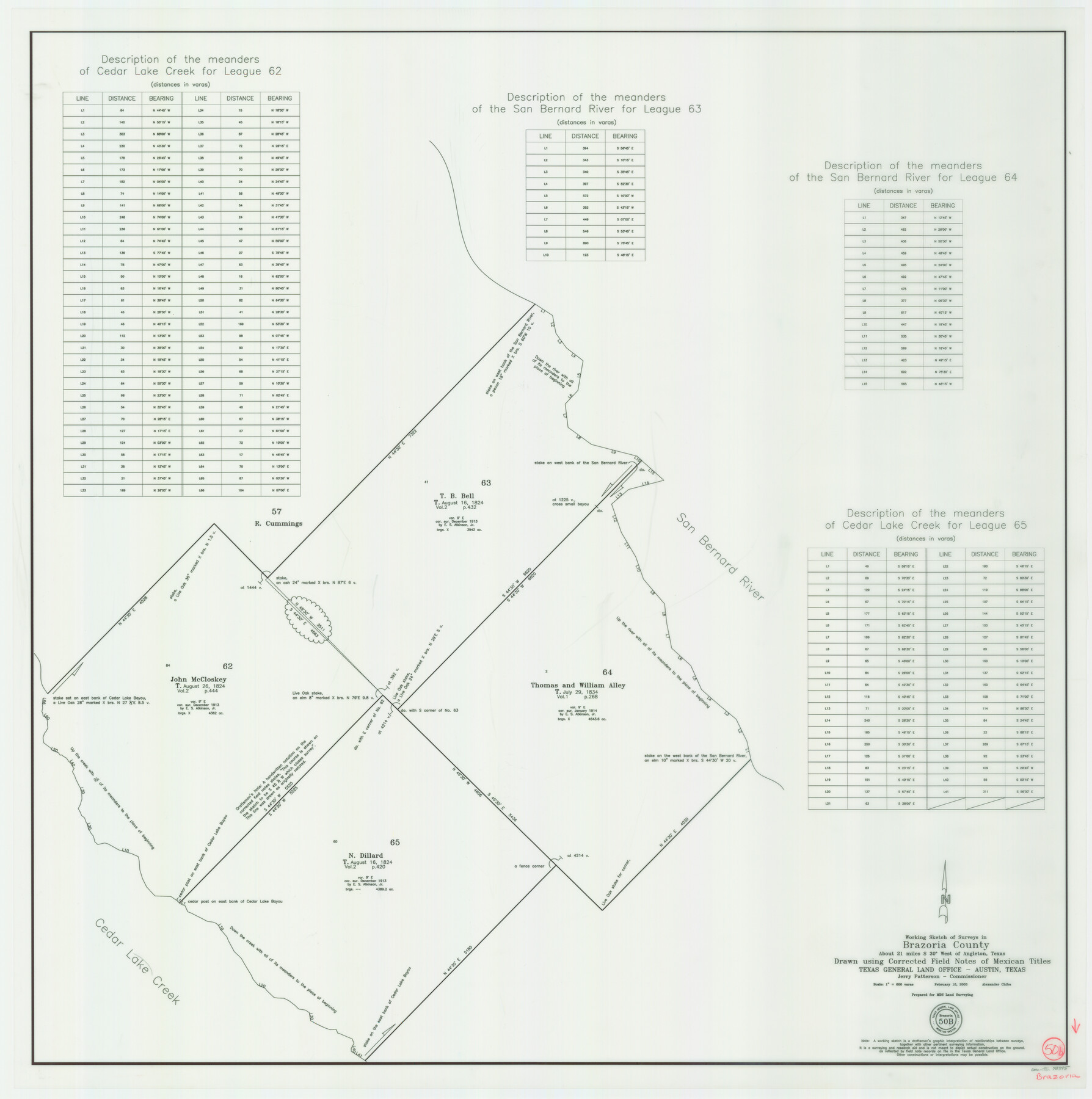
Brazoria County Working Sketch 50b
-
Map/Doc
78345
-
Collection
General Map Collection
-
Object Dates
2/18/2003 (Creation Date)
-
People and Organizations
Jerry E. Patterson (GLO Commissioner)
Alex Chiba (Draftsman)
-
Counties
Brazoria
-
Subjects
Surveying Working Sketch
-
Height x Width
34.8 x 34.6 inches
88.4 x 87.9 cm
-
Scale
1" = 600 varas
-
Comments
Surveys located about 21 miles South 30 degrees West of Angleton, Texas.
Part of: General Map Collection
Presidio County Rolled Sketch 104

Print $20.00
- Digital $50.00
Presidio County Rolled Sketch 104
1948
Size 26.1 x 40.0 inches
Map/Doc 7386
Oldham County Sketch File 3

Print $12.00
- Digital $50.00
Oldham County Sketch File 3
1883
Size 8.2 x 7.8 inches
Map/Doc 33228
Reagan County Sketch File 27

Print $8.00
- Digital $50.00
Reagan County Sketch File 27
1949
Size 11.4 x 8.7 inches
Map/Doc 35021
San Jacinto County Working Sketch 20

Print $20.00
- Digital $50.00
San Jacinto County Working Sketch 20
1939
Size 30.3 x 24.0 inches
Map/Doc 63733
Wharton County Rolled Sketch 9

Print $20.00
- Digital $50.00
Wharton County Rolled Sketch 9
1970
Size 30.1 x 41.3 inches
Map/Doc 8233
Glasscock County Sketch File 3

Print $3.00
- Digital $50.00
Glasscock County Sketch File 3
1931
Size 11.1 x 14.8 inches
Map/Doc 11560
Jefferson County Rolled Sketch 31

Print $425.00
- Digital $50.00
Jefferson County Rolled Sketch 31
1955
Size 10.1 x 15.3 inches
Map/Doc 46323
Map No. 1 - Rio Bravo del Norte section of boundary between the United States & Mexico agreed upon by the Joint Commission under the Treaty of Guadalupe Hidalgo

Print $20.00
- Digital $50.00
Map No. 1 - Rio Bravo del Norte section of boundary between the United States & Mexico agreed upon by the Joint Commission under the Treaty of Guadalupe Hidalgo
1852
Size 18.3 x 27.0 inches
Map/Doc 72863
Harris County Rolled Sketch 41

Print $20.00
- Digital $50.00
Harris County Rolled Sketch 41
1912
Size 21.0 x 34.1 inches
Map/Doc 6099
Cherokee County Sketch File 37

Print $40.00
- Digital $50.00
Cherokee County Sketch File 37
1978
Size 11.2 x 8.7 inches
Map/Doc 18225
Close-up: USA - The South Central States

Close-up: USA - The South Central States
1974
Size 23.2 x 35.2 inches
Map/Doc 96846
Hutchinson County Rolled Sketch 42

Print $40.00
- Digital $50.00
Hutchinson County Rolled Sketch 42
1993
Size 38.0 x 49.5 inches
Map/Doc 6310
You may also like
Bandera County Working Sketch 35

Print $20.00
- Digital $50.00
Bandera County Working Sketch 35
1965
Size 20.8 x 21.6 inches
Map/Doc 67631
Hood County Working Sketch 6

Print $40.00
- Digital $50.00
Hood County Working Sketch 6
1969
Size 39.4 x 48.0 inches
Map/Doc 66200
Burnet County Sketch File 7

Print $6.00
- Digital $50.00
Burnet County Sketch File 7
1854
Size 7.1 x 8.1 inches
Map/Doc 16686
Sherman County Sketch File 8

Print $61.00
- Digital $50.00
Sherman County Sketch File 8
1993
Size 11.4 x 8.9 inches
Map/Doc 36726
Milam District

Print $20.00
- Digital $50.00
Milam District
1854
Size 30.2 x 18.9 inches
Map/Doc 3859
Montgomery County Working Sketch 62

Print $20.00
- Digital $50.00
Montgomery County Working Sketch 62
1963
Size 18.1 x 21.3 inches
Map/Doc 71169
Zavala County Working Sketch 27

Print $20.00
- Digital $50.00
Zavala County Working Sketch 27
1990
Size 22.3 x 27.5 inches
Map/Doc 62102
Crockett County Rolled Sketch 5

Print $40.00
- Digital $50.00
Crockett County Rolled Sketch 5
Size 25.0 x 63.0 inches
Map/Doc 8689
Jim Wells Co.

Print $20.00
- Digital $50.00
Jim Wells Co.
1966
Size 43.8 x 32.4 inches
Map/Doc 95548
Upton County Sketch File 38

Print $8.00
- Digital $50.00
Upton County Sketch File 38
1953
Size 11.1 x 8.9 inches
Map/Doc 38903
Terrell County Sketch File 9

Print $12.00
- Digital $50.00
Terrell County Sketch File 9
Size 9.8 x 8.5 inches
Map/Doc 37904
Map of Starr County

Print $20.00
- Digital $50.00
Map of Starr County
1896
Size 43.7 x 26.9 inches
Map/Doc 4050