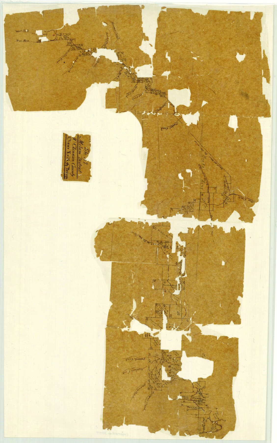
Milam District
-
Map/Doc
3859
-
Collection
General Map Collection
-
Object Dates
1854 (Creation Date)
-
Counties
McLennan
-
Subjects
District
-
Height x Width
30.2 x 18.9 inches
76.7 x 48.0 cm
Part of: General Map Collection
Presidio County Working Sketch 1

Print $20.00
- Digital $50.00
Presidio County Working Sketch 1
Size 37.4 x 20.4 inches
Map/Doc 71675
Val Verde County Sketch File 54

Print $6.00
- Digital $50.00
Val Verde County Sketch File 54
1940
Size 11.3 x 8.9 inches
Map/Doc 39334
Gaines County Rolled Sketch 15B

Print $40.00
- Digital $50.00
Gaines County Rolled Sketch 15B
Size 207.7 x 26.0 inches
Map/Doc 9037
Flight Mission No. BRA-16M, Frame 115, Jefferson County

Print $20.00
- Digital $50.00
Flight Mission No. BRA-16M, Frame 115, Jefferson County
1953
Size 18.5 x 22.2 inches
Map/Doc 85725
Map of Andrews County

Print $40.00
- Digital $50.00
Map of Andrews County
1900
Size 40.8 x 52.9 inches
Map/Doc 4780
San Patricio County Rolled Sketch 37

Print $127.00
- Digital $50.00
San Patricio County Rolled Sketch 37
Size 10.3 x 15.2 inches
Map/Doc 48888
Flight Mission No. DIX-6P, Frame 120, Aransas County

Print $20.00
- Digital $50.00
Flight Mission No. DIX-6P, Frame 120, Aransas County
1956
Size 18.7 x 22.2 inches
Map/Doc 83826
Young County Sketch File 16

Print $4.00
- Digital $50.00
Young County Sketch File 16
1896
Size 10.3 x 8.5 inches
Map/Doc 40880
Throckmorton County Sketch File 1

Print $4.00
- Digital $50.00
Throckmorton County Sketch File 1
1856
Size 8.0 x 12.9 inches
Map/Doc 38050
Borden County Boundary File 6

Print $28.00
- Digital $50.00
Borden County Boundary File 6
1908
Size 11.3 x 25.1 inches
Map/Doc 1717
Foard County Sketch File XX

Print $40.00
- Digital $50.00
Foard County Sketch File XX
1884
Size 14.0 x 16.4 inches
Map/Doc 22802
List of County School Lands

Print $20.00
- Digital $50.00
List of County School Lands
Size 17.7 x 23.2 inches
Map/Doc 65797
You may also like

Hays County Rolled Sketch 20

Print $20.00
- Digital $50.00
Hays County Rolled Sketch 20
Size 14.1 x 36.9 inches
Map/Doc 6176
Wortham & Williams' Subdivisions of the San Augustine County School Leagues situated in Lubbock Co., Texas

Print $40.00
- Digital $50.00
Wortham & Williams' Subdivisions of the San Augustine County School Leagues situated in Lubbock Co., Texas
1909
Size 38.7 x 52.1 inches
Map/Doc 89935
Maverick County Sketch File 3a

Print $34.00
- Digital $50.00
Maverick County Sketch File 3a
Size 10.0 x 8.0 inches
Map/Doc 31035
Jackson County

Print $20.00
- Digital $50.00
Jackson County
1896
Size 24.8 x 21.0 inches
Map/Doc 3710
Collingsworth County

Print $20.00
- Digital $50.00
Collingsworth County
1899
Size 42.7 x 39.7 inches
Map/Doc 4915
Calhoun County Working Sketch 2b

Print $20.00
- Digital $50.00
Calhoun County Working Sketch 2b
1913
Size 17.3 x 15.8 inches
Map/Doc 67818
Reagan County Working Sketch 3

Print $40.00
- Digital $50.00
Reagan County Working Sketch 3
1923
Size 42.6 x 54.3 inches
Map/Doc 71843
Amended and Corrected Map of Adrian and Adrian Heights Addition Situated in Oldham County, Texas on Sections 14, 15, 38, 39 and 16 Respectively

Print $20.00
- Digital $50.00
Amended and Corrected Map of Adrian and Adrian Heights Addition Situated in Oldham County, Texas on Sections 14, 15, 38, 39 and 16 Respectively
Size 31.5 x 43.5 inches
Map/Doc 89801
[T. & P. RR. Lands and Surrounding surveys]
![91131, [T. & P. RR. Lands and Surrounding surveys], Twichell Survey Records](https://historictexasmaps.com/wmedia_w700/maps/91131.tif.jpg)
Print $20.00
- Digital $50.00
[T. & P. RR. Lands and Surrounding surveys]
1900
Size 16.4 x 12.2 inches
Map/Doc 91131
Coleman County Working Sketch 17

Print $20.00
- Digital $50.00
Coleman County Working Sketch 17
1952
Size 24.8 x 29.2 inches
Map/Doc 68083
Walker County

Print $20.00
- Digital $50.00
Walker County
1944
Size 45.7 x 38.4 inches
Map/Doc 73314