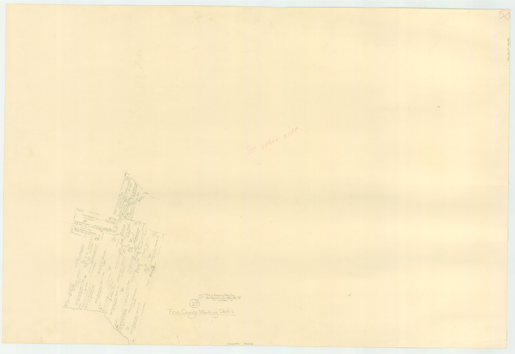
Frio County Working Sketch 27
-
Map/Doc
78193
-
Collection
General Map Collection
-
Counties
Frio
-
Subjects
Surveying Working Sketch
-
Height x Width
25.3 x 36.8 inches
64.3 x 93.5 cm
Part of: General Map Collection
Stonewall County

Print $40.00
- Digital $50.00
Stonewall County
1888
Size 56.1 x 55.2 inches
Map/Doc 89056
Foard County Working Sketch 3

Print $20.00
- Digital $50.00
Foard County Working Sketch 3
1933
Size 21.1 x 18.8 inches
Map/Doc 69193
Fractional Township No. 9 South Range No. 11 East of the Indian Meridian, Indian Territory

Print $20.00
- Digital $50.00
Fractional Township No. 9 South Range No. 11 East of the Indian Meridian, Indian Territory
1898
Size 19.3 x 24.4 inches
Map/Doc 75220
Kinney County Rolled Sketch 19

Print $20.00
- Digital $50.00
Kinney County Rolled Sketch 19
1978
Size 20.7 x 16.8 inches
Map/Doc 6546
Johnson County Working Sketch 4

Print $20.00
- Digital $50.00
Johnson County Working Sketch 4
1948
Size 26.5 x 24.6 inches
Map/Doc 66617
Milam County Boundary File 1

Print $8.00
- Digital $50.00
Milam County Boundary File 1
Size 12.7 x 8.2 inches
Map/Doc 57198
Brewster County Rolled Sketch 73

Print $20.00
- Digital $50.00
Brewster County Rolled Sketch 73
1938
Size 19.7 x 23.3 inches
Map/Doc 5239
Zapata County Rolled Sketch 22

Print $20.00
- Digital $50.00
Zapata County Rolled Sketch 22
1958
Size 29.2 x 21.5 inches
Map/Doc 8317
[Right of Way & Track Map, The Texas & Pacific Ry. Co. Main Line]
![64686, [Right of Way & Track Map, The Texas & Pacific Ry. Co. Main Line], General Map Collection](https://historictexasmaps.com/wmedia_w700/maps/64686.tif.jpg)
Print $20.00
- Digital $50.00
[Right of Way & Track Map, The Texas & Pacific Ry. Co. Main Line]
Size 11.0 x 19.0 inches
Map/Doc 64686
Knox County Boundary File 2

Print $40.00
- Digital $50.00
Knox County Boundary File 2
Size 31.1 x 34.1 inches
Map/Doc 65017
Galveston County NRC Article 33.136 Sketch 78

Print $24.00
- Digital $50.00
Galveston County NRC Article 33.136 Sketch 78
2015
Size 36.0 x 24.0 inches
Map/Doc 95129
Coryell County Rolled Sketch 3

Print $20.00
- Digital $50.00
Coryell County Rolled Sketch 3
1974
Size 24.6 x 36.4 inches
Map/Doc 5567
You may also like
Starr County Working Sketch 9

Print $20.00
- Digital $50.00
Starr County Working Sketch 9
1940
Size 41.5 x 21.4 inches
Map/Doc 63925
Flight Mission No. DQO-8K, Frame 89, Galveston County

Print $20.00
- Digital $50.00
Flight Mission No. DQO-8K, Frame 89, Galveston County
1952
Size 18.6 x 22.4 inches
Map/Doc 85191
Garza County Working Sketch 3

Print $20.00
- Digital $50.00
Garza County Working Sketch 3
1919
Size 13.8 x 14.0 inches
Map/Doc 63150
Burnet County Boundary File 12

Print $14.00
- Digital $50.00
Burnet County Boundary File 12
Size 8.2 x 6.0 inches
Map/Doc 50949
The M. K. and T., Missouri, Kansas & Texas Ry.

Print $20.00
- Digital $50.00
The M. K. and T., Missouri, Kansas & Texas Ry.
1911
Size 15.9 x 9.1 inches
Map/Doc 95809
Dimmit County Working Sketch 52

Print $20.00
- Digital $50.00
Dimmit County Working Sketch 52
1989
Size 25.2 x 37.0 inches
Map/Doc 68713
Fort Bend County Working Sketch 15

Print $20.00
- Digital $50.00
Fort Bend County Working Sketch 15
1950
Size 22.5 x 14.7 inches
Map/Doc 69221
Gaines County Rolled Sketch 29

Print $20.00
- Digital $50.00
Gaines County Rolled Sketch 29
1990
Size 14.7 x 20.5 inches
Map/Doc 5942
Presidio County Rolled Sketch 117

Print $20.00
- Digital $50.00
Presidio County Rolled Sketch 117
Size 29.1 x 28.8 inches
Map/Doc 7392
Seminole Cemetery, Gaines County, Texas

Print $20.00
- Digital $50.00
Seminole Cemetery, Gaines County, Texas
Size 29.2 x 31.7 inches
Map/Doc 92690
Flight Mission No. DAG-21K, Frame 101, Matagorda County

Print $20.00
- Digital $50.00
Flight Mission No. DAG-21K, Frame 101, Matagorda County
1952
Size 18.6 x 22.4 inches
Map/Doc 86430
Presidio County Sketch File 84 1/2

Print $38.00
- Digital $50.00
Presidio County Sketch File 84 1/2
1949
Size 9.0 x 14.5 inches
Map/Doc 34726