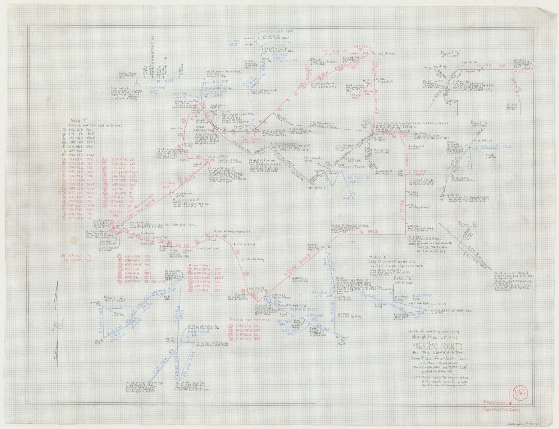
Presidio County Working Sketch 144
-
Map/Doc
71822
-
Collection
General Map Collection
-
Object Dates
10/17/1990 (Creation Date)
-
People and Organizations
Laurence C. Wall (Draftsman)
-
Counties
Presidio
-
Subjects
Surveying Working Sketch
-
Height x Width
20.4 x 26.6 inches
51.8 x 67.6 cm
-
Scale
1" = 600 varas
Part of: General Map Collection
Young County Sketch File 10

Print $20.00
- Digital $50.00
Young County Sketch File 10
Size 14.1 x 17.7 inches
Map/Doc 12711
Wheeler County Working Sketch 4

Print $40.00
- Digital $50.00
Wheeler County Working Sketch 4
1972
Size 58.9 x 47.1 inches
Map/Doc 72493
Map of Texas and the Country Adjacent: Compiled in the Bureau of the Corps of Topographical Engineers from the best Authorities

Print $20.00
- Digital $50.00
Map of Texas and the Country Adjacent: Compiled in the Bureau of the Corps of Topographical Engineers from the best Authorities
1844
Size 17.0 x 23.4 inches
Map/Doc 95747
Milam County Working Sketch 8

Print $20.00
- Digital $50.00
Milam County Working Sketch 8
1970
Size 27.1 x 30.7 inches
Map/Doc 71023
Flight Mission No. BRE-2P, Frame 138, Nueces County

Print $20.00
- Digital $50.00
Flight Mission No. BRE-2P, Frame 138, Nueces County
1956
Size 18.5 x 22.2 inches
Map/Doc 86811
Hopkins County Sketch File 16

Print $4.00
- Digital $50.00
Hopkins County Sketch File 16
1870
Size 8.1 x 10.1 inches
Map/Doc 26713
Wilson County Boundary File 9

Print $42.00
- Digital $50.00
Wilson County Boundary File 9
Size 14.3 x 8.9 inches
Map/Doc 60119
Hutchinson County Working Sketch 37

Print $20.00
- Digital $50.00
Hutchinson County Working Sketch 37
1978
Size 27.5 x 23.0 inches
Map/Doc 66397
Brewster County Sketch File NS-11

Print $4.00
- Digital $50.00
Brewster County Sketch File NS-11
1948
Size 14.2 x 8.7 inches
Map/Doc 16218
Reeves County Working Sketch 16

Print $40.00
- Digital $50.00
Reeves County Working Sketch 16
1961
Size 30.8 x 48.8 inches
Map/Doc 63459
Cochran County Rolled Sketch 2

Print $20.00
- Digital $50.00
Cochran County Rolled Sketch 2
1940
Size 27.7 x 33.9 inches
Map/Doc 5500
Gonzales County Sketch File 4

Print $4.00
- Digital $50.00
Gonzales County Sketch File 4
Size 12.6 x 8.0 inches
Map/Doc 24373
You may also like
Hardin County Sketch File 32a

Print $11.00
- Digital $50.00
Hardin County Sketch File 32a
Size 8.4 x 9.8 inches
Map/Doc 25167
Pecos County Rolled Sketch 126

Print $20.00
- Digital $50.00
Pecos County Rolled Sketch 126
1948
Size 42.5 x 38.4 inches
Map/Doc 9724
Brown County Working Sketch 2

Print $20.00
- Digital $50.00
Brown County Working Sketch 2
1919
Size 17.0 x 17.5 inches
Map/Doc 67767
Cottle County Rolled Sketch E

Print $20.00
- Digital $50.00
Cottle County Rolled Sketch E
1917
Size 29.9 x 28.7 inches
Map/Doc 8674
Jefferson County Rolled Sketch 56

Print $20.00
- Digital $50.00
Jefferson County Rolled Sketch 56
1953
Size 32.1 x 43.8 inches
Map/Doc 6406
San Jacinto River, Houston Ship Channel

Print $2.00
- Digital $50.00
San Jacinto River, Houston Ship Channel
1939
Size 11.7 x 17.7 inches
Map/Doc 65150
No. 1. Outline Map of the Rio Grande from its mouth up to Ringold Barracks

Print $20.00
- Digital $50.00
No. 1. Outline Map of the Rio Grande from its mouth up to Ringold Barracks
Size 24.8 x 18.3 inches
Map/Doc 72857
Map of Cherokee County

Print $40.00
- Digital $50.00
Map of Cherokee County
1933
Size 59.9 x 41.5 inches
Map/Doc 1799
Crosby County Sketch File A

Print $6.00
- Digital $50.00
Crosby County Sketch File A
Size 15.2 x 11.7 inches
Map/Doc 19989
Armstrong County Sketch File A-1

Print $40.00
- Digital $50.00
Armstrong County Sketch File A-1
Size 28.1 x 34.3 inches
Map/Doc 10842
Taylor County Working Sketch 14

Print $20.00
- Digital $50.00
Taylor County Working Sketch 14
1959
Size 26.8 x 21.4 inches
Map/Doc 69624
Map of the County of Calhoun

Print $20.00
- Digital $50.00
Map of the County of Calhoun
1852
Size 21.0 x 20.4 inches
Map/Doc 4431