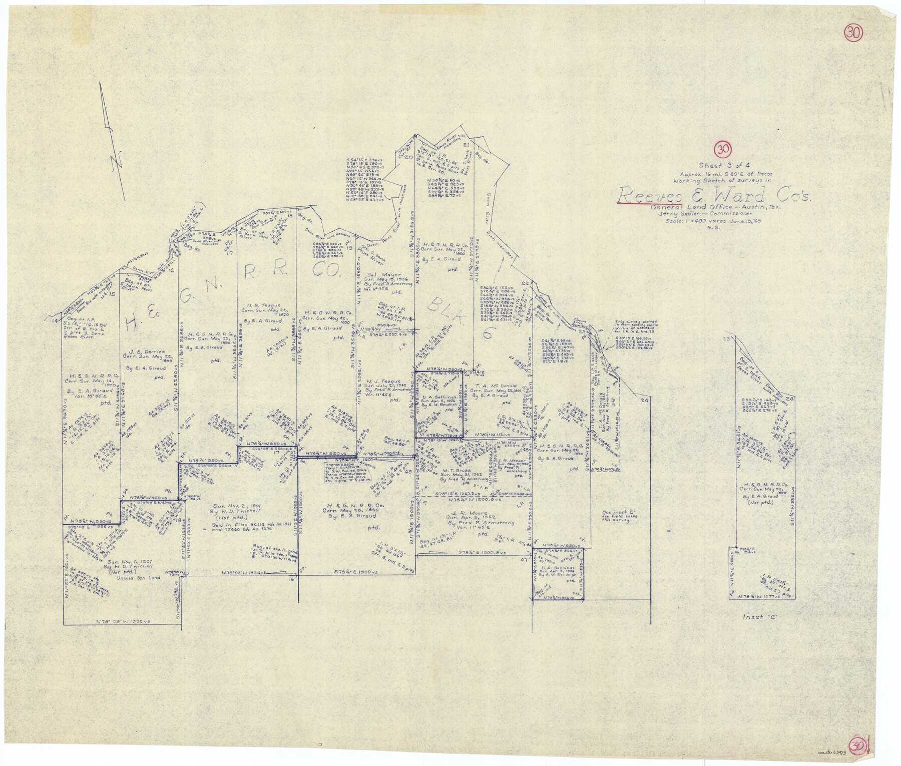
Reeves County Working Sketch 30
-
Map/Doc
63473
-
Collection
General Map Collection
-
Object Dates
6/19/1969 (Creation Date)
-
People and Organizations
Roy Buckholts (Draftsman)
-
Counties
Reeves Ward
-
Subjects
Surveying Working Sketch
-
Height x Width
31.1 x 36.5 inches
79.0 x 92.7 cm
-
Scale
1" = 400 varas
Part of: General Map Collection
Old Miscellaneous File 29

Print $4.00
- Digital $50.00
Old Miscellaneous File 29
1838
Size 7.4 x 12.5 inches
Map/Doc 75738
Flight Mission No. DCL-6C, Frame 5, Kenedy County

Print $20.00
- Digital $50.00
Flight Mission No. DCL-6C, Frame 5, Kenedy County
1943
Size 18.4 x 22.4 inches
Map/Doc 85865
Map of the United States and Mexico showing the Trans-Union and Tehuantepec route between Europe and Asia

Print $20.00
- Digital $50.00
Map of the United States and Mexico showing the Trans-Union and Tehuantepec route between Europe and Asia
1851
Size 20.3 x 23.7 inches
Map/Doc 94851
Flight Mission No. CGI-3N, Frame 143, Cameron County

Print $20.00
- Digital $50.00
Flight Mission No. CGI-3N, Frame 143, Cameron County
1954
Size 18.5 x 22.1 inches
Map/Doc 84616
Hamilton County Working Sketch 16

Print $40.00
- Digital $50.00
Hamilton County Working Sketch 16
1950
Size 48.0 x 40.6 inches
Map/Doc 63354
Hudspeth County Working Sketch 14

Print $20.00
- Digital $50.00
Hudspeth County Working Sketch 14
1953
Size 24.2 x 41.2 inches
Map/Doc 66296
Oldham County Sketch File 5

Print $4.00
- Digital $50.00
Oldham County Sketch File 5
Size 8.5 x 11.9 inches
Map/Doc 33234
Briscoe County Sketch File M

Print $40.00
- Digital $50.00
Briscoe County Sketch File M
Size 36.1 x 28.0 inches
Map/Doc 11010
Map from the Sabine River to the Rio Grande as subdivided for mineral development

Print $40.00
- Digital $50.00
Map from the Sabine River to the Rio Grande as subdivided for mineral development
Size 43.5 x 72.5 inches
Map/Doc 65802
DeWitt County Sketch File 5

Print $4.00
- Digital $50.00
DeWitt County Sketch File 5
1872
Size 13.0 x 8.3 inches
Map/Doc 20803
Map of section no. 4 of a survey of Padre Island made for the Office of the Attorney General of the State of Texas

Print $40.00
- Digital $50.00
Map of section no. 4 of a survey of Padre Island made for the Office of the Attorney General of the State of Texas
1941
Size 82.6 x 40.8 inches
Map/Doc 2260
Reeves County Sketch File 5

Print $20.00
- Digital $50.00
Reeves County Sketch File 5
Size 16.1 x 33.4 inches
Map/Doc 12241
You may also like
Jones County Boundary File 1b

Print $40.00
- Digital $50.00
Jones County Boundary File 1b
1882
Size 37.5 x 12.6 inches
Map/Doc 44359
Flight Mission No. DAG-2T, Frame 101, Matagorda County

Print $20.00
- Digital $50.00
Flight Mission No. DAG-2T, Frame 101, Matagorda County
1957
Size 18.6 x 18.3 inches
Map/Doc 86444

Flight Mission No. BQR-3K, Frame 83, Brazoria County

Print $20.00
- Digital $50.00
Flight Mission No. BQR-3K, Frame 83, Brazoria County
1952
Size 18.7 x 22.4 inches
Map/Doc 83975
Texas Coast, No. 17

Print $20.00
- Digital $50.00
Texas Coast, No. 17
Size 18.3 x 27.6 inches
Map/Doc 72712
Map of Chicago, Rock Island & Texas Railway through Wise and Tarrant County, Texas

Print $20.00
- Digital $50.00
Map of Chicago, Rock Island & Texas Railway through Wise and Tarrant County, Texas
1893
Size 19.6 x 43.7 inches
Map/Doc 64429
McMullen County Sketch File 27

Print $4.00
- Digital $50.00
McMullen County Sketch File 27
Size 6.2 x 8.0 inches
Map/Doc 31388
Panola County Sketch File 12

Print $2.00
- Digital $50.00
Panola County Sketch File 12
Size 7.4 x 5.6 inches
Map/Doc 33469
Loving County Sketch File 8

Print $44.00
- Digital $50.00
Loving County Sketch File 8
2002
Size 11.2 x 8.7 inches
Map/Doc 76377
Map of the County of Cameron, Texas

Print $40.00
- Digital $50.00
Map of the County of Cameron, Texas
1884
Size 54.7 x 34.5 inches
Map/Doc 3141
[Randall County]
![92970, [Randall County], Twichell Survey Records](https://historictexasmaps.com/wmedia_w700/maps/92970-1.tif.jpg)
Print $20.00
- Digital $50.00
[Randall County]
Size 14.7 x 12.0 inches
Map/Doc 92970
Armstrong County Sketch File 8

Print $8.00
- Digital $50.00
Armstrong County Sketch File 8
Size 14.2 x 8.8 inches
Map/Doc 13705