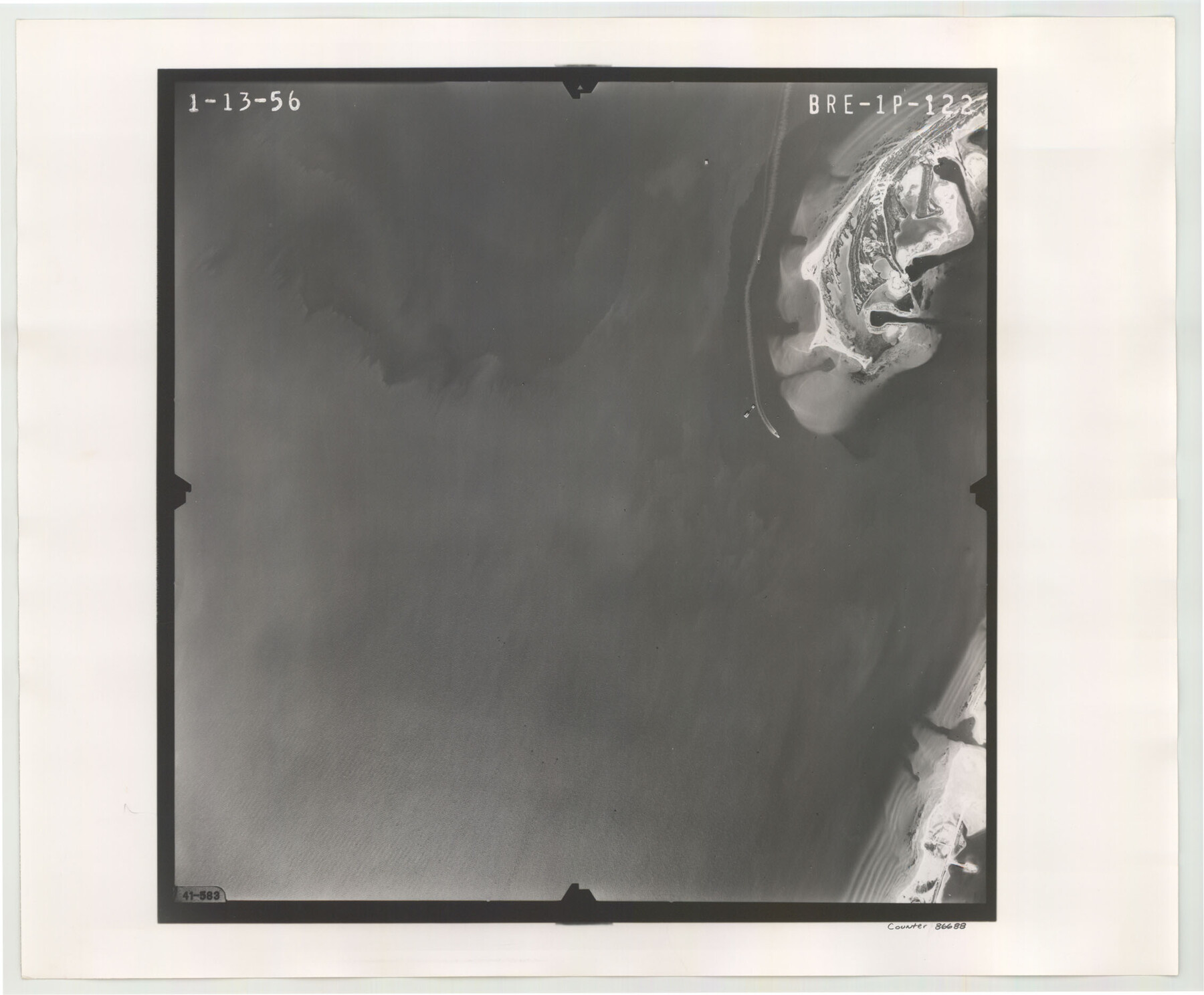
Flight Mission No. BRE-1P, Frame 122, Nueces County
BRE-1P-122
-
Map/Doc
86688
-
Collection
General Map Collection
-
Object Dates
1956/1/13 (Creation Date)
-
People and Organizations
U. S. Department of Agriculture (Publisher)
-
Counties
Nueces
-
Subjects
Aerial Photograph
-
Height x Width
18.7 x 22.7 inches
47.5 x 57.7 cm
-
Comments
Flown by V. L. Beavers and Associates of San Antonio, Texas.
Part of: General Map Collection
Ward County Working Sketch 54

Print $40.00
- Digital $50.00
Ward County Working Sketch 54
1978
Size 24.1 x 48.8 inches
Map/Doc 72360
El Paso County Boundary File 23

Print $9.00
- Digital $50.00
El Paso County Boundary File 23
Size 14.9 x 9.4 inches
Map/Doc 53218
Fractional Township No. 8 South Range No. 18 East of the Indian Meridian, Indian Territory

Print $20.00
- Digital $50.00
Fractional Township No. 8 South Range No. 18 East of the Indian Meridian, Indian Territory
1897
Size 19.2 x 24.3 inches
Map/Doc 75233
Current Miscellaneous File 8

Print $10.00
- Digital $50.00
Current Miscellaneous File 8
Size 14.6 x 9.1 inches
Map/Doc 73736
Map of Milam County

Print $40.00
- Digital $50.00
Map of Milam County
1839
Size 54.5 x 45.9 inches
Map/Doc 3881
McMullen County Sketch File 27

Print $4.00
- Digital $50.00
McMullen County Sketch File 27
Size 6.2 x 8.0 inches
Map/Doc 31388
Presidio County Working Sketch 44

Print $20.00
- Digital $50.00
Presidio County Working Sketch 44
1949
Size 29.8 x 20.6 inches
Map/Doc 71721
Map of Bastrop District

Print $20.00
- Digital $50.00
Map of Bastrop District
1847
Size 22.9 x 28.3 inches
Map/Doc 3275
Trinity County Sketch File 16

Print $4.00
- Digital $50.00
Trinity County Sketch File 16
1879
Size 8.2 x 11.1 inches
Map/Doc 38544
Andrews County Working Sketch 22

Print $40.00
- Digital $50.00
Andrews County Working Sketch 22
1979
Size 38.3 x 48.8 inches
Map/Doc 67068
Young County Sketch File 12

Print $4.00
- Digital $50.00
Young County Sketch File 12
1889
Size 8.5 x 13.6 inches
Map/Doc 40876
Shackelford County Working Sketch 6

Print $20.00
- Digital $50.00
Shackelford County Working Sketch 6
1963
Size 26.1 x 28.9 inches
Map/Doc 63846
You may also like
Edwards County Working Sketch 83

Print $20.00
- Digital $50.00
Edwards County Working Sketch 83
1965
Size 29.2 x 34.3 inches
Map/Doc 68959
McLennan County Sketch File 3

Print $4.00
- Digital $50.00
McLennan County Sketch File 3
1857
Size 11.1 x 8.1 inches
Map/Doc 31233
Webb County Rolled Sketch 61

Print $20.00
- Digital $50.00
Webb County Rolled Sketch 61
1947
Size 38.6 x 36.5 inches
Map/Doc 10128
Flight Mission No. BQY-4M, Frame 56, Harris County

Print $20.00
- Digital $50.00
Flight Mission No. BQY-4M, Frame 56, Harris County
1953
Size 18.6 x 22.4 inches
Map/Doc 85265
Crosby County, Texas

Print $20.00
- Digital $50.00
Crosby County, Texas
Size 17.6 x 19.8 inches
Map/Doc 90355

Coryell County Sketch File 7

Print $23.00
- Digital $50.00
Coryell County Sketch File 7
1859
Size 8.3 x 12.7 inches
Map/Doc 19349
Pecos County Rolled Sketch 155

Print $40.00
- Digital $50.00
Pecos County Rolled Sketch 155
Size 65.1 x 44.8 inches
Map/Doc 9737
Flight Mission No. BRA-8M, Frame 131, Jefferson County

Print $20.00
- Digital $50.00
Flight Mission No. BRA-8M, Frame 131, Jefferson County
1953
Size 15.9 x 16.0 inches
Map/Doc 85627
Flight Mission No. DAG-23K, Frame 166, Matagorda County

Print $20.00
- Digital $50.00
Flight Mission No. DAG-23K, Frame 166, Matagorda County
1953
Size 15.9 x 19.1 inches
Map/Doc 86504
Map of Val Verde County

Print $40.00
- Digital $50.00
Map of Val Verde County
1898
Size 81.6 x 30.7 inches
Map/Doc 82013
Falls County Sketch File 14

Print $40.00
- Digital $50.00
Falls County Sketch File 14
Size 15.9 x 12.9 inches
Map/Doc 22370