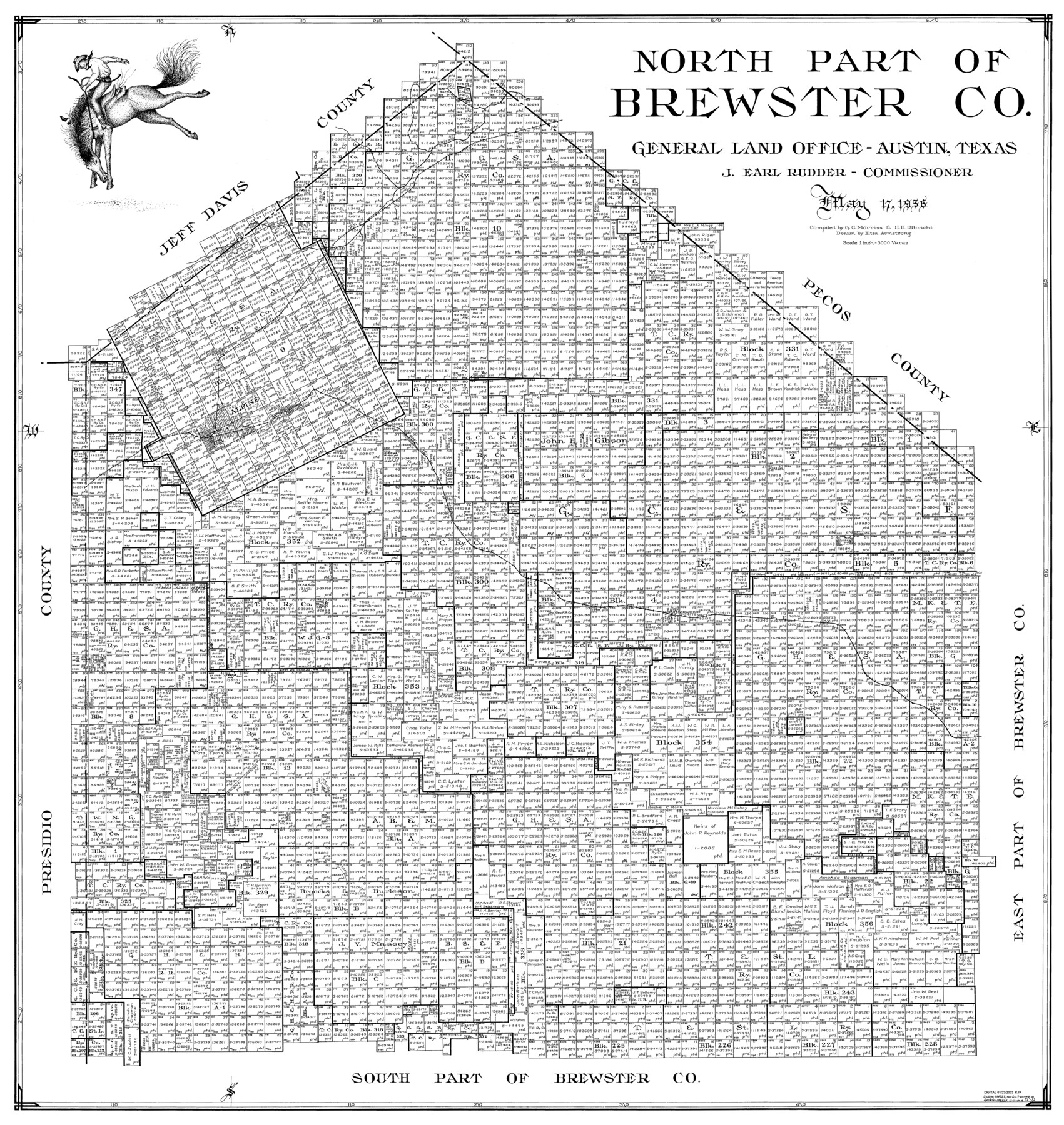
North Part of Brewster Co.
-
Map/Doc
77220
-
Collection
General Map Collection
-
Object Dates
1956/5/17 (Creation Date)
-
People and Organizations
Eltea Armstrong (Draftsman)
G.C. Morriss (Compiler)
Herbert H. Ulbricht (Compiler)
-
Counties
Brewster
-
Subjects
County
-
Height x Width
40.0 x 37.9 inches
101.6 x 96.3 cm
Part of: General Map Collection
Swisher County Sketch File 8

Print $20.00
- Digital $50.00
Swisher County Sketch File 8
1907
Size 19.2 x 16.3 inches
Map/Doc 12405
Panola County Working Sketch 34

Print $20.00
- Digital $50.00
Panola County Working Sketch 34
1983
Map/Doc 71443
Brewster County Rolled Sketch 114

Print $20.00
- Digital $50.00
Brewster County Rolled Sketch 114
1964
Size 11.7 x 17.9 inches
Map/Doc 5288
Hood County Working Sketch 28

Print $20.00
- Digital $50.00
Hood County Working Sketch 28
1995
Size 17.5 x 11.4 inches
Map/Doc 66222
Menard County Sketch File 9

Print $4.00
- Digital $50.00
Menard County Sketch File 9
Size 10.7 x 8.2 inches
Map/Doc 31494
Brewster County Rolled Sketch 79

Print $20.00
- Digital $50.00
Brewster County Rolled Sketch 79
Size 36.9 x 28.0 inches
Map/Doc 5244

Chambers County Sketch File 53

Print $12.00
- Digital $50.00
Chambers County Sketch File 53
1952
Size 14.3 x 8.9 inches
Map/Doc 18087
El Paso County Rolled Sketch 52

Print $20.00
- Digital $50.00
El Paso County Rolled Sketch 52
1929
Size 18.6 x 24.5 inches
Map/Doc 5846
Current Miscellaneous File 25

Print $24.00
- Digital $50.00
Current Miscellaneous File 25
1953
Size 10.6 x 8.2 inches
Map/Doc 73897
Liberty County Working Sketch 59

Print $40.00
- Digital $50.00
Liberty County Working Sketch 59
1968
Size 38.1 x 87.1 inches
Map/Doc 70519
[Surveys along Verde and Bandera Creeks]
![289, [Surveys along Verde and Bandera Creeks], General Map Collection](https://historictexasmaps.com/wmedia_w700/maps/289.tif.jpg)
Print $2.00
- Digital $50.00
[Surveys along Verde and Bandera Creeks]
1846
Size 10.0 x 8.0 inches
Map/Doc 289
You may also like
Cottle County Working Sketch 21

Print $20.00
- Digital $50.00
Cottle County Working Sketch 21
1982
Size 37.0 x 46.6 inches
Map/Doc 68331
Leon County Working Sketch Graphic Index

Print $20.00
- Digital $50.00
Leon County Working Sketch Graphic Index
1977
Size 46.8 x 41.5 inches
Map/Doc 76618
Pecos County Working Sketch 22

Print $20.00
- Digital $50.00
Pecos County Working Sketch 22
1926
Size 14.3 x 23.5 inches
Map/Doc 71492
San Augustine County Working Sketch 16

Print $20.00
- Digital $50.00
San Augustine County Working Sketch 16
1962
Size 22.2 x 25.0 inches
Map/Doc 63704
Ward County Working Sketch 23

Print $40.00
- Digital $50.00
Ward County Working Sketch 23
1953
Size 29.1 x 59.5 inches
Map/Doc 72329
Crockett County Working Sketch 92

Print $20.00
- Digital $50.00
Crockett County Working Sketch 92
1978
Size 39.5 x 41.2 inches
Map/Doc 68425
Map of Jefferson as owned by Allen Urquhart

Print $20.00
- Digital $50.00
Map of Jefferson as owned by Allen Urquhart
1850
Size 25.1 x 16.6 inches
Map/Doc 1684
Tom Green County Sketch File 5

Print $42.00
- Digital $50.00
Tom Green County Sketch File 5
1849
Size 8.5 x 7.1 inches
Map/Doc 38167
Crockett County Working Sketch 11

Print $40.00
- Digital $50.00
Crockett County Working Sketch 11
1913
Size 47.9 x 33.5 inches
Map/Doc 68344
Flight Mission No. DAG-18K, Frame 76, Matagorda County

Print $20.00
- Digital $50.00
Flight Mission No. DAG-18K, Frame 76, Matagorda County
1952
Size 17.5 x 22.1 inches
Map/Doc 86369
Hardin County Working Sketch 44

Print $40.00
- Digital $50.00
Hardin County Working Sketch 44
1954
Size 53.1 x 39.5 inches
Map/Doc 69764
General Highway Map, Upshur County, Gregg County, Texas

Print $20.00
General Highway Map, Upshur County, Gregg County, Texas
1939
Size 24.9 x 18.6 inches
Map/Doc 79105