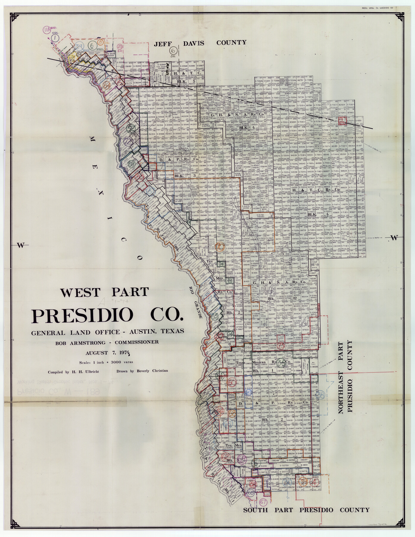
Presidio County Working Sketch Graphic Index, West Part, Sheet 1 (Sketches 1 to 74)
-
Map/Doc
76672
-
Collection
General Map Collection
-
Object Dates
8/7/1974 (Creation Date)
-
People and Organizations
Herbert H. Ulbricht (Compiler)
Beverly Christian (Draftsman)
-
Counties
Presidio
-
Subjects
County Surveying Working Sketch
-
Height x Width
40.3 x 31.4 inches
102.4 x 79.8 cm
-
Scale
1" = 3000 varas
Part of: General Map Collection
Comanche County Sketch File 18

Print $4.00
- Digital $50.00
Comanche County Sketch File 18
Size 8.4 x 7.8 inches
Map/Doc 19091
Val Verde Co.

Print $20.00
- Digital $50.00
Val Verde Co.
1908
Size 40.5 x 38.4 inches
Map/Doc 63099
El Paso County Boundary File 21

Print $6.00
- Digital $50.00
El Paso County Boundary File 21
Size 15.1 x 9.5 inches
Map/Doc 53214
Right of Way and Track Map Houston & Texas Central R.R. operated by the T. and N. O. R.R. Co., Fort Worth Branch

Print $40.00
- Digital $50.00
Right of Way and Track Map Houston & Texas Central R.R. operated by the T. and N. O. R.R. Co., Fort Worth Branch
1918
Size 31.4 x 58.5 inches
Map/Doc 64544
Flight Mission No. BRA-7M, Frame 178, Jefferson County

Print $20.00
- Digital $50.00
Flight Mission No. BRA-7M, Frame 178, Jefferson County
1953
Size 18.6 x 22.4 inches
Map/Doc 85546
Donley County Sketch File B12

Print $6.00
- Digital $50.00
Donley County Sketch File B12
1982
Size 9.1 x 14.6 inches
Map/Doc 21276
Baylor County Boundary File 8

Print $2.00
- Digital $50.00
Baylor County Boundary File 8
Size 11.2 x 8.6 inches
Map/Doc 50406
Kimble County Working Sketch 95

Print $20.00
- Digital $50.00
Kimble County Working Sketch 95
1994
Size 36.2 x 45.9 inches
Map/Doc 70163
Upton County Working Sketch 25

Print $20.00
- Digital $50.00
Upton County Working Sketch 25
1953
Size 38.2 x 31.2 inches
Map/Doc 69521
[Sketch for Mineral Application 12206 - Cow Bayou, O. B. Sawyer]
![65569, [Sketch for Mineral Application 12206 - Cow Bayou, O. B. Sawyer], General Map Collection](https://historictexasmaps.com/wmedia_w700/maps/65569.tif.jpg)
Print $40.00
- Digital $50.00
[Sketch for Mineral Application 12206 - Cow Bayou, O. B. Sawyer]
Size 63.3 x 36.5 inches
Map/Doc 65569
Archer County Boundary File 3

Print $54.00
- Digital $50.00
Archer County Boundary File 3
Size 9.3 x 7.3 inches
Map/Doc 50094
Walker County Working Sketch 10

Print $20.00
- Digital $50.00
Walker County Working Sketch 10
1935
Size 19.3 x 19.9 inches
Map/Doc 72290
You may also like
Milam County Sketch File 4

Print $4.00
- Digital $50.00
Milam County Sketch File 4
Size 7.6 x 8.2 inches
Map/Doc 31630

Limestone County Sketch File 10a

Print $22.00
- Digital $50.00
Limestone County Sketch File 10a
Size 12.5 x 15.8 inches
Map/Doc 30173
Flight Mission No. DQN-5K, Frame 144, Calhoun County

Print $20.00
- Digital $50.00
Flight Mission No. DQN-5K, Frame 144, Calhoun County
1953
Size 18.6 x 22.3 inches
Map/Doc 84419
[Map showing J. H. Gibson Blocks D and DD]
![92006, [Map showing J. H. Gibson Blocks D and DD], Twichell Survey Records](https://historictexasmaps.com/wmedia_w700/maps/92006-1.tif.jpg)
Print $20.00
- Digital $50.00
[Map showing J. H. Gibson Blocks D and DD]
Size 31.5 x 22.0 inches
Map/Doc 92006
[West Half of Hutchinson County South of the Canadian River]
![91179, [West Half of Hutchinson County South of the Canadian River], Twichell Survey Records](https://historictexasmaps.com/wmedia_w700/maps/91179-1.tif.jpg)
Print $20.00
- Digital $50.00
[West Half of Hutchinson County South of the Canadian River]
Size 18.4 x 17.0 inches
Map/Doc 91179
Presidio County Rolled Sketch 106

Print $20.00
- Digital $50.00
Presidio County Rolled Sketch 106
1955
Size 23.0 x 36.4 inches
Map/Doc 7387
Rusk County Working Sketch 38

Print $20.00
- Digital $50.00
Rusk County Working Sketch 38
2008
Size 16.3 x 23.3 inches
Map/Doc 88815
University of Texas System University Lands

Print $20.00
- Digital $50.00
University of Texas System University Lands
Size 17.7 x 23.2 inches
Map/Doc 93242
General Land Office and State Reclamation Department - An Index Map

Print $20.00
- Digital $50.00
General Land Office and State Reclamation Department - An Index Map
1930
Size 25.8 x 16.4 inches
Map/Doc 3027
Galveston County Rolled Sketch JK

Print $40.00
- Digital $50.00
Galveston County Rolled Sketch JK
1913
Size 25.4 x 56.5 inches
Map/Doc 9092
Crane County Rolled Sketch 26

Print $20.00
- Digital $50.00
Crane County Rolled Sketch 26
2020
Size 36.5 x 24.5 inches
Map/Doc 96432