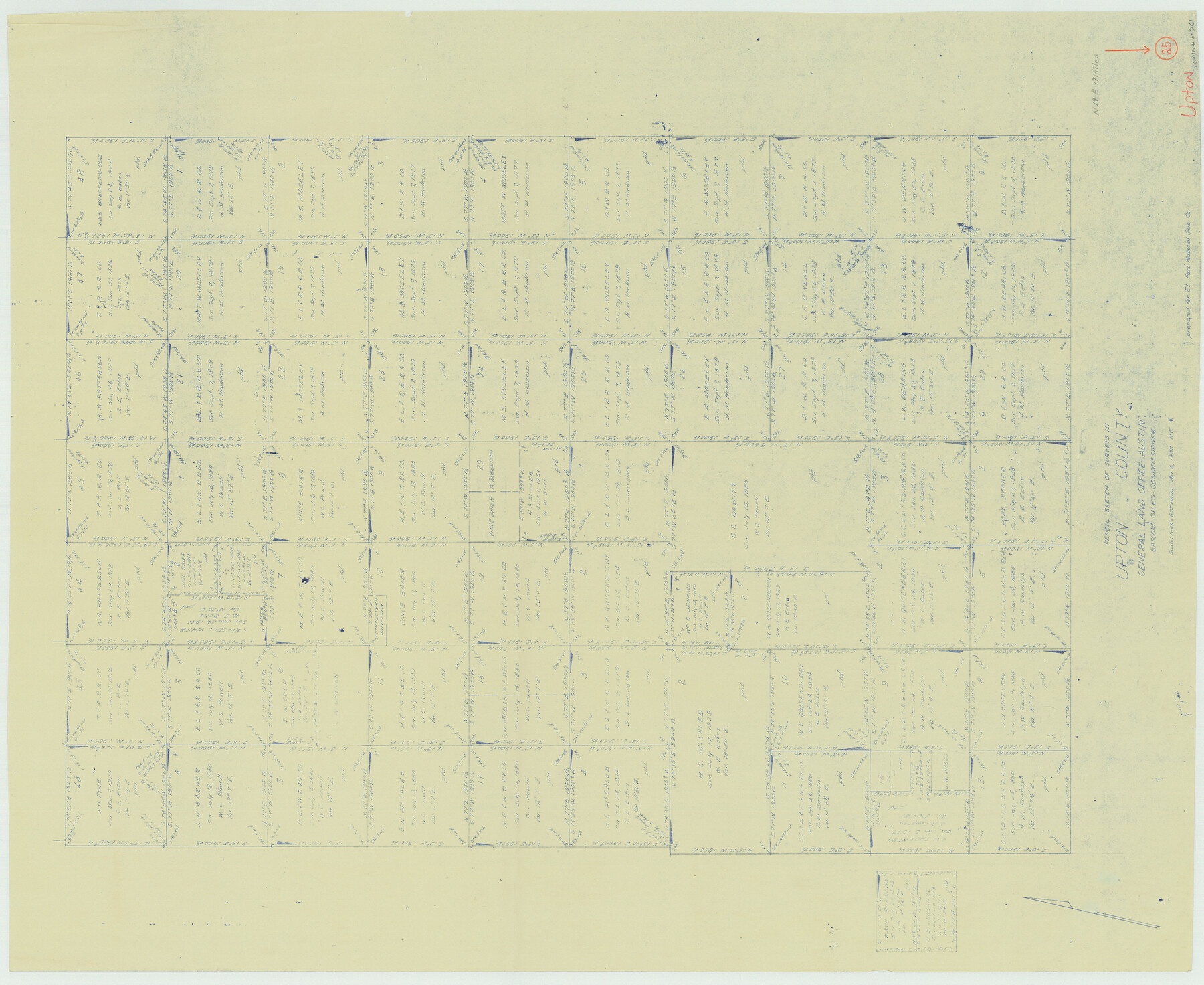
Upton County Working Sketch 25
-
Map/Doc
69521
-
Collection
General Map Collection
-
Object Dates
4/6/1953 (Creation Date)
-
People and Organizations
Herman Forbes (Draftsman)
-
Counties
Upton
-
Subjects
Surveying Working Sketch
-
Height x Width
38.2 x 31.2 inches
97.0 x 79.3 cm
-
Scale
1" = 600 varas
Part of: General Map Collection
Van Zandt County Rolled Sketch 6

Print $3.00
- Digital $50.00
Van Zandt County Rolled Sketch 6
1946
Size 9.3 x 11.3 inches
Map/Doc 10311
DeWitt County Sketch File 13

Print $8.00
- Digital $50.00
DeWitt County Sketch File 13
1845
Size 12.8 x 8.2 inches
Map/Doc 20824
Brewster County Sketch File N-19

Print $40.00
- Digital $50.00
Brewster County Sketch File N-19
1946
Size 18.7 x 26.2 inches
Map/Doc 10966
Flight Mission No. BQR-4K, Frame 59, Brazoria County

Print $20.00
- Digital $50.00
Flight Mission No. BQR-4K, Frame 59, Brazoria County
1952
Size 18.7 x 22.4 inches
Map/Doc 83992
Flight Mission No. CUG-1P, Frame 46, Kleberg County

Print $20.00
- Digital $50.00
Flight Mission No. CUG-1P, Frame 46, Kleberg County
1956
Size 18.6 x 22.2 inches
Map/Doc 86124
[Map of Located Land of Gulf, Colorado & Santa Fe Ry. Co. through Denton]
![64340, [Map of Located Land of Gulf, Colorado & Santa Fe Ry. Co. through Denton], General Map Collection](https://historictexasmaps.com/wmedia_w700/maps/64340.tif.jpg)
Print $40.00
- Digital $50.00
[Map of Located Land of Gulf, Colorado & Santa Fe Ry. Co. through Denton]
Size 122.8 x 28.3 inches
Map/Doc 64340
El Paso County Working Sketch 18

Print $40.00
- Digital $50.00
El Paso County Working Sketch 18
1960
Size 74.4 x 16.1 inches
Map/Doc 69040
Duval County Working Sketch 25

Print $20.00
- Digital $50.00
Duval County Working Sketch 25
1946
Size 23.7 x 20.1 inches
Map/Doc 68749
Refugio County Boundary File 2a

Print $8.00
- Digital $50.00
Refugio County Boundary File 2a
Size 14.5 x 9.1 inches
Map/Doc 58240
Tom Green County Sketch File 63A

Print $20.00
- Digital $50.00
Tom Green County Sketch File 63A
1891
Size 24.9 x 34.5 inches
Map/Doc 12446
Dimmit County Working Sketch 16

Print $20.00
- Digital $50.00
Dimmit County Working Sketch 16
1943
Size 25.6 x 24.8 inches
Map/Doc 68677
Flight Mission No. CLL-1N, Frame 21, Willacy County

Print $20.00
- Digital $50.00
Flight Mission No. CLL-1N, Frame 21, Willacy County
1954
Size 18.7 x 22.3 inches
Map/Doc 87008
You may also like
Henderson County Rolled Sketch 11

Print $20.00
- Digital $50.00
Henderson County Rolled Sketch 11
1915
Size 29.4 x 42.6 inches
Map/Doc 75955
Map of Texas. The Proposed Reoccupation of the Rio Grande -- Its Importance to the Union

Print $20.00
Map of Texas. The Proposed Reoccupation of the Rio Grande -- Its Importance to the Union
1863
Size 14.1 x 8.7 inches
Map/Doc 76263
Loving County State of Texas

Print $20.00
- Digital $50.00
Loving County State of Texas
1889
Size 20.5 x 24.5 inches
Map/Doc 4581

Foard County Sketch File 17

Print $12.00
- Digital $50.00
Foard County Sketch File 17
1882
Size 14.2 x 8.8 inches
Map/Doc 22828
Hamilton County Sketch File 2

Print $4.00
- Digital $50.00
Hamilton County Sketch File 2
1854
Size 12.2 x 7.9 inches
Map/Doc 24899
Capitol Lands Surveyed by J. T. Munson

Print $20.00
- Digital $50.00
Capitol Lands Surveyed by J. T. Munson
Size 15.5 x 16.7 inches
Map/Doc 90524
Coleman County Working Sketch 18

Print $20.00
- Digital $50.00
Coleman County Working Sketch 18
1952
Size 24.6 x 34.8 inches
Map/Doc 68084
Section J Tech Memorial Park, Inc. Infants Garden

Print $2.00
- Digital $50.00
Section J Tech Memorial Park, Inc. Infants Garden
1949
Size 8.8 x 13.0 inches
Map/Doc 92352
Travis County Appraisal District Plat Map 1_0100

Print $20.00
- Digital $50.00
Travis County Appraisal District Plat Map 1_0100
Size 21.6 x 26.4 inches
Map/Doc 94205
Galveston County Working Sketch 22

Print $20.00
- Digital $50.00
Galveston County Working Sketch 22
1988
Size 27.4 x 38.3 inches
Map/Doc 69359
Smith County Rolled Sketch 6E2

Print $20.00
- Digital $50.00
Smith County Rolled Sketch 6E2
1960
Size 27.6 x 22.7 inches
Map/Doc 10613