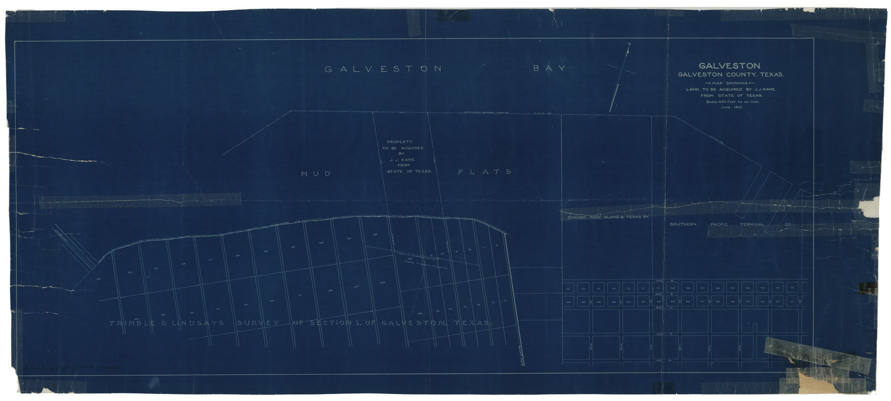
Galveston County Rolled Sketch JK
Map showing land to be acquired by J.J. Kane from State of Texas
-
Map/Doc
9092
-
Collection
General Map Collection
-
Object Dates
1913 (Creation Date)
-
Counties
Galveston
-
Subjects
Surveying Rolled Sketch
-
Height x Width
25.4 x 56.5 inches
64.5 x 143.5 cm
-
Medium
blueprint/diazo
-
Scale
1" = 400 feet
Part of: General Map Collection
Tarrant County Working Sketch 19

Print $20.00
- Digital $50.00
Tarrant County Working Sketch 19
1999
Size 11.8 x 18.1 inches
Map/Doc 62436
Camp County Working Sketch 2

Print $20.00
- Digital $50.00
Camp County Working Sketch 2
1975
Size 24.8 x 24.5 inches
Map/Doc 67878
Jefferson County Working Sketch 25

Print $20.00
- Digital $50.00
Jefferson County Working Sketch 25
1977
Size 39.8 x 43.4 inches
Map/Doc 66568
Spanish North America

Print $20.00
- Digital $50.00
Spanish North America
1814
Size 21.9 x 29.8 inches
Map/Doc 89224
Jasper County Working Sketch 21

Print $20.00
- Digital $50.00
Jasper County Working Sketch 21
1941
Size 13.1 x 21.4 inches
Map/Doc 66483
Flight Mission No. BQR-4K, Frame 70, Brazoria County

Print $20.00
- Digital $50.00
Flight Mission No. BQR-4K, Frame 70, Brazoria County
1952
Size 18.8 x 22.4 inches
Map/Doc 84003
Hemphill County Rolled Sketch 19

Print $20.00
- Digital $50.00
Hemphill County Rolled Sketch 19
Size 31.2 x 32.2 inches
Map/Doc 9158
Duval County Working Sketch 57

Print $20.00
- Digital $50.00
Duval County Working Sketch 57
1990
Size 30.3 x 25.4 inches
Map/Doc 68781
Map of the City of Austin Texas

Map of the City of Austin Texas
1933
Size 22.5 x 17.6 inches
Map/Doc 76050
Harris County Sketch File 104

Print $2.00
- Digital $50.00
Harris County Sketch File 104
1992
Size 11.2 x 8.9 inches
Map/Doc 25974
Wood County Sketch File 4

Print $4.00
- Digital $50.00
Wood County Sketch File 4
1855
Size 10.2 x 8.1 inches
Map/Doc 40635
Val Verde County Working Sketch 13

Print $20.00
- Digital $50.00
Val Verde County Working Sketch 13
1922
Size 24.8 x 25.3 inches
Map/Doc 72148
You may also like

Matagorda County Rolled Sketch 30

Print $20.00
- Digital $50.00
Matagorda County Rolled Sketch 30
1937
Size 24.9 x 35.0 inches
Map/Doc 6693
[Blocks S2, K3, K, and S1]
![90415, [Blocks S2, K3, K, and S1], Twichell Survey Records](https://historictexasmaps.com/wmedia_w700/maps/90415-1.tif.jpg)
Print $20.00
- Digital $50.00
[Blocks S2, K3, K, and S1]
1906
Size 17.9 x 16.4 inches
Map/Doc 90415
Working Sketch of Central State Prison Farm, Fort Bend Co., Texas

Print $20.00
- Digital $50.00
Working Sketch of Central State Prison Farm, Fort Bend Co., Texas
Size 38.9 x 16.0 inches
Map/Doc 62996
Crosby County Sketch File 10

Print $12.00
- Digital $50.00
Crosby County Sketch File 10
1887
Size 12.8 x 8.2 inches
Map/Doc 20011
Nueces County Aerial Photograph Index Sheet 1

Print $20.00
- Digital $50.00
Nueces County Aerial Photograph Index Sheet 1
1956
Size 23.4 x 19.6 inches
Map/Doc 83736
Duval County Sketch File 77

Print $20.00
- Digital $50.00
Duval County Sketch File 77
1967
Size 20.4 x 15.5 inches
Map/Doc 11411
Navigation Maps of Gulf Intracoastal Waterway, Port Arthur to Brownsville, Texas

Print $4.00
- Digital $50.00
Navigation Maps of Gulf Intracoastal Waterway, Port Arthur to Brownsville, Texas
1951
Size 16.7 x 21.5 inches
Map/Doc 65428
Sketch J No. 2 Showing the Progress of the Survey of San Francisco Bay and Vicinity Section X From 1850 to 1852

Print $20.00
- Digital $50.00
Sketch J No. 2 Showing the Progress of the Survey of San Francisco Bay and Vicinity Section X From 1850 to 1852
1852
Size 12.3 x 12.7 inches
Map/Doc 97229
Cooke County Sketch File 9a

Print $4.00
- Digital $50.00
Cooke County Sketch File 9a
Size 8.2 x 9.4 inches
Map/Doc 19240
Flight Mission No. BQR-9K, Frame 5, Brazoria County

Print $20.00
- Digital $50.00
Flight Mission No. BQR-9K, Frame 5, Brazoria County
1952
Size 18.7 x 22.3 inches
Map/Doc 84034
[Leagues 27, 28, 69, 70, 71, 72, and 73]
![91096, [Leagues 27, 28, 69, 70, 71, 72, and 73], Twichell Survey Records](https://historictexasmaps.com/wmedia_w700/maps/91096-1.tif.jpg)
Print $20.00
- Digital $50.00
[Leagues 27, 28, 69, 70, 71, 72, and 73]
Size 24.0 x 15.7 inches
Map/Doc 91096