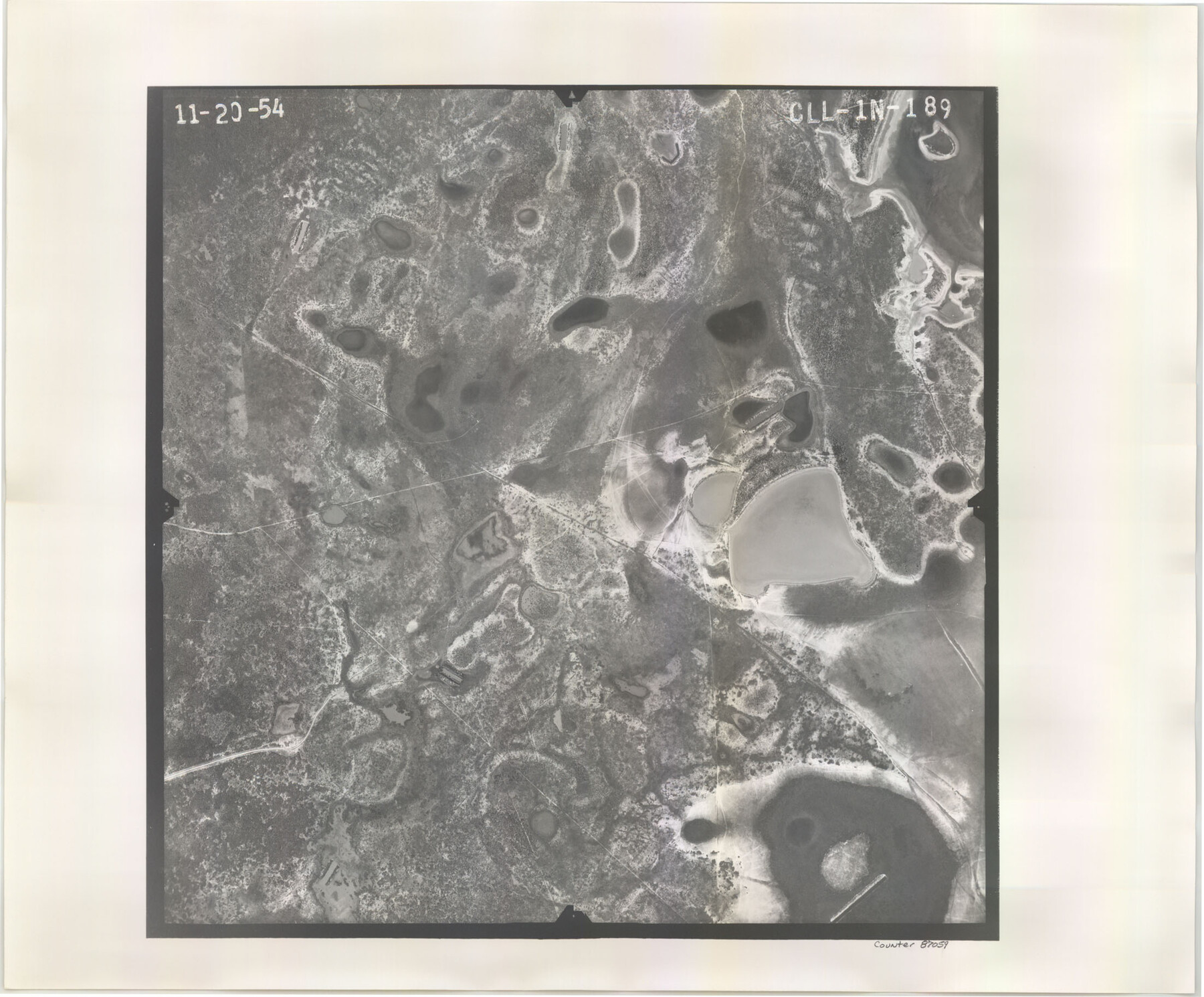
Flight Mission No. CLL-1N, Frame 189, Willacy County
CLL-1N-189
-
Map/Doc
87059
-
Collection
General Map Collection
-
Object Dates
1954/11/20 (Creation Date)
-
People and Organizations
U. S. Department of Agriculture (Publisher)
-
Counties
Willacy
-
Subjects
Aerial Photograph
-
Height x Width
18.2 x 22.0 inches
46.2 x 55.9 cm
-
Comments
Flown by Puckett Aerial Surveys, Inc. of Jackson, Mississippi.
Part of: General Map Collection
Maps & Lists Showing Prison Lands (Oil & Gas) Leased as of June 1955

Digital $50.00
Maps & Lists Showing Prison Lands (Oil & Gas) Leased as of June 1955
1934
Size 35.6 x 32.3 inches
Map/Doc 62879
Briscoe County Sketch File A

Print $40.00
- Digital $50.00
Briscoe County Sketch File A
1894
Size 17.3 x 21.1 inches
Map/Doc 10997

Map of Maverick County

Print $20.00
- Digital $50.00
Map of Maverick County
1875
Size 36.3 x 23.7 inches
Map/Doc 3849
Jeff Davis County Working Sketch 19

Print $40.00
- Digital $50.00
Jeff Davis County Working Sketch 19
1957
Size 71.3 x 34.1 inches
Map/Doc 66514
Montague County Rolled Sketch 4

Print $20.00
- Digital $50.00
Montague County Rolled Sketch 4
1940
Size 37.8 x 20.5 inches
Map/Doc 6788
Red River County Sketch File 6

Print $8.00
- Digital $50.00
Red River County Sketch File 6
1853
Size 10.4 x 6.9 inches
Map/Doc 35105
Flight Mission No. DIX-5P, Frame 149, Aransas County

Print $20.00
- Digital $50.00
Flight Mission No. DIX-5P, Frame 149, Aransas County
1956
Size 17.8 x 17.8 inches
Map/Doc 83811
Grayson County Working Sketch 16

Print $20.00
- Digital $50.00
Grayson County Working Sketch 16
1954
Size 44.2 x 24.7 inches
Map/Doc 63255
City of Austin, Texas and Suburban Areas

Print $40.00
- Digital $50.00
City of Austin, Texas and Suburban Areas
1964
Size 48.3 x 34.4 inches
Map/Doc 73563
Liberty County Rolled Sketch JLW

Print $40.00
- Digital $50.00
Liberty County Rolled Sketch JLW
1935
Size 28.0 x 85.5 inches
Map/Doc 9665
Atascosa County Working Sketch 36

Print $20.00
- Digital $50.00
Atascosa County Working Sketch 36
2008
Size 29.4 x 44.5 inches
Map/Doc 88878
You may also like
Freestone County Sketch File 18

Print $4.00
- Digital $50.00
Freestone County Sketch File 18
1854
Size 9.7 x 8.2 inches
Map/Doc 23076
Reagan County Working Sketch 19

Print $20.00
- Digital $50.00
Reagan County Working Sketch 19
1954
Size 24.3 x 42.9 inches
Map/Doc 71861
Real County Working Sketch 33

Print $40.00
- Digital $50.00
Real County Working Sketch 33
1948
Size 61.0 x 37.7 inches
Map/Doc 71925
Reeves County Sketch File 22

Print $4.00
- Digital $50.00
Reeves County Sketch File 22
Size 14.3 x 8.7 inches
Map/Doc 35220
Trinity County Rolled Sketch 8

Print $20.00
- Digital $50.00
Trinity County Rolled Sketch 8
Size 44.2 x 35.4 inches
Map/Doc 83177
El Paso County Sketch File 5

Print $20.00
- Digital $50.00
El Paso County Sketch File 5
Size 25.3 x 18.9 inches
Map/Doc 11450
Brewster County Sketch File 40

Print $6.00
- Digital $50.00
Brewster County Sketch File 40
1910
Size 15.2 x 10.3 inches
Map/Doc 16302
Cooke County Working Sketch 19

Print $20.00
- Digital $50.00
Cooke County Working Sketch 19
1954
Size 23.8 x 20.7 inches
Map/Doc 68256
Shelby County Sketch File 25

Print $6.00
- Digital $50.00
Shelby County Sketch File 25
Size 4.8 x 5.3 inches
Map/Doc 36657
Kaufman County Sketch File 11

Print $4.00
- Digital $50.00
Kaufman County Sketch File 11
1874
Size 10.2 x 8.4 inches
Map/Doc 28645
Presidio County Rolled Sketch 105A

Print $40.00
- Digital $50.00
Presidio County Rolled Sketch 105A
1962
Size 66.8 x 45.7 inches
Map/Doc 9787
[Stone, Kyle and Kyle Block M6]
![90394, [Stone, Kyle and Kyle Block M6], Twichell Survey Records](https://historictexasmaps.com/wmedia_w700/maps/90394-1.tif.jpg)
Print $20.00
- Digital $50.00
[Stone, Kyle and Kyle Block M6]
Size 19.7 x 22.5 inches
Map/Doc 90394