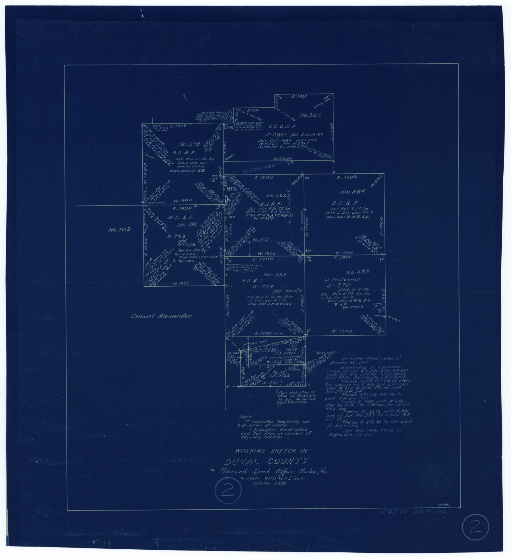
Duval County Working Sketch 2
-
Map/Doc
76443
-
Collection
General Map Collection
-
Object Dates
10/1919 (Creation Date)
-
Counties
Duval
-
Subjects
Surveying Working Sketch
-
Height x Width
16.4 x 15.0 inches
41.7 x 38.1 cm
-
Scale
1" = 800 varas
Part of: General Map Collection
Rusk County Working Sketch 36

Print $20.00
- Digital $50.00
Rusk County Working Sketch 36
2007
Size 31.7 x 36.0 inches
Map/Doc 83786
Brazoria County Sketch File 39

Print $8.00
- Digital $50.00
Brazoria County Sketch File 39
1933
Size 11.3 x 8.8 inches
Map/Doc 15045
McCulloch County Sketch File 4

Print $4.00
- Digital $50.00
McCulloch County Sketch File 4
1883
Size 11.1 x 8.5 inches
Map/Doc 31175
Kimble County Sketch File C

Print $4.00
- Digital $50.00
Kimble County Sketch File C
Size 14.9 x 7.5 inches
Map/Doc 28965
Right of Way and Track Map Houston & Texas Central R.R. operated by the T. and N. O. R.R. Co., Fort Worth Branch

Print $40.00
- Digital $50.00
Right of Way and Track Map Houston & Texas Central R.R. operated by the T. and N. O. R.R. Co., Fort Worth Branch
1918
Size 31.1 x 57.4 inches
Map/Doc 64540
Shelby County Working Sketch 11

Print $20.00
- Digital $50.00
Shelby County Working Sketch 11
1945
Size 32.2 x 43.2 inches
Map/Doc 63864
Survey plat of lots 2, 4, 6, 8, 10-16, Block 322 of the original town site of Jourdanton known as School File 154507

Print $4.00
- Digital $50.00
Survey plat of lots 2, 4, 6, 8, 10-16, Block 322 of the original town site of Jourdanton known as School File 154507
2001
Size 26.0 x 27.7 inches
Map/Doc 60392
Starr County Sketch File 41

Print $20.00
- Digital $50.00
Starr County Sketch File 41
1941
Size 26.6 x 31.1 inches
Map/Doc 12340
Flight Mission No. DQN-2K, Frame 37, Calhoun County

Print $20.00
- Digital $50.00
Flight Mission No. DQN-2K, Frame 37, Calhoun County
1953
Size 18.4 x 22.2 inches
Map/Doc 84242
Maps of Gulf Intracoastal Waterway, Texas - Sabine River to the Rio Grande and connecting waterways including ship channels

Print $20.00
- Digital $50.00
Maps of Gulf Intracoastal Waterway, Texas - Sabine River to the Rio Grande and connecting waterways including ship channels
1966
Size 14.6 x 22.3 inches
Map/Doc 61962
Flight Mission No. DAG-18K, Frame 186, Matagorda County

Print $20.00
- Digital $50.00
Flight Mission No. DAG-18K, Frame 186, Matagorda County
1952
Size 17.2 x 22.5 inches
Map/Doc 86378
Cass County Sketch File 7

Print $4.00
- Digital $50.00
Cass County Sketch File 7
1853
Size 8.0 x 12.6 inches
Map/Doc 17408
You may also like
Blanco County Boundary File 7

Print $58.00
- Digital $50.00
Blanco County Boundary File 7
Size 14.3 x 8.5 inches
Map/Doc 50565
Harris County State Real Property Sketch 4

Print $20.00
- Digital $50.00
Harris County State Real Property Sketch 4
2004
Size 24.4 x 36.0 inches
Map/Doc 82445

Anderson County Sketch File 1

Print $4.00
- Digital $50.00
Anderson County Sketch File 1
1845
Size 12.5 x 8.3 inches
Map/Doc 12737
Henderson County

Print $40.00
- Digital $50.00
Henderson County
1922
Size 33.3 x 62.4 inches
Map/Doc 1854
Anderson County Sketch File 16a

Print $4.00
- Digital $50.00
Anderson County Sketch File 16a
1853
Size 12.3 x 8.3 inches
Map/Doc 12786
Erath County Sketch File A2

Print $20.00
- Digital $50.00
Erath County Sketch File A2
Size 15.9 x 19.5 inches
Map/Doc 11464
Nueces County Sketch File 53

Print $4.00
- Digital $50.00
Nueces County Sketch File 53
1903
Size 11.1 x 8.8 inches
Map/Doc 32863
[Blk. M, T. & P. Blocks 33-36, Townships 5N and 6N]
![90549, [Blk. M, T. & P. Blocks 33-36, Townships 5N and 6N], Twichell Survey Records](https://historictexasmaps.com/wmedia_w700/maps/90549-1.tif.jpg)
Print $20.00
- Digital $50.00
[Blk. M, T. & P. Blocks 33-36, Townships 5N and 6N]
Size 16.2 x 12.2 inches
Map/Doc 90549
Kent County Rolled Sketch A

Print $20.00
- Digital $50.00
Kent County Rolled Sketch A
1902
Size 23.9 x 36.8 inches
Map/Doc 6477
Concho County Rolled Sketch 8

Print $20.00
- Digital $50.00
Concho County Rolled Sketch 8
1956
Size 24.0 x 15.9 inches
Map/Doc 5546
Maverick County Rolled Sketch 14

Print $20.00
- Digital $50.00
Maverick County Rolled Sketch 14
1848
Size 18.4 x 22.9 inches
Map/Doc 6707