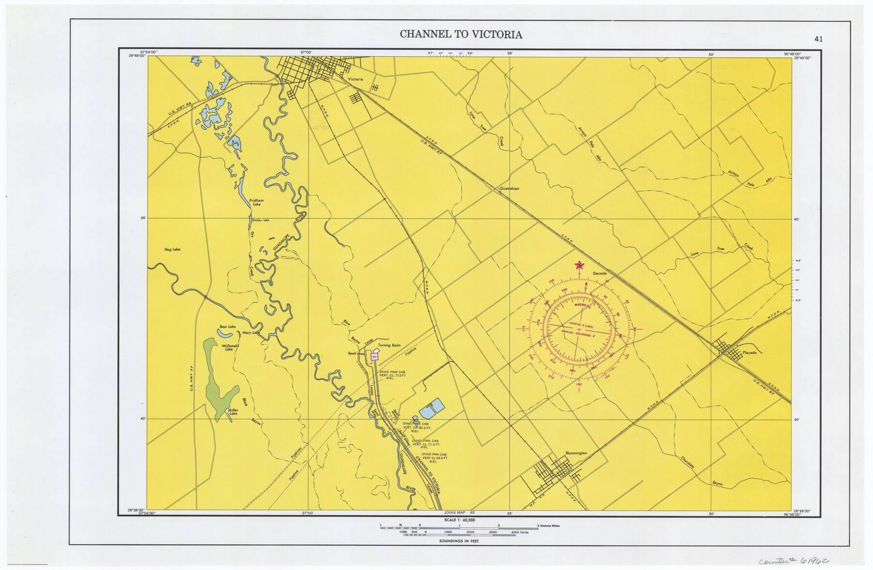
Maps of Gulf Intracoastal Waterway, Texas - Sabine River to the Rio Grande and connecting waterways including ship channels
-
Map/Doc
61962
-
Collection
General Map Collection
-
Object Dates
1966 (Creation Date)
-
Subjects
Intracoastal Waterways
-
Height x Width
14.6 x 22.3 inches
37.1 x 56.6 cm
Part of: General Map Collection
Dallas County Boundary File 8 and 8a

Print $16.00
- Digital $50.00
Dallas County Boundary File 8 and 8a
Size 11.3 x 8.6 inches
Map/Doc 52304
West Part of Edwards County

Print $20.00
- Digital $50.00
West Part of Edwards County
1975
Size 35.5 x 23.2 inches
Map/Doc 77271
Panola County Working Sketch 10

Print $20.00
- Digital $50.00
Panola County Working Sketch 10
1943
Map/Doc 71419
Flight Mission No. CRC-2R, Frame 120, Chambers County

Print $20.00
- Digital $50.00
Flight Mission No. CRC-2R, Frame 120, Chambers County
1956
Size 18.5 x 22.3 inches
Map/Doc 84744
Texas-United States Boundary Line 1

Print $4.00
- Digital $50.00
Texas-United States Boundary Line 1
1843
Size 12.6 x 7.8 inches
Map/Doc 74974
Loving County Rolled Sketch 1

Print $40.00
- Digital $50.00
Loving County Rolled Sketch 1
Size 42.5 x 79.5 inches
Map/Doc 9460
Edwards County Sketch File 1

Print $10.00
- Digital $50.00
Edwards County Sketch File 1
Size 9.2 x 7.0 inches
Map/Doc 21672
Flight Mission No. BQR-3K, Frame 152, Brazoria County

Print $20.00
- Digital $50.00
Flight Mission No. BQR-3K, Frame 152, Brazoria County
1952
Size 18.7 x 22.3 inches
Map/Doc 83979
Culberson County Sketch File 35

Print $34.00
- Digital $50.00
Culberson County Sketch File 35
1959
Size 11.2 x 8.7 inches
Map/Doc 20295
Flight Mission No. BRA-16M, Frame 52, Jefferson County

Print $20.00
- Digital $50.00
Flight Mission No. BRA-16M, Frame 52, Jefferson County
1953
Size 18.5 x 22.6 inches
Map/Doc 85669
Orange County Rolled Sketch 23

Print $20.00
- Digital $50.00
Orange County Rolled Sketch 23
1950
Size 29.0 x 35.3 inches
Map/Doc 7185
Jeff Davis County Sketch File 11

Print $20.00
- Digital $50.00
Jeff Davis County Sketch File 11
Size 17.7 x 29.9 inches
Map/Doc 11858
You may also like

Brewster County Rolled Sketch 114

Print $20.00
- Digital $50.00
Brewster County Rolled Sketch 114
1964
Size 11.9 x 18.3 inches
Map/Doc 5280
Map of Trinity County

Print $20.00
- Digital $50.00
Map of Trinity County
1862
Size 21.0 x 31.3 inches
Map/Doc 4096
Andrews County Working Sketch 31

Print $20.00
- Digital $50.00
Andrews County Working Sketch 31
1990
Size 42.9 x 30.0 inches
Map/Doc 67077
Chambers County Rolled Sketch 28

Print $91.00
- Digital $50.00
Chambers County Rolled Sketch 28
1949
Size 9.9 x 15.2 inches
Map/Doc 44097
Township 3 South Range 12 West, South Western District, Louisiana

Print $20.00
- Digital $50.00
Township 3 South Range 12 West, South Western District, Louisiana
1879
Size 19.5 x 24.8 inches
Map/Doc 65883
Descripcion de las Yndias Ocidentales

Print $20.00
- Digital $50.00
Descripcion de las Yndias Ocidentales
1726
Size 9.6 x 13.2 inches
Map/Doc 95962

Flight Mission No. CUG-2P, Frame 61, Kleberg County

Print $20.00
- Digital $50.00
Flight Mission No. CUG-2P, Frame 61, Kleberg County
1956
Size 18.5 x 22.2 inches
Map/Doc 86198
Shelby County Working Sketch 27

Print $20.00
- Digital $50.00
Shelby County Working Sketch 27
1995
Size 32.8 x 39.9 inches
Map/Doc 63881
[Chas. L. Durocher and Surrounding Surveys]
![90815, [Chas. L. Durocher and Surrounding Surveys], Twichell Survey Records](https://historictexasmaps.com/wmedia_w700/maps/90815-2.tif.jpg)
Print $20.00
- Digital $50.00
[Chas. L. Durocher and Surrounding Surveys]
1919
Size 19.7 x 27.4 inches
Map/Doc 90815
Laguna Madre, T-9212

Print $20.00
- Digital $50.00
Laguna Madre, T-9212
Size 33.1 x 31.4 inches
Map/Doc 73603