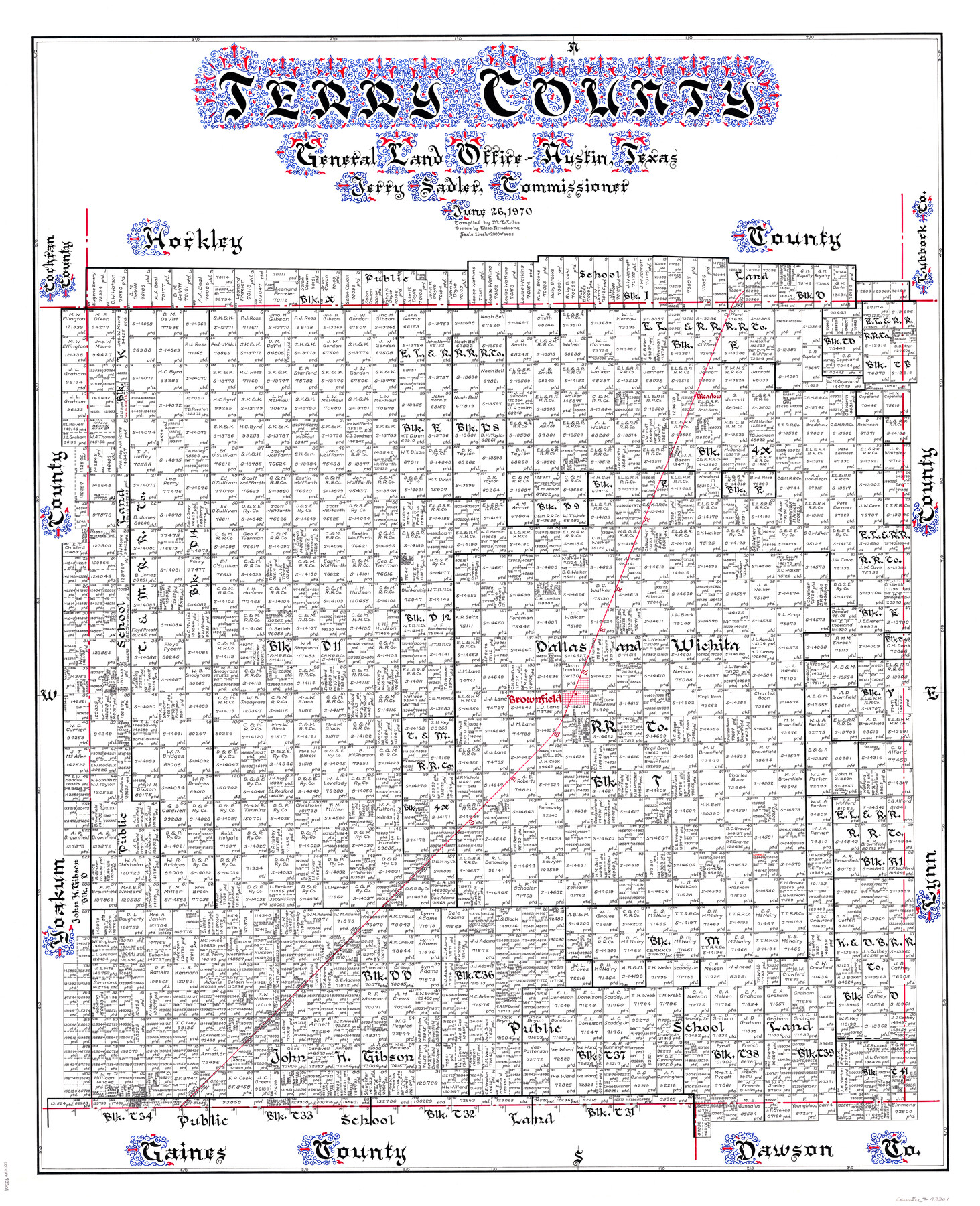
Terry County
-
Map/Doc
73301
-
Collection
General Map Collection
-
Object Dates
1970/6/26 (Creation Date)
-
People and Organizations
Texas General Land Office (Publisher)
Eltea Armstrong (Draftsman)
Jerry Sadler (GLO Commissioner)
M. L. Liles (Compiler)
-
Counties
Terry
-
Subjects
County
-
Height x Width
42.6 x 35.1 inches
108.2 x 89.2 cm
-
Comments
Hand lettered.
-
Features
Meadow
Brownfield
SP&SF
Part of: General Map Collection
Nueces County Rolled Sketch 32

Print $20.00
- Digital $50.00
Nueces County Rolled Sketch 32
Size 17.0 x 17.2 inches
Map/Doc 6876

Coke County Rolled Sketch 16

Print $20.00
- Digital $50.00
Coke County Rolled Sketch 16
1950
Size 44.0 x 34.3 inches
Map/Doc 8630
Pecos County Working Sketch 138

Print $20.00
- Digital $50.00
Pecos County Working Sketch 138
1981
Size 23.2 x 26.3 inches
Map/Doc 71612
DeWitt County Sketch File 1

Print $11.00
- Digital $50.00
DeWitt County Sketch File 1
1851
Size 8.4 x 8.2 inches
Map/Doc 20794
Presidio County Working Sketch 111

Print $20.00
- Digital $50.00
Presidio County Working Sketch 111
1981
Size 17.1 x 20.4 inches
Map/Doc 71788
Travis County Appraisal District Plat Map 2_3215

Print $20.00
- Digital $50.00
Travis County Appraisal District Plat Map 2_3215
Size 21.5 x 26.4 inches
Map/Doc 94222
Limestone County Sketch File 2

Print $2.00
- Digital $50.00
Limestone County Sketch File 2
Size 8.0 x 6.2 inches
Map/Doc 30157
Map showing survey for proposed ship channel from Brownsville to Brazos Santiago Pass

Print $20.00
- Digital $50.00
Map showing survey for proposed ship channel from Brownsville to Brazos Santiago Pass
1912
Size 18.2 x 26.9 inches
Map/Doc 72898
Flight Mission No. DIX-5P, Frame 148, Aransas County

Print $20.00
- Digital $50.00
Flight Mission No. DIX-5P, Frame 148, Aransas County
1956
Size 17.9 x 18.0 inches
Map/Doc 83810
Williamson County Working Sketch 6

Print $20.00
- Digital $50.00
Williamson County Working Sketch 6
1938
Size 11.2 x 18.6 inches
Map/Doc 72566
Right of Way and Track Map, International & Gt. Northern Ry. Operated by the International & Gt. Northern Ry. Co. Gulf Division, Mineola Branch

Print $40.00
- Digital $50.00
Right of Way and Track Map, International & Gt. Northern Ry. Operated by the International & Gt. Northern Ry. Co. Gulf Division, Mineola Branch
1917
Size 25.5 x 116.7 inches
Map/Doc 64701
You may also like
Angelina County Sketch File 28

Print $22.00
- Digital $50.00
Angelina County Sketch File 28
1910
Size 15.7 x 12.0 inches
Map/Doc 13078
Trinity County Working Sketch 21

Print $20.00
- Digital $50.00
Trinity County Working Sketch 21
1992
Size 23.1 x 23.1 inches
Map/Doc 69470
Jim Hogg County Sketch File 10

Print $22.00
- Digital $50.00
Jim Hogg County Sketch File 10
1947
Size 14.3 x 8.7 inches
Map/Doc 28423
Edwards County Rolled Sketch 9

Print $20.00
- Digital $50.00
Edwards County Rolled Sketch 9
1885
Size 29.3 x 42.8 inches
Map/Doc 5802
Matagorda County Boundary File 1

Print $10.00
- Digital $50.00
Matagorda County Boundary File 1
Size 14.1 x 8.6 inches
Map/Doc 56884
Lavaca County Working Sketch 9

Print $20.00
- Digital $50.00
Lavaca County Working Sketch 9
1949
Size 24.7 x 33.9 inches
Map/Doc 70362
Winkler County Working Sketch 20

Print $20.00
- Digital $50.00
Winkler County Working Sketch 20
1990
Size 22.3 x 24.0 inches
Map/Doc 72614
Map of Mason County, Texas

Print $20.00
- Digital $50.00
Map of Mason County, Texas
Size 26.0 x 19.2 inches
Map/Doc 404
San Patricio County Sketch File 16

Print $4.00
San Patricio County Sketch File 16
1880
Size 12.9 x 8.0 inches
Map/Doc 36064
Pecos County Rolled Sketch 110

Print $20.00
- Digital $50.00
Pecos County Rolled Sketch 110
Size 29.1 x 30.4 inches
Map/Doc 7255
General Highway Map, Kendall County, Texas

Print $20.00
General Highway Map, Kendall County, Texas
1961
Size 18.3 x 24.6 inches
Map/Doc 79549
Crockett County Working Sketch 98

Print $20.00
- Digital $50.00
Crockett County Working Sketch 98
1980
Size 42.8 x 35.9 inches
Map/Doc 68431