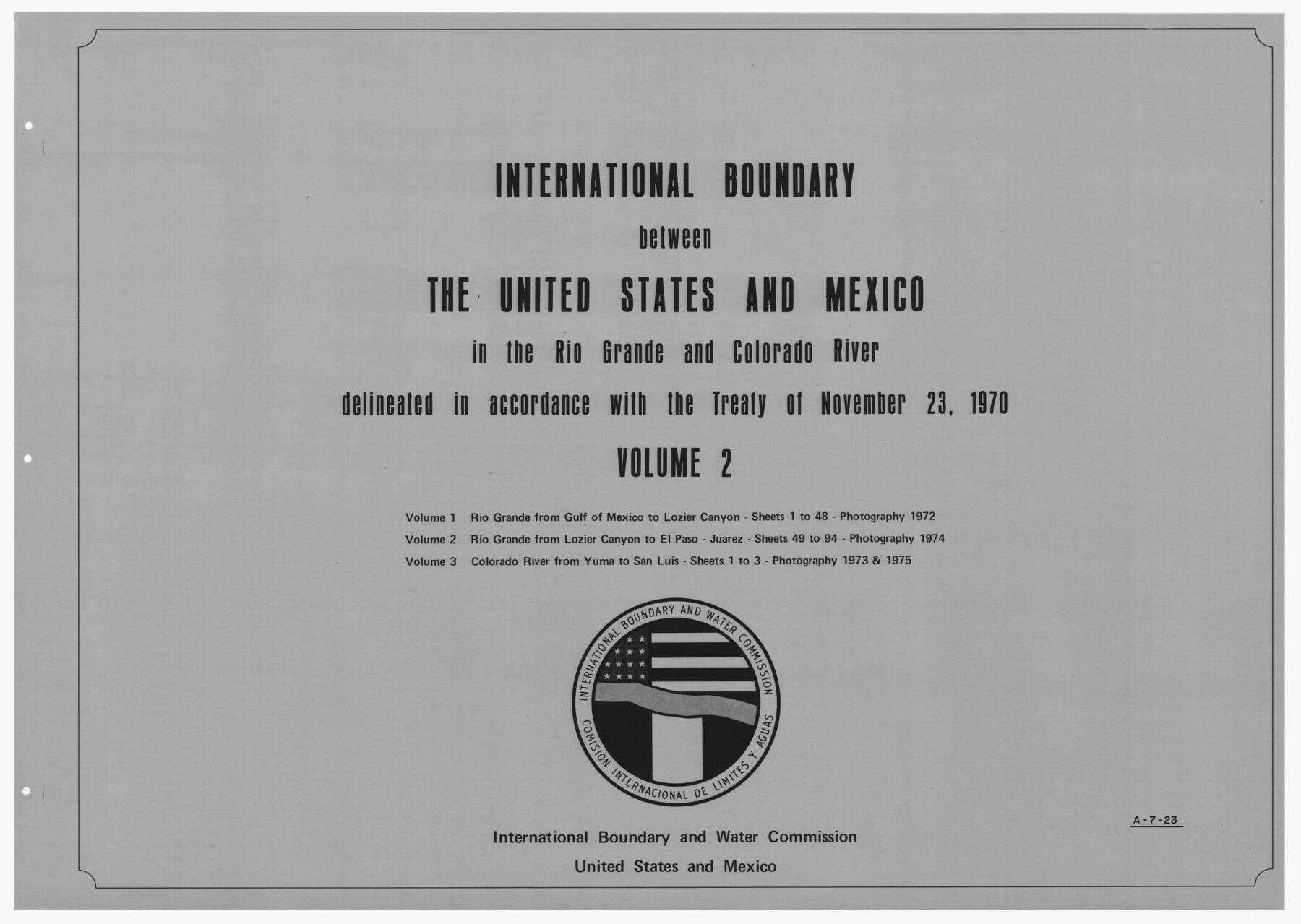
International boundary between the United States and Mexico in the Rio Grande and Colorado River delineated in accordance with the Treaty of November 23, 1970 - Volume 2
Rio Grande from Lozier Canyon to El Paso - Juarez - Sheets 49 to 94 - Photography 1974
A-7-23
-
Map/Doc
7641
-
Collection
General Map Collection
-
Object Dates
1974 (Creation Date)
-
People and Organizations
International Boundary and Water Commission (Publisher)
-
Subjects
Texas Boundaries
-
Height x Width
25.0 x 35.2 inches
63.5 x 89.4 cm
-
Comments
Volume 2 of 2. For Volume 1 see 1741.
Related maps
International boundary between the United States and Mexico in the Rio Grande and Colorado River delineated in accordance with the Treaty of November 23, 1970 - Volume 1

International boundary between the United States and Mexico in the Rio Grande and Colorado River delineated in accordance with the Treaty of November 23, 1970 - Volume 1
1972
Map/Doc 1747
International Boundary Line in the Rio Grande delineated in accordance with the Treaty of 1970 - (1982/1983 Aerial Photographs)

International Boundary Line in the Rio Grande delineated in accordance with the Treaty of 1970 - (1982/1983 Aerial Photographs)
1982
Map/Doc 74827
Part of: General Map Collection
Real County Working Sketch 9

Print $20.00
- Digital $50.00
Real County Working Sketch 9
1929
Size 18.4 x 19.5 inches
Map/Doc 71901
Flight Mission No. CRK-8P, Frame 99, Refugio County

Print $20.00
- Digital $50.00
Flight Mission No. CRK-8P, Frame 99, Refugio County
1956
Size 18.3 x 22.1 inches
Map/Doc 86960

Archer County Rolled Sketch 10

Print $20.00
- Digital $50.00
Archer County Rolled Sketch 10
2012
Size 19.2 x 24.6 inches
Map/Doc 93326
Medina County Boundary File 1

Print $14.00
- Digital $50.00
Medina County Boundary File 1
Size 12.8 x 8.1 inches
Map/Doc 57019
Carta Marina Nvova Tavola

Print $20.00
- Digital $50.00
Carta Marina Nvova Tavola
1574
Size 9.0 x 12.4 inches
Map/Doc 97081
Deaf Smith County Sketch File 7

Print $4.00
- Digital $50.00
Deaf Smith County Sketch File 7
1917
Size 11.3 x 9.0 inches
Map/Doc 20664
Carta Politica

Print $20.00
- Digital $50.00
Carta Politica
1897
Size 26.2 x 34.1 inches
Map/Doc 96797
Burnet County Boundary File 8

Print $88.00
- Digital $50.00
Burnet County Boundary File 8
Size 8.7 x 32.2 inches
Map/Doc 50908
Loving County Working Sketch 4

Print $20.00
- Digital $50.00
Loving County Working Sketch 4
1941
Size 20.1 x 40.2 inches
Map/Doc 70636
2016 Official Travel Map, Texas

2016 Official Travel Map, Texas
Size 33.3 x 36.2 inches
Map/Doc 94297
Edwards County Working Sketch 42

Print $20.00
- Digital $50.00
Edwards County Working Sketch 42
1949
Size 25.5 x 31.4 inches
Map/Doc 68918
You may also like

Flight Mission No. CRE-3R, Frame 42, Jackson County

Print $20.00
- Digital $50.00
Flight Mission No. CRE-3R, Frame 42, Jackson County
1956
Size 18.6 x 22.4 inches
Map/Doc 85389
El Paso County Sketch File 19

Print $30.00
- Digital $50.00
El Paso County Sketch File 19
1905
Size 13.3 x 8.7 inches
Map/Doc 22009
A sketch of surveys made on the coast east of Bolivar Point

Print $20.00
- Digital $50.00
A sketch of surveys made on the coast east of Bolivar Point
1841
Size 9.1 x 22.0 inches
Map/Doc 22
[Block 37, Townships 1 and 2 North]
![91344, [Block 37, Townships 1 and 2 North], Twichell Survey Records](https://historictexasmaps.com/wmedia_w700/maps/91344-1.tif.jpg)
Print $20.00
- Digital $50.00
[Block 37, Townships 1 and 2 North]
Size 13.9 x 34.3 inches
Map/Doc 91344
[Floyd County School Land Lgs. 180-183, Fisher County School Land Lgs. 105-108, and part of Blk. V]
![90192, [Floyd County School Land Lgs. 180-183, Fisher County School Land Lgs. 105-108, and part of Blk. V], Twichell Survey Records](https://historictexasmaps.com/wmedia_w700/maps/90192-1.tif.jpg)
Print $2.00
- Digital $50.00
[Floyd County School Land Lgs. 180-183, Fisher County School Land Lgs. 105-108, and part of Blk. V]
Size 8.7 x 10.2 inches
Map/Doc 90192
[Southwest part of County]
![90922, [Southwest part of County], Twichell Survey Records](https://historictexasmaps.com/wmedia_w700/maps/90922-1.tif.jpg)
Print $20.00
- Digital $50.00
[Southwest part of County]
Size 28.8 x 18.4 inches
Map/Doc 90922

Polk County Working Sketch 8

Print $20.00
- Digital $50.00
Polk County Working Sketch 8
1934
Size 24.2 x 30.5 inches
Map/Doc 71623

Jeff Davis County Rolled Sketch 44

Print $20.00
- Digital $50.00
Jeff Davis County Rolled Sketch 44
2014
Size 19.8 x 34.7 inches
Map/Doc 94243
Flight Mission No. BRE-1P, Frame 129, Nueces County

Print $20.00
- Digital $50.00
Flight Mission No. BRE-1P, Frame 129, Nueces County
1956
Size 18.5 x 22.6 inches
Map/Doc 86695