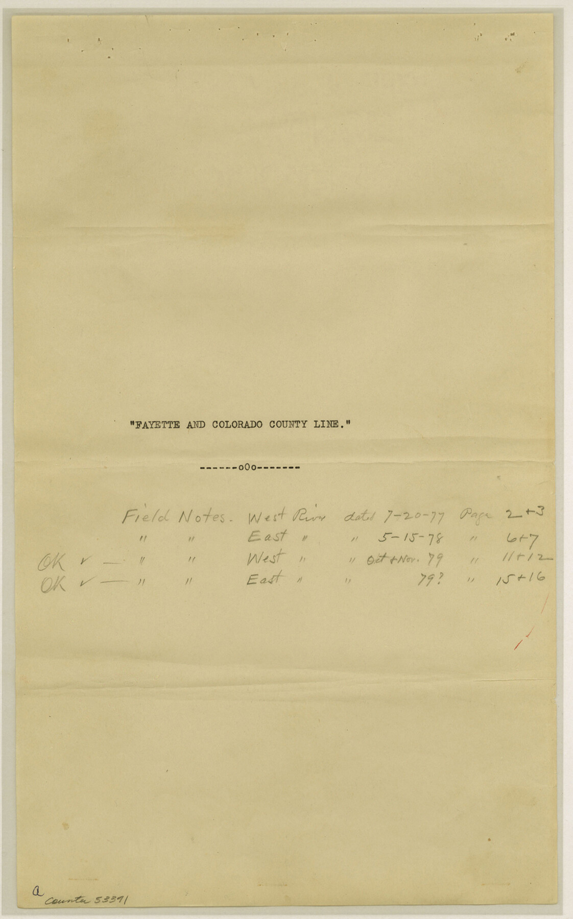
Fayette County Boundary File 5
County Line Fayett [sp.] and Colorado Cos.
-
Map/Doc
53371
-
Collection
General Map Collection
-
Counties
Fayette
-
Subjects
County Boundaries
-
Height x Width
14.4 x 9.0 inches
36.6 x 22.9 cm
Part of: General Map Collection
Flight Mission No. CUG-3P, Frame 14, Kleberg County

Print $20.00
- Digital $50.00
Flight Mission No. CUG-3P, Frame 14, Kleberg County
1956
Size 18.7 x 22.3 inches
Map/Doc 86224
Marion County Working Sketch 32

Print $40.00
- Digital $50.00
Marion County Working Sketch 32
1982
Size 50.0 x 43.3 inches
Map/Doc 70808
Flight Mission No. BRE-2P, Frame 12, Nueces County

Print $20.00
- Digital $50.00
Flight Mission No. BRE-2P, Frame 12, Nueces County
1956
Size 18.5 x 22.6 inches
Map/Doc 86721
Tom Green County Sketch File 86

Print $8.00
- Digital $50.00
Tom Green County Sketch File 86
1986
Size 14.2 x 8.9 inches
Map/Doc 38260
Garza County Sketch File 24

Print $8.00
- Digital $50.00
Garza County Sketch File 24
Size 9.1 x 7.7 inches
Map/Doc 24083
Johnson County Working Sketch 20

Print $20.00
- Digital $50.00
Johnson County Working Sketch 20
1991
Size 23.4 x 29.0 inches
Map/Doc 66633
Harris County Historic Topographic 28

Print $20.00
- Digital $50.00
Harris County Historic Topographic 28
1915
Size 29.5 x 22.8 inches
Map/Doc 65839
Tyler County Working Sketch 17

Print $20.00
- Digital $50.00
Tyler County Working Sketch 17
1962
Size 33.1 x 38.9 inches
Map/Doc 69487
Cooke County Working Sketch 7

Print $20.00
- Digital $50.00
Cooke County Working Sketch 7
1939
Size 25.1 x 33.7 inches
Map/Doc 68244
Dawson County Sketch File A

Print $28.00
- Digital $50.00
Dawson County Sketch File A
1903
Size 11.4 x 8.8 inches
Map/Doc 20461
Montgomery County Working Sketch 44

Print $20.00
- Digital $50.00
Montgomery County Working Sketch 44
1956
Size 31.7 x 23.2 inches
Map/Doc 71151
Red River County

Print $20.00
- Digital $50.00
Red River County
1934
Size 45.0 x 38.6 inches
Map/Doc 77405
You may also like
Dimmit County Working Sketch 18

Print $20.00
- Digital $50.00
Dimmit County Working Sketch 18
1946
Size 33.5 x 35.0 inches
Map/Doc 68679
Garza County Rolled Sketch R3

Print $20.00
- Digital $50.00
Garza County Rolled Sketch R3
Size 21.4 x 14.9 inches
Map/Doc 6006

Lamb County Working Sketch 1

Print $20.00
- Digital $50.00
Lamb County Working Sketch 1
1917
Size 40.2 x 43.4 inches
Map/Doc 70274
Refugio County Boundary File 3

Print $4.00
- Digital $50.00
Refugio County Boundary File 3
Size 14.0 x 8.7 inches
Map/Doc 58244
Township 4 North Range 13 West, North Western District, Louisiana

Print $20.00
- Digital $50.00
Township 4 North Range 13 West, North Western District, Louisiana
1884
Size 19.6 x 24.6 inches
Map/Doc 65866
Culberson County Sketch File WJ

Print $8.00
- Digital $50.00
Culberson County Sketch File WJ
Size 14.2 x 28.2 inches
Map/Doc 5786
Chambers County Rolled Sketch 21

Print $20.00
- Digital $50.00
Chambers County Rolled Sketch 21
1940
Size 40.9 x 41.0 inches
Map/Doc 8589
Glasscock County Rolled Sketch 17

Print $20.00
- Digital $50.00
Glasscock County Rolled Sketch 17
Size 21.6 x 27.4 inches
Map/Doc 6021
Flight Mission No. CRC-4R, Frame 77, Chambers County

Print $20.00
- Digital $50.00
Flight Mission No. CRC-4R, Frame 77, Chambers County
1956
Size 18.9 x 22.5 inches
Map/Doc 84881
Matagorda County Sketch File 37

Print $4.00
- Digital $50.00
Matagorda County Sketch File 37
Size 11.3 x 8.8 inches
Map/Doc 30830
Sutton County Working Sketch 1

Print $20.00
- Digital $50.00
Sutton County Working Sketch 1
1968
Size 31.1 x 30.6 inches
Map/Doc 62344