[Sketch for Mineral Application 11108 - Greens Bayou]
Map Mineral File No. 36, Greens Bayou, Harris County, Texas
K-1-21a; K-1-21b
-
Map/Doc
76156
-
Collection
General Map Collection
-
Object Dates
1922/9/2 (File Date)
-
People and Organizations
A. Boyle (Surveyor/Engineer)
-
Counties
Harris
-
Subjects
Energy Offshore Submerged Area
-
Height x Width
58.2 x 31.4 inches
147.8 x 79.8 cm
Part of: General Map Collection
Gregg County Rolled Sketch 24


Print $40.00
- Digital $50.00
Gregg County Rolled Sketch 24
Size 40.0 x 49.7 inches
Map/Doc 9075
Freestone County Rolled Sketch 11


Print $20.00
- Digital $50.00
Freestone County Rolled Sketch 11
Size 23.3 x 33.9 inches
Map/Doc 5912
Cette Carte de Californie et du Nouveau Mexique est tiree de celle qui a ete envoyee par un grand d'Espagne pour etre communiquee a Mrs. de l'Academie Royale des Sciences
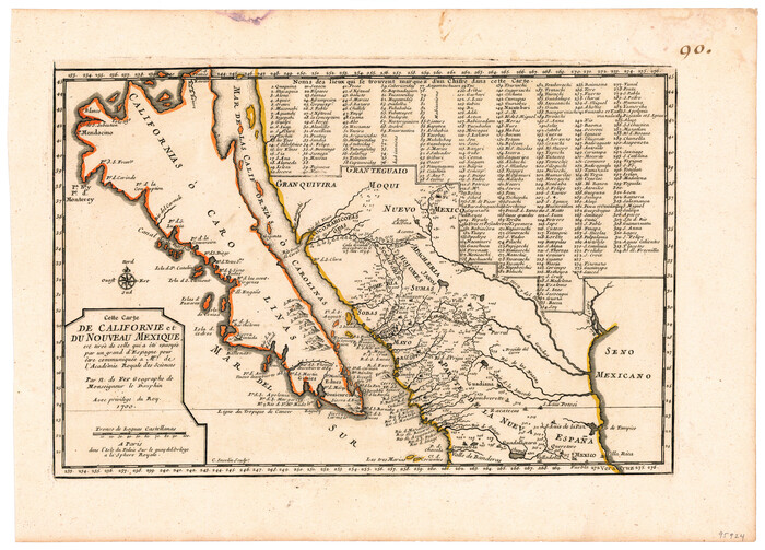

Print $20.00
- Digital $50.00
Cette Carte de Californie et du Nouveau Mexique est tiree de celle qui a ete envoyee par un grand d'Espagne pour etre communiquee a Mrs. de l'Academie Royale des Sciences
1700
Size 11.8 x 16.5 inches
Map/Doc 95924
Cooke County Sketch File 9a

Print $4.00
- Digital $50.00
Cooke County Sketch File 9a
Size 8.2 x 9.4 inches
Map/Doc 19240
Nueces County Sketch File 25B


Print $20.00
- Digital $50.00
Nueces County Sketch File 25B
1894
Size 17.6 x 24.6 inches
Map/Doc 42183
Dickens County Sketch File 2
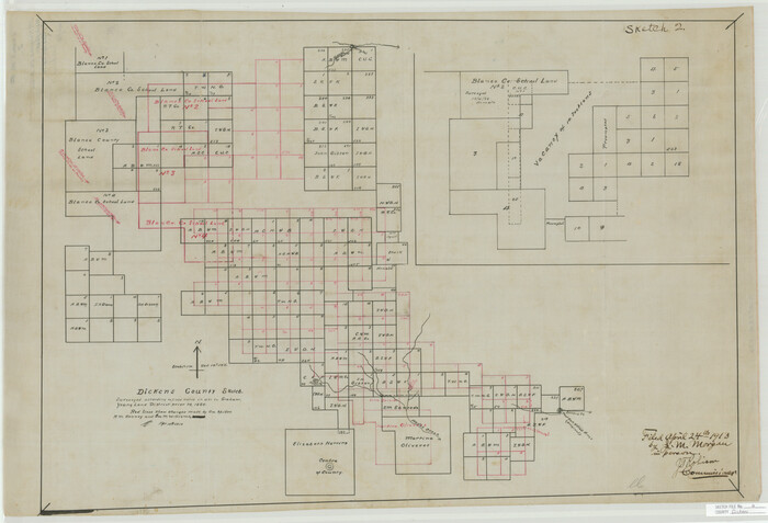

Print $20.00
- Digital $50.00
Dickens County Sketch File 2
1913
Size 22.0 x 32.3 inches
Map/Doc 11316
Cass County Working Sketch 43
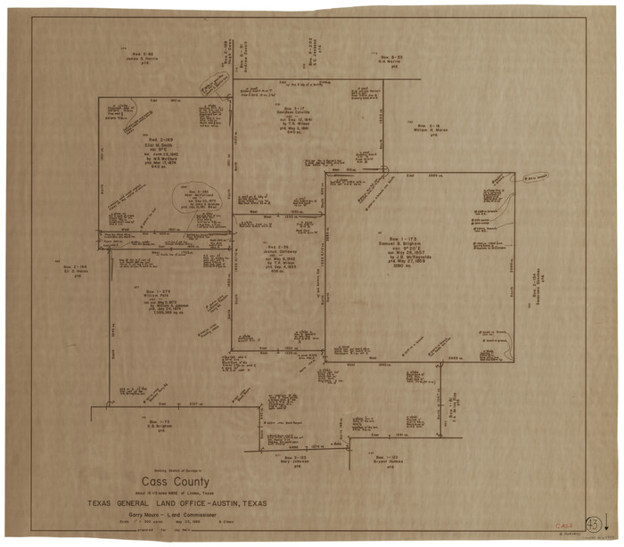

Print $20.00
- Digital $50.00
Cass County Working Sketch 43
1988
Size 25.6 x 29.6 inches
Map/Doc 67946
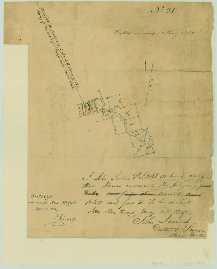
Surveys made on the San Miguel. March 1847

Print $2.00
- Digital $50.00
Surveys made on the San Miguel. March 1847
1847
Size 10.4 x 8.4 inches
Map/Doc 223
El Paso County Boundary File 4


Print $12.00
- Digital $50.00
El Paso County Boundary File 4
Size 13.5 x 8.6 inches
Map/Doc 53038
[Surveys along the San Marcos River]
![158, [Surveys along the San Marcos River], General Map Collection](https://historictexasmaps.com/wmedia_w700/maps/158.tif.jpg)
![158, [Surveys along the San Marcos River], General Map Collection](https://historictexasmaps.com/wmedia_w700/maps/158.tif.jpg)
Print $2.00
- Digital $50.00
[Surveys along the San Marcos River]
Size 7.7 x 5.8 inches
Map/Doc 158
You may also like
Map Shelby County


Print $20.00
- Digital $50.00
Map Shelby County
1852
Size 20.1 x 31.5 inches
Map/Doc 4029
Howard County Working Sketch 9b

Print $20.00
- Digital $50.00
Howard County Working Sketch 9b
1962
Size 33.9 x 37.4 inches
Map/Doc 66277
Culberson Co.

Print $40.00
- Digital $50.00
Culberson Co.
1908
Size 50.2 x 33.7 inches
Map/Doc 66795
Southwell Place and J. F. Rice Subdivision

Print $20.00
- Digital $50.00
Southwell Place and J. F. Rice Subdivision
1926
Size 19.1 x 24.8 inches
Map/Doc 92745
Tarrant County Sketch File 23

Print $4.00
- Digital $50.00
Tarrant County Sketch File 23
Size 6.1 x 8.2 inches
Map/Doc 37733
Reeves County Rolled Sketch 2


Print $20.00
- Digital $50.00
Reeves County Rolled Sketch 2
1890
Size 34.0 x 39.5 inches
Map/Doc 9845
Culberson County Rolled Sketch 52

Print $20.00
- Digital $50.00
Culberson County Rolled Sketch 52
Size 19.0 x 24.8 inches
Map/Doc 5673
Live Oak County Working Sketch 15

Print $20.00
- Digital $50.00
Live Oak County Working Sketch 15
1952
Size 23.8 x 22.6 inches
Map/Doc 70600
Hardin County Rolled Sketch 10

Print $20.00
- Digital $50.00
Hardin County Rolled Sketch 10
1948
Size 23.7 x 33.0 inches
Map/Doc 6082
El Paso County Rolled Sketch 60
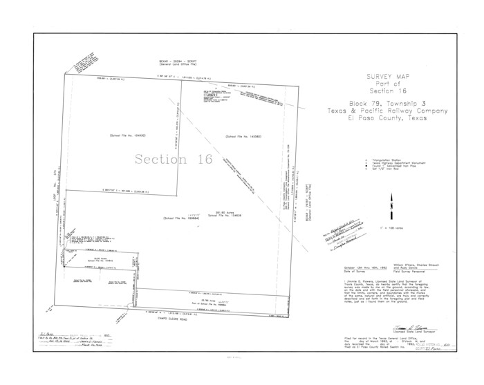

Print $20.00
- Digital $50.00
El Paso County Rolled Sketch 60
1992
Size 29.0 x 36.5 inches
Map/Doc 5852
Brewster County Working Sketch 15a


Print $40.00
- Digital $50.00
Brewster County Working Sketch 15a
1953
Size 22.6 x 49.1 inches
Map/Doc 67549
![76156, [Sketch for Mineral Application 11108 - Greens Bayou], General Map Collection](https://historictexasmaps.com/wmedia_w1800h1800/maps/76156.tif.jpg)
![93063, [Block B11], Twichell Survey Records](https://historictexasmaps.com/wmedia_w700/maps/93063-1.tif.jpg)