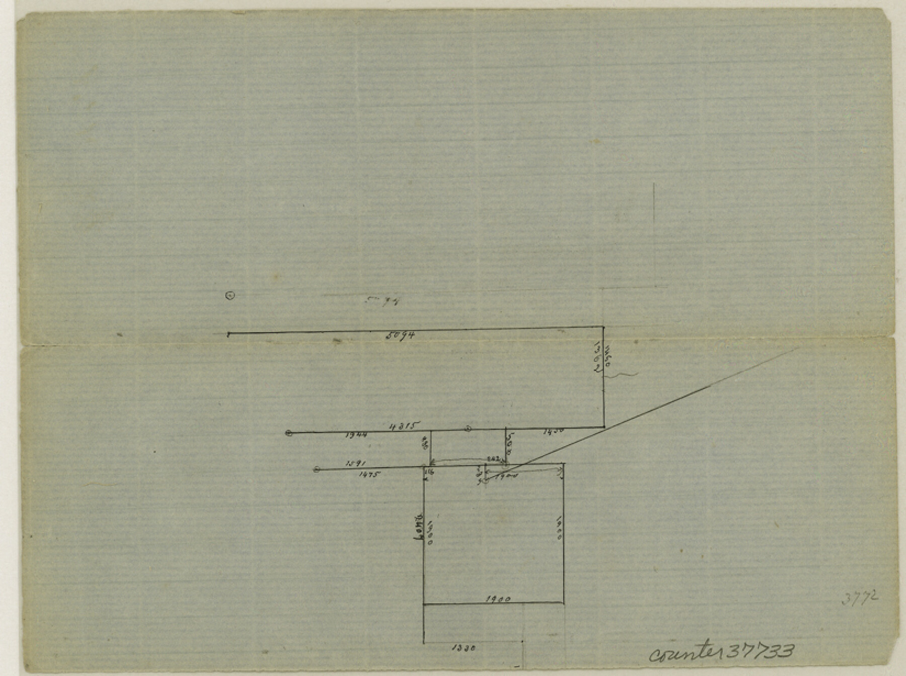
Tarrant County Sketch File 23
[Skeleton sketch in northwest corner of the county]
-
Map/Doc
37733
-
Collection
General Map Collection
-
Counties
Tarrant
-
Subjects
Surveying Sketch File
-
Height x Width
6.1 x 8.2 inches
15.5 x 20.8 cm
-
Medium
paper, manuscript
Part of: General Map Collection
Texas Official Highway Travel Map

Digital $50.00
Texas Official Highway Travel Map
Size 27.1 x 36.2 inches
Map/Doc 94311
Burleson County

Print $20.00
- Digital $50.00
Burleson County
1884
Size 18.2 x 23.4 inches
Map/Doc 3347
Map of the Cotton Belt Route, St. Louis Southwestern Railway Co., St. Louis Southwestern Railway Co. of Texas, Tyler Southeastern Railway Co. and connections

Print $20.00
- Digital $50.00
Map of the Cotton Belt Route, St. Louis Southwestern Railway Co., St. Louis Southwestern Railway Co. of Texas, Tyler Southeastern Railway Co. and connections
1898
Size 15.3 x 35.7 inches
Map/Doc 93954
Wise County Rolled Sketch 2

Print $40.00
- Digital $50.00
Wise County Rolled Sketch 2
1941
Size 58.7 x 44.8 inches
Map/Doc 10155
Liberty County Rolled Sketch L

Print $20.00
- Digital $50.00
Liberty County Rolled Sketch L
1950
Size 34.4 x 23.9 inches
Map/Doc 6624
Eastland County Boundary File 26a

Print $32.00
- Digital $50.00
Eastland County Boundary File 26a
Size 12.7 x 8.1 inches
Map/Doc 52813
El Paso County Sketch File 7a

Print $4.00
- Digital $50.00
El Paso County Sketch File 7a
Size 8.5 x 4.1 inches
Map/Doc 22002
Flight Mission No. BRA-7M, Frame 40, Jefferson County

Print $20.00
- Digital $50.00
Flight Mission No. BRA-7M, Frame 40, Jefferson County
1953
Size 18.7 x 22.3 inches
Map/Doc 85491
Potter County Rolled Sketch 9

Print $20.00
- Digital $50.00
Potter County Rolled Sketch 9
1931
Size 36.7 x 25.3 inches
Map/Doc 7322
Jefferson County Working Sketch 26

Print $20.00
- Digital $50.00
Jefferson County Working Sketch 26
1977
Size 39.9 x 36.8 inches
Map/Doc 66569
Matagorda County Sketch File 7c

Print $8.00
- Digital $50.00
Matagorda County Sketch File 7c
1890
Size 14.3 x 8.8 inches
Map/Doc 30746
Flight Mission No. DQN-2K, Frame 67, Calhoun County

Print $20.00
- Digital $50.00
Flight Mission No. DQN-2K, Frame 67, Calhoun County
1953
Size 18.6 x 22.3 inches
Map/Doc 84259
You may also like
Flight Mission No. DCL-6C, Frame 12, Kenedy County

Print $20.00
- Digital $50.00
Flight Mission No. DCL-6C, Frame 12, Kenedy County
1943
Size 18.7 x 22.4 inches
Map/Doc 85869
Jeff Davis County Boundary File 1

Print $18.00
- Digital $50.00
Jeff Davis County Boundary File 1
Size 8.8 x 8.6 inches
Map/Doc 55492
Fisher County Sketch File 4

Print $33.00
- Digital $50.00
Fisher County Sketch File 4
Size 11.4 x 9.2 inches
Map/Doc 22557
Matagorda Bay and Approaches

Print $20.00
- Digital $50.00
Matagorda Bay and Approaches
1965
Size 34.8 x 44.9 inches
Map/Doc 73383
Carte d'une partie de L'Amérique Séptentrionale, qui contient partie de la Nle. Espagne, et de la Louisiane

Print $20.00
- Digital $50.00
Carte d'une partie de L'Amérique Séptentrionale, qui contient partie de la Nle. Espagne, et de la Louisiane
1782
Size 14.1 x 18.1 inches
Map/Doc 97118
Orange County Boundary File 7

Print $10.00
- Digital $50.00
Orange County Boundary File 7
Size 4.1 x 7.6 inches
Map/Doc 57775
Flight Mission No. BRA-8M, Frame 149, Jefferson County

Print $20.00
- Digital $50.00
Flight Mission No. BRA-8M, Frame 149, Jefferson County
1953
Size 18.8 x 22.4 inches
Map/Doc 85641
Jefferson County Rolled Sketch 60

Print $20.00
- Digital $50.00
Jefferson County Rolled Sketch 60
1885
Size 31.0 x 35.6 inches
Map/Doc 9315
Collin County

Print $20.00
- Digital $50.00
Collin County
1975
Size 42.7 x 39.8 inches
Map/Doc 95459
Oldham County

Print $40.00
- Digital $50.00
Oldham County
1925
Size 41.5 x 53.2 inches
Map/Doc 95604
From Citizens of Victoria County to Redefine the Boundary Between Jackson and Victoria Counties, November 25, 1841

Print $20.00
From Citizens of Victoria County to Redefine the Boundary Between Jackson and Victoria Counties, November 25, 1841
2020
Size 23.3 x 21.7 inches
Map/Doc 96394
San Jacinto County Working Sketch 15

Print $20.00
- Digital $50.00
San Jacinto County Working Sketch 15
1935
Size 32.0 x 36.5 inches
Map/Doc 63728