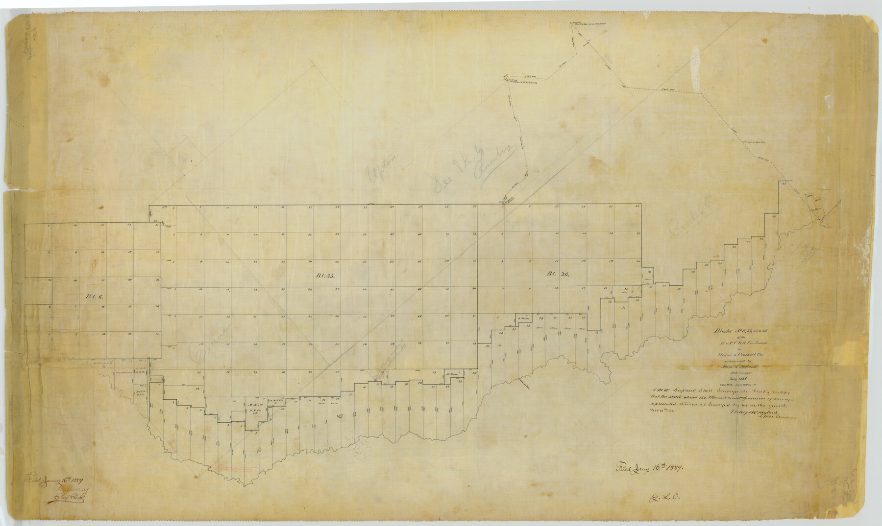
Crockett County Rolled Sketch 1
Blocks No. 6, 31, 35 & 36 of the H. & T. C. R.R. Cos surveys in Upton & Crockett Cos.
-
Map/Doc
76144
-
Collection
General Map Collection
-
Object Dates
1889/1/16 (File Date)
1888 (Creation Date)
-
People and Organizations
Mayo W. Neyland (Surveyor/Engineer)
-
Counties
Crockett Upton Crane
-
Subjects
Surveying Rolled Sketch
-
Height x Width
36.5 x 61.1 inches
92.7 x 155.2 cm
-
Medium
paper, manuscript
-
Scale
1" = 1000 varas
Part of: General Map Collection
[St. Louis & Southwestern]
![64278, [St. Louis & Southwestern], General Map Collection](https://historictexasmaps.com/wmedia_w700/maps/64278.tif.jpg)
Print $20.00
- Digital $50.00
[St. Louis & Southwestern]
Size 20.8 x 28.9 inches
Map/Doc 64278
Lavaca County Rolled Sketch 2

Print $20.00
- Digital $50.00
Lavaca County Rolled Sketch 2
1951
Size 37.0 x 26.7 inches
Map/Doc 6592
Garza County Working Sketch 2

Print $20.00
- Digital $50.00
Garza County Working Sketch 2
1906
Size 20.2 x 12.1 inches
Map/Doc 63149
Right of Way & Track Map, St. Louis, Brownsville & Mexico Ry. operated by St. Louis, Brownsville & Mexico Ry. Co.

Print $40.00
- Digital $50.00
Right of Way & Track Map, St. Louis, Brownsville & Mexico Ry. operated by St. Louis, Brownsville & Mexico Ry. Co.
1919
Size 25.2 x 57.1 inches
Map/Doc 64613
Matagorda County Sketch File 43

Print $20.00
- Digital $50.00
Matagorda County Sketch File 43
1839
Size 13.2 x 8.2 inches
Map/Doc 30868
Aransas County Boundary File 4

Print $30.00
- Digital $50.00
Aransas County Boundary File 4
Size 9.2 x 7.8 inches
Map/Doc 49790
Jim Hogg County Sketch File 2

Print $20.00
- Digital $50.00
Jim Hogg County Sketch File 2
1926
Size 24.9 x 17.7 inches
Map/Doc 11884
Mills County Sketch File 1b

Print $4.00
- Digital $50.00
Mills County Sketch File 1b
Size 8.6 x 9.5 inches
Map/Doc 31644
Orange County Sketch File 9b

Print $22.00
- Digital $50.00
Orange County Sketch File 9b
1873
Size 14.6 x 12.6 inches
Map/Doc 33315
Cherokee County Working Sketch 24

Print $20.00
- Digital $50.00
Cherokee County Working Sketch 24
1972
Size 37.2 x 38.8 inches
Map/Doc 67979
Hemphill County Rolled Sketch 4

Print $40.00
- Digital $50.00
Hemphill County Rolled Sketch 4
Size 29.7 x 55.1 inches
Map/Doc 6186
Wheeler County Sketch File 11

Print $47.00
- Digital $50.00
Wheeler County Sketch File 11
1992
Size 11.5 x 9.0 inches
Map/Doc 40014
You may also like
City of Austin, Texas and Suburban Territory

Print $40.00
- Digital $50.00
City of Austin, Texas and Suburban Territory
1952
Size 47.8 x 53.0 inches
Map/Doc 73583
Fort Bend County Rolled Sketch B

Print $20.00
- Digital $50.00
Fort Bend County Rolled Sketch B
Size 20.4 x 28.9 inches
Map/Doc 5904
San Patricio County Sketch File 37

Print $94.00
- Digital $50.00
San Patricio County Sketch File 37
1915
Size 10.5 x 6.4 inches
Map/Doc 36142
Clay County Sketch File 1

Print $22.00
- Digital $50.00
Clay County Sketch File 1
1855
Size 8.9 x 7.6 inches
Map/Doc 18386
Zapata County

Print $40.00
- Digital $50.00
Zapata County
1901
Size 53.1 x 38.0 inches
Map/Doc 63143
Fort Bend County Working Sketch 6

Print $20.00
- Digital $50.00
Fort Bend County Working Sketch 6
1917
Size 15.7 x 15.5 inches
Map/Doc 69212
Jasper County Sketch File 28

Print $10.00
- Digital $50.00
Jasper County Sketch File 28
1947
Size 11.4 x 8.8 inches
Map/Doc 27853
Moore County Sketch File 3

Print $20.00
- Digital $50.00
Moore County Sketch File 3
Size 17.2 x 19.3 inches
Map/Doc 42126
Lynn County Sketch File 22

Print $2.00
- Digital $50.00
Lynn County Sketch File 22
1994
Size 11.1 x 8.8 inches
Map/Doc 30553
Gaines County Sketch File 14

Print $20.00
- Digital $50.00
Gaines County Sketch File 14
1954
Size 23.4 x 32.1 inches
Map/Doc 11525
Rio Grande, Hargill Sheet

Print $20.00
- Digital $50.00
Rio Grande, Hargill Sheet
1937
Size 37.3 x 37.8 inches
Map/Doc 65109
Hays County Sketch File 16

Print $4.00
- Digital $50.00
Hays County Sketch File 16
1857
Size 12.8 x 8.3 inches
Map/Doc 26227