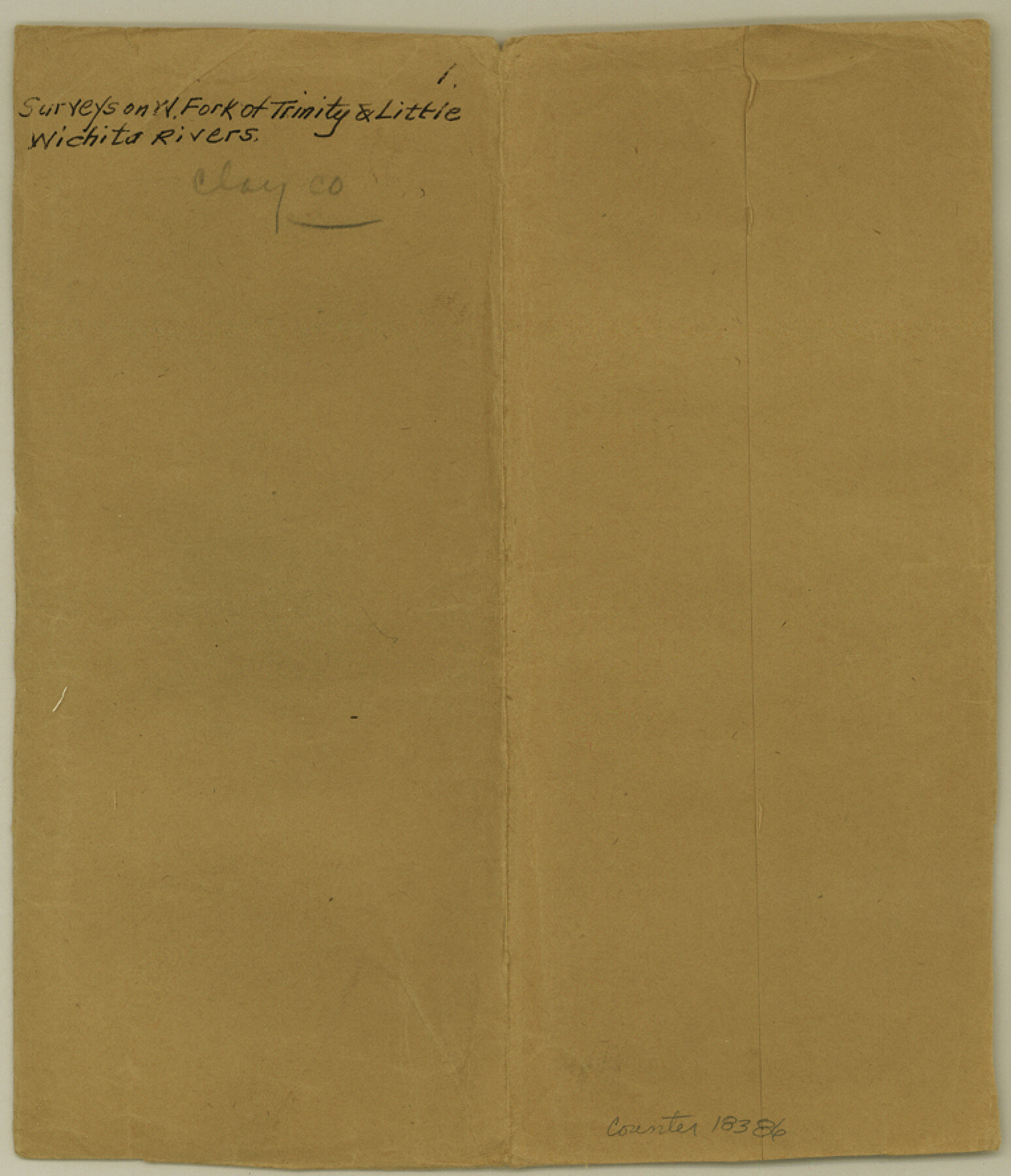
Clay County Sketch File 1
[Sketch of large area between west fork of the Trinity River and Little Wichita River]
-
Map/Doc
18386
-
Collection
General Map Collection
-
Object Dates
1855/1/2 (Creation Date)
-
People and Organizations
Daniel Montague (Surveyor/Engineer)
-
Counties
Clay Archer
-
Subjects
Surveying Sketch File
-
Height x Width
8.9 x 7.6 inches
22.6 x 19.3 cm
-
Medium
paper, manuscript
-
Features
Trinity River
Little Wichita River
Red River
Part of: General Map Collection
Bell County Working Sketch 1

Print $20.00
- Digital $50.00
Bell County Working Sketch 1
1915
Size 20.7 x 13.2 inches
Map/Doc 67341
Lampasas County Sketch File 11

Print $4.00
- Digital $50.00
Lampasas County Sketch File 11
1874
Size 12.2 x 7.9 inches
Map/Doc 29420
Eastland County Rolled Sketch 24

Print $20.00
- Digital $50.00
Eastland County Rolled Sketch 24
1983
Size 33.5 x 38.0 inches
Map/Doc 8830
Trinity River, Carl Switch Sheet/Chambers Creek

Print $4.00
- Digital $50.00
Trinity River, Carl Switch Sheet/Chambers Creek
1926
Size 27.9 x 27.0 inches
Map/Doc 65217
Fort Bend County Working Sketch 1

Print $20.00
- Digital $50.00
Fort Bend County Working Sketch 1
Size 16.0 x 27.4 inches
Map/Doc 69207
Galveston County Sketch File 11b

Print $4.00
- Digital $50.00
Galveston County Sketch File 11b
1876
Size 8.9 x 8.9 inches
Map/Doc 23378
Duval County Sketch File 46

Print $4.00
- Digital $50.00
Duval County Sketch File 46
Size 8.8 x 9.4 inches
Map/Doc 21400
Upshur County Sketch File 7

Print $4.00
- Digital $50.00
Upshur County Sketch File 7
1849
Size 8.2 x 10.2 inches
Map/Doc 38744
Cass County Rolled Sketch 8

Print $20.00
- Digital $50.00
Cass County Rolled Sketch 8
Size 28.8 x 17.6 inches
Map/Doc 77522
Orange County Working Sketch 42

Print $20.00
- Digital $50.00
Orange County Working Sketch 42
1979
Size 19.6 x 25.4 inches
Map/Doc 71374
Plan C, Part 2nd Shewing that portion of the meridian boundary between Texas and the United States, included between the 36th mile mound and the 72nd north of Sabine River

Print $20.00
- Digital $50.00
Plan C, Part 2nd Shewing that portion of the meridian boundary between Texas and the United States, included between the 36th mile mound and the 72nd north of Sabine River
1842
Size 19.4 x 27.6 inches
Map/Doc 65413
La Salle County Sketch File 21

Print $6.00
- Digital $50.00
La Salle County Sketch File 21
1883
Size 11.0 x 10.5 inches
Map/Doc 29526
You may also like
Madison County Working Sketch Graphic Index

Print $20.00
- Digital $50.00
Madison County Working Sketch Graphic Index
1922
Size 29.4 x 47.6 inches
Map/Doc 76628
Harris County Working Sketch 69

Print $20.00
- Digital $50.00
Harris County Working Sketch 69
1956
Size 32.7 x 28.2 inches
Map/Doc 65961
Map of Clay County

Print $20.00
- Digital $50.00
Map of Clay County
1883
Size 26.0 x 23.3 inches
Map/Doc 3396
Motley County Working Sketch Graphic Index

Print $20.00
- Digital $50.00
Motley County Working Sketch Graphic Index
1966
Size 42.3 x 33.3 inches
Map/Doc 76650
[Subdivision Plat of 80 acres]
![93075, [Subdivision Plat of 80 acres], Twichell Survey Records](https://historictexasmaps.com/wmedia_w700/maps/93075-1.tif.jpg)
Print $2.00
- Digital $50.00
[Subdivision Plat of 80 acres]
Size 11.7 x 6.2 inches
Map/Doc 93075
King County Sketch File 11

Print $40.00
- Digital $50.00
King County Sketch File 11
1902
Size 13.7 x 9.1 inches
Map/Doc 29085
Shelby County Sketch File 16

Print $6.00
- Digital $50.00
Shelby County Sketch File 16
1873
Size 8.2 x 8.6 inches
Map/Doc 36626
Reeves County Working Sketch 61

Print $20.00
- Digital $50.00
Reeves County Working Sketch 61
1982
Size 32.1 x 31.4 inches
Map/Doc 63504
Map of Dickens County

Print $20.00
- Digital $50.00
Map of Dickens County
1899
Size 41.1 x 37.7 inches
Map/Doc 4933
Pecos County Rolled Sketch 146

Print $20.00
- Digital $50.00
Pecos County Rolled Sketch 146
Size 40.8 x 32.5 inches
Map/Doc 9734
Flight Mission No. DQN-2K, Frame 88, Calhoun County

Print $20.00
- Digital $50.00
Flight Mission No. DQN-2K, Frame 88, Calhoun County
1953
Size 18.6 x 22.3 inches
Map/Doc 84278
[Galveston, Harrisburg & San Antonio Railroad from Cuero to Stockdale]
![64192, [Galveston, Harrisburg & San Antonio Railroad from Cuero to Stockdale], General Map Collection](https://historictexasmaps.com/wmedia_w700/maps/64192.tif.jpg)
Print $20.00
- Digital $50.00
[Galveston, Harrisburg & San Antonio Railroad from Cuero to Stockdale]
1907
Size 14.1 x 34.1 inches
Map/Doc 64192