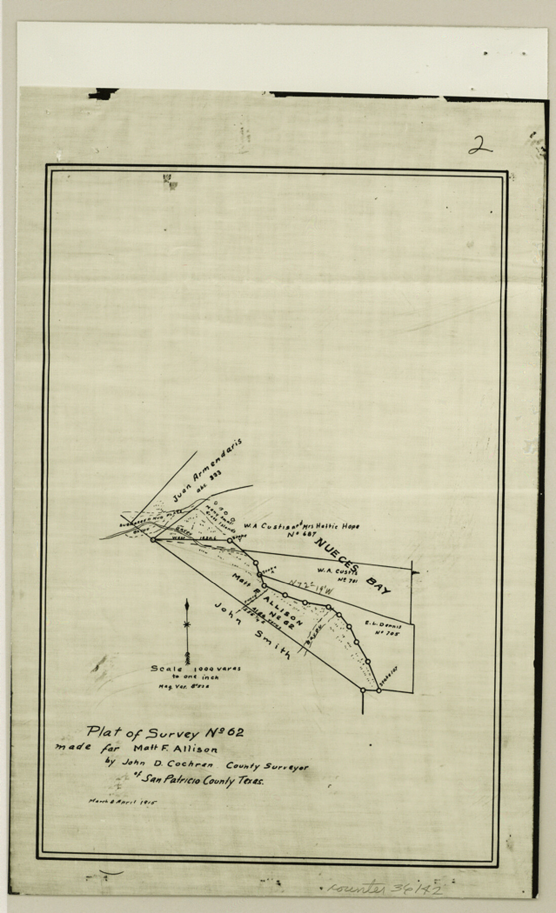
San Patricio County Sketch File 37
[Copies of field notes and sketches from multiple mineral files]
-
Map/Doc
36142
-
Collection
General Map Collection
-
Object Dates
1915-1916 (Creation Date)
-
People and Organizations
John D. Cochran (Surveyor/Engineer)
Charles H. Alvord (Surveyor/Engineer)
W.T. Deopker (Chainman/Field Personnel)
Frank Keller (Chainman/Field Personnel)
John Pons (Chainman/Field Personnel)
William Cody (Chainman/Field Personnel)
R.C. Briggs (Surveyor/Engineer)
Conrad M. Blucher (Surveyor/Engineer)
-
Counties
San Patricio
-
Subjects
Surveying Sketch File
-
Height x Width
10.5 x 6.4 inches
26.7 x 16.3 cm
-
Medium
photostat
-
Features
Nueces Bay
Aransas Pass
Aransas Bay
Harbor Island
Red Fish Bay
Corpus Christi Bay
Nueces River
Sinton
Corpus Christi
Part of: General Map Collection
Starr County Sketch File 32B

Print $20.00
- Digital $50.00
Starr County Sketch File 32B
1938
Size 19.9 x 21.5 inches
Map/Doc 12336
[Surveys near Crabapple Creek in the Bexar District]
![87, [Surveys near Crabapple Creek in the Bexar District], General Map Collection](https://historictexasmaps.com/wmedia_w700/maps/87.tif.jpg)
Print $2.00
- Digital $50.00
[Surveys near Crabapple Creek in the Bexar District]
1846
Size 9.1 x 7.0 inches
Map/Doc 87
[Map of Uvalde County]
![4108, [Map of Uvalde County], General Map Collection](https://historictexasmaps.com/wmedia_w700/maps/4108.tif.jpg)
Print $20.00
- Digital $50.00
[Map of Uvalde County]
1862
Size 27.7 x 26.7 inches
Map/Doc 4108
El Paso County Sketch File 5

Print $20.00
- Digital $50.00
El Paso County Sketch File 5
Size 25.3 x 18.9 inches
Map/Doc 11450
Duval County Working Sketch 22

Print $20.00
- Digital $50.00
Duval County Working Sketch 22
1942
Size 21.9 x 26.0 inches
Map/Doc 68746
Bosque County, Milam District

Print $20.00
- Digital $50.00
Bosque County, Milam District
1876
Size 24.0 x 29.1 inches
Map/Doc 1519

Kinney County

Print $40.00
- Digital $50.00
Kinney County
1909
Size 49.8 x 44.2 inches
Map/Doc 66893
Map of the Lower Rio Grande, accompanying report of the special committee on Texas frontier troubles, appointed by the House of Representatives, Jan. 6, 1876

Print $20.00
- Digital $50.00
Map of the Lower Rio Grande, accompanying report of the special committee on Texas frontier troubles, appointed by the House of Representatives, Jan. 6, 1876
1876
Size 12.1 x 17.6 inches
Map/Doc 95406
Webb County Sketch File 52

Print $40.00
- Digital $50.00
Webb County Sketch File 52
1939
Size 14.2 x 16.7 inches
Map/Doc 39839
Runnels County Working Sketch 17

Print $20.00
- Digital $50.00
Runnels County Working Sketch 17
1950
Size 27.1 x 21.5 inches
Map/Doc 63613
Erath County Sketch File 10

Print $4.00
- Digital $50.00
Erath County Sketch File 10
1871
Size 8.1 x 10.3 inches
Map/Doc 22275
You may also like
Map of the Reconnaissance in Texas by Lieuts Blake & Meade of the Corps of Topl. Engrs.

Print $20.00
- Digital $50.00
Map of the Reconnaissance in Texas by Lieuts Blake & Meade of the Corps of Topl. Engrs.
1845
Size 27.7 x 18.5 inches
Map/Doc 72892
Presidio County Working Sketch 73

Print $20.00
- Digital $50.00
Presidio County Working Sketch 73
1962
Size 17.7 x 29.4 inches
Map/Doc 71750
Sabine County

Print $20.00
- Digital $50.00
Sabine County
1920
Size 44.6 x 35.1 inches
Map/Doc 16805
The Republic County of Bexar. December 2, 1841

Print $20.00
The Republic County of Bexar. December 2, 1841
2020
Size 14.8 x 21.7 inches
Map/Doc 96098
Crockett County Rolled Sketch 70

Print $20.00
- Digital $50.00
Crockett County Rolled Sketch 70
1949
Size 15.1 x 17.0 inches
Map/Doc 5612
Titus County Working Sketch Graphic Index

Print $20.00
- Digital $50.00
Titus County Working Sketch Graphic Index
1948
Size 40.2 x 29.0 inches
Map/Doc 76714
Map of Victoria County

Print $20.00
- Digital $50.00
Map of Victoria County
1895
Size 28.7 x 27.0 inches
Map/Doc 4117
Runnels County Sketch File 11

Print $8.00
Runnels County Sketch File 11
1883
Size 10.7 x 7.9 inches
Map/Doc 35452
Presidio County Rolled Sketch 2

Print $20.00
- Digital $50.00
Presidio County Rolled Sketch 2
Size 30.2 x 18.6 inches
Map/Doc 7326
[Double Lakes Area Northwest of Tohoka, Block 3, Surveys 319, 321, and 322]
![91298, [Double Lakes Area Northwest of Tohoka, Block 3, Surveys 319, 321, and 322], Twichell Survey Records](https://historictexasmaps.com/wmedia_w700/maps/91298-1.tif.jpg)
Print $20.00
- Digital $50.00
[Double Lakes Area Northwest of Tohoka, Block 3, Surveys 319, 321, and 322]
Size 21.1 x 20.1 inches
Map/Doc 91298
Pecos County Rolled Sketch 127

Print $20.00
- Digital $50.00
Pecos County Rolled Sketch 127
Size 20.7 x 23.9 inches
Map/Doc 7267
Atascosa County Sketch File 2a

Print $40.00
- Digital $50.00
Atascosa County Sketch File 2a
Size 25.1 x 15.3 inches
Map/Doc 10858