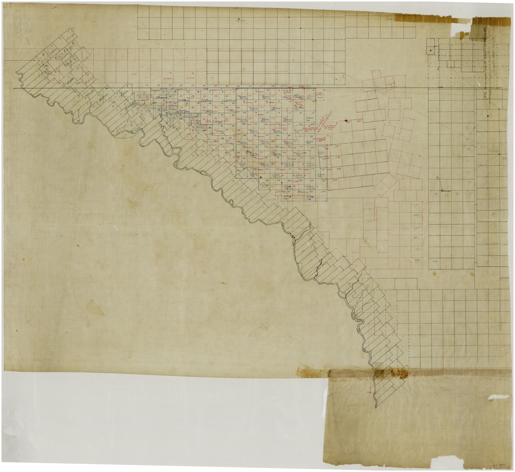
Hudspeth County Rolled Sketch 20
[Large sketch of south and southwest Hudspeth County]
-
Map/Doc
76028
-
Collection
General Map Collection
-
Counties
Hudspeth
-
Subjects
Surveying Rolled Sketch
-
Height x Width
39.5 x 44.3 inches
100.3 x 112.5 cm
-
Medium
paper, manuscript
Part of: General Map Collection
Throckmorton County Working Sketch 7

Print $20.00
- Digital $50.00
Throckmorton County Working Sketch 7
1956
Size 25.8 x 32.0 inches
Map/Doc 62116

Atascosa County Working Sketch 1a

Print $20.00
- Digital $50.00
Atascosa County Working Sketch 1a
1908
Size 35.8 x 40.2 inches
Map/Doc 67194
Jeff Davis County Rolled Sketch 19

Print $40.00
- Digital $50.00
Jeff Davis County Rolled Sketch 19
1885
Size 37.1 x 57.9 inches
Map/Doc 9265
Val Verde County Working Sketch 77

Print $20.00
- Digital $50.00
Val Verde County Working Sketch 77
1972
Size 45.9 x 38.5 inches
Map/Doc 72212
Roberts County Working Sketch 39

Print $20.00
- Digital $50.00
Roberts County Working Sketch 39
1978
Size 26.6 x 22.7 inches
Map/Doc 63565
Travis County

Print $40.00
- Digital $50.00
Travis County
1880
Size 61.7 x 24.0 inches
Map/Doc 87934
Coleman County

Print $40.00
- Digital $50.00
Coleman County
1945
Size 54.5 x 35.4 inches
Map/Doc 77241
Flight Mission No. DAG-18K, Frame 75, Matagorda County

Print $20.00
- Digital $50.00
Flight Mission No. DAG-18K, Frame 75, Matagorda County
1952
Size 18.5 x 19.1 inches
Map/Doc 86368
Schleicher County Rolled Sketch 17

Print $20.00
- Digital $50.00
Schleicher County Rolled Sketch 17
Size 27.9 x 20.6 inches
Map/Doc 7759
Harris County Working Sketch 30

Print $20.00
- Digital $50.00
Harris County Working Sketch 30
1935
Size 25.9 x 28.0 inches
Map/Doc 65922
Nueces County Rolled Sketch 73

Print $20.00
- Digital $50.00
Nueces County Rolled Sketch 73
1981
Size 24.2 x 36.0 inches
Map/Doc 6931
You may also like
Gray County Working Sketch 3

Print $20.00
- Digital $50.00
Gray County Working Sketch 3
1958
Size 36.4 x 31.8 inches
Map/Doc 63234
Menard County Rolled Sketch 15

Print $20.00
- Digital $50.00
Menard County Rolled Sketch 15
1983
Size 27.9 x 22.0 inches
Map/Doc 6761
Pecos County, 1917

Print $20.00
- Digital $50.00
Pecos County, 1917
1917
Size 40.5 x 47.4 inches
Map/Doc 89707
Briscoe County Rolled Sketch 20

Print $20.00
- Digital $50.00
Briscoe County Rolled Sketch 20
1949
Size 37.4 x 21.7 inches
Map/Doc 5334
Map of The Surveyed Part of Peters Colony Texas

Print $40.00
- Digital $50.00
Map of The Surveyed Part of Peters Colony Texas
1852
Size 54.6 x 34.6 inches
Map/Doc 4654
Milam County Sketch File 1

Print $4.00
- Digital $50.00
Milam County Sketch File 1
1848
Size 10.7 x 7.8 inches
Map/Doc 31624
Bosque County Working Sketch 1

Print $20.00
- Digital $50.00
Bosque County Working Sketch 1
Size 16.3 x 13.7 inches
Map/Doc 67434
Frio County Rolled Sketch 5

Print $20.00
- Digital $50.00
Frio County Rolled Sketch 5
Size 25.7 x 23.0 inches
Map/Doc 5917
Flight Mission No. DQO-2K, Frame 98, Galveston County

Print $20.00
- Digital $50.00
Flight Mission No. DQO-2K, Frame 98, Galveston County
1952
Size 18.9 x 22.4 inches
Map/Doc 85025
Zavala County Rolled Sketch 16

Print $20.00
- Digital $50.00
Zavala County Rolled Sketch 16
Size 19.4 x 25.4 inches
Map/Doc 8321
Hartley County Sketch File 14

Print $6.00
- Digital $50.00
Hartley County Sketch File 14
1926
Size 11.2 x 8.7 inches
Map/Doc 26110
Clay County Boundary File 3

Print $4.00
- Digital $50.00
Clay County Boundary File 3
Size 11.2 x 8.6 inches
Map/Doc 51364