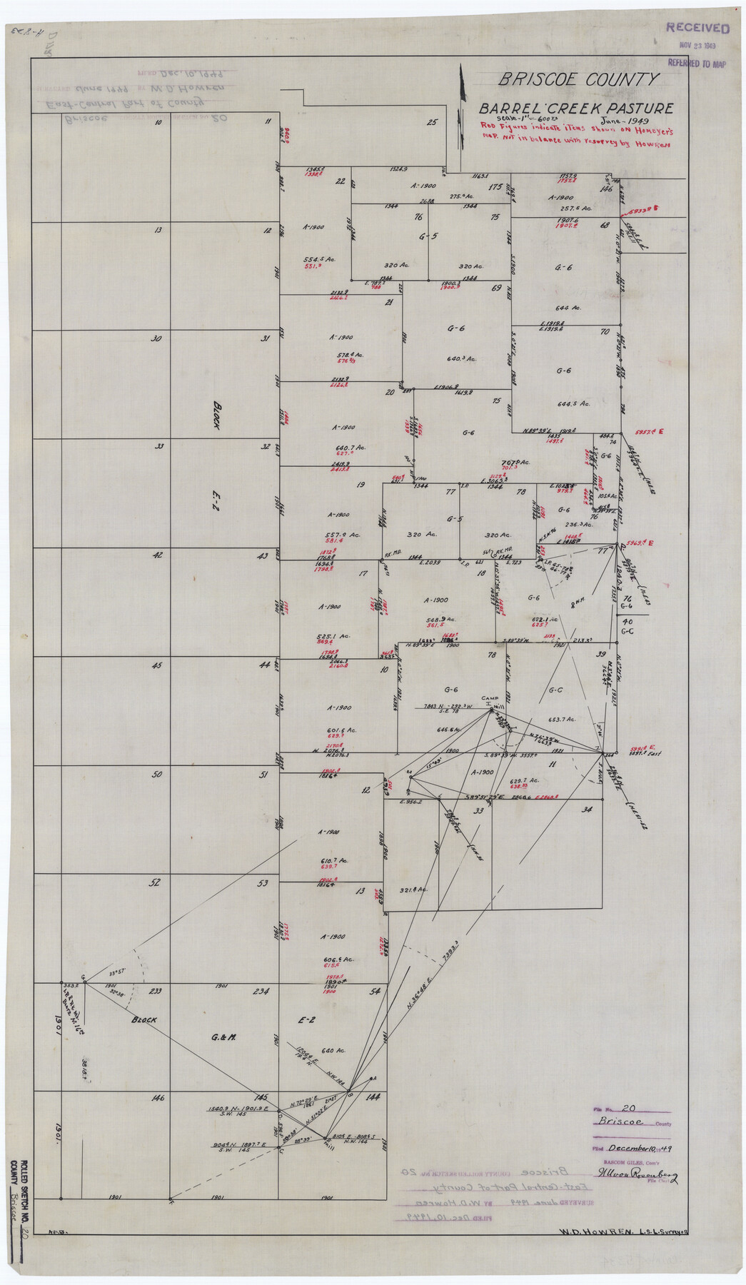
Briscoe County Rolled Sketch 20
Barrel Creek Pasture
-
Map/Doc
5334
-
Collection
General Map Collection
-
Object Dates
1949 (Creation Date)
1949/12/10 (File Date)
-
People and Organizations
W.D. Howren (Surveyor/Engineer)
-
Counties
Briscoe
-
Subjects
Surveying Rolled Sketch
-
Height x Width
37.4 x 21.7 inches
95.0 x 55.1 cm
-
Medium
linen, manuscript
-
Scale
1" = 600 varas
Part of: General Map Collection
Matagorda County

Print $20.00
- Digital $50.00
Matagorda County
1896
Size 32.7 x 30.5 inches
Map/Doc 5082
Starr County Working Sketch 8

Print $20.00
- Digital $50.00
Starr County Working Sketch 8
1939
Size 21.9 x 28.8 inches
Map/Doc 63924
Flight Mission No. CUG-2P, Frame 88, Kleberg County

Print $20.00
- Digital $50.00
Flight Mission No. CUG-2P, Frame 88, Kleberg County
1956
Size 18.5 x 22.2 inches
Map/Doc 86220
Coryell County Working Sketch 21

Print $20.00
- Digital $50.00
Coryell County Working Sketch 21
1973
Size 37.0 x 37.8 inches
Map/Doc 68228
Nacogdoches County Sketch File 19

Print $12.00
- Digital $50.00
Nacogdoches County Sketch File 19
1846
Size 17.0 x 11.0 inches
Map/Doc 32270
El Paso County Rolled Sketch 61

Print $20.00
- Digital $50.00
El Paso County Rolled Sketch 61
1994
Size 27.8 x 39.0 inches
Map/Doc 5853
Galveston County Sketch File 26

Print $4.00
- Digital $50.00
Galveston County Sketch File 26
1860
Size 11.8 x 5.7 inches
Map/Doc 23397
Duval County Rolled Sketch WSR

Print $20.00
- Digital $50.00
Duval County Rolled Sketch WSR
1938
Size 39.2 x 26.8 inches
Map/Doc 5772
Jefferson County Working Sketch 24

Print $20.00
- Digital $50.00
Jefferson County Working Sketch 24
1977
Size 28.4 x 44.5 inches
Map/Doc 66567
Map of Washington County

Print $20.00
- Digital $50.00
Map of Washington County
1841
Size 18.9 x 27.1 inches
Map/Doc 4126
Milam County Rolled Sketch 3B

Print $20.00
- Digital $50.00
Milam County Rolled Sketch 3B
1967
Size 30.8 x 24.5 inches
Map/Doc 6775
Map of Port Bolivar

Print $20.00
- Digital $50.00
Map of Port Bolivar
1893
Size 24.9 x 18.5 inches
Map/Doc 2191
You may also like
Upton County Working Sketch 24

Print $20.00
- Digital $50.00
Upton County Working Sketch 24
1953
Size 36.7 x 39.2 inches
Map/Doc 69520

Summer and Winter Health and Pleasure Resorts

Summer and Winter Health and Pleasure Resorts
1890
Size 7.7 x 5.6 inches
Map/Doc 97076
Trinity River, Bulletin 30C/Richland Creek

Print $6.00
- Digital $50.00
Trinity River, Bulletin 30C/Richland Creek
1937
Size 11.7 x 31.8 inches
Map/Doc 65245
Concho County Rolled Sketch 27

Print $20.00
- Digital $50.00
Concho County Rolled Sketch 27
2002
Size 30.5 x 40.5 inches
Map/Doc 78514
Old Miscellaneous File 10

Print $4.00
- Digital $50.00
Old Miscellaneous File 10
Size 9.6 x 8.2 inches
Map/Doc 75435
The Republic County of Bastrop. Boundaries Defined, December 18, 1837

Print $20.00
The Republic County of Bastrop. Boundaries Defined, December 18, 1837
2020
Size 14.7 x 21.7 inches
Map/Doc 96089
Kleberg County Rolled Sketch 13

Print $20.00
- Digital $50.00
Kleberg County Rolled Sketch 13
1995
Size 39.3 x 33.8 inches
Map/Doc 6554
Navigation Maps of Gulf Intracoastal Waterway, Port Arthur to Brownsville, Texas

Print $4.00
- Digital $50.00
Navigation Maps of Gulf Intracoastal Waterway, Port Arthur to Brownsville, Texas
1951
Size 16.6 x 21.3 inches
Map/Doc 65451
University Lands Blocks 14 & 15, Crockett & Upton Counties

Print $20.00
- Digital $50.00
University Lands Blocks 14 & 15, Crockett & Upton Counties
1936
Size 36.6 x 25.5 inches
Map/Doc 2446
Chambers County Sketch File 41

Print $32.00
- Digital $50.00
Chambers County Sketch File 41
Size 14.7 x 9.1 inches
Map/Doc 17694
Sutton County

Print $40.00
- Digital $50.00
Sutton County
1941
Size 43.9 x 56.1 inches
Map/Doc 73296