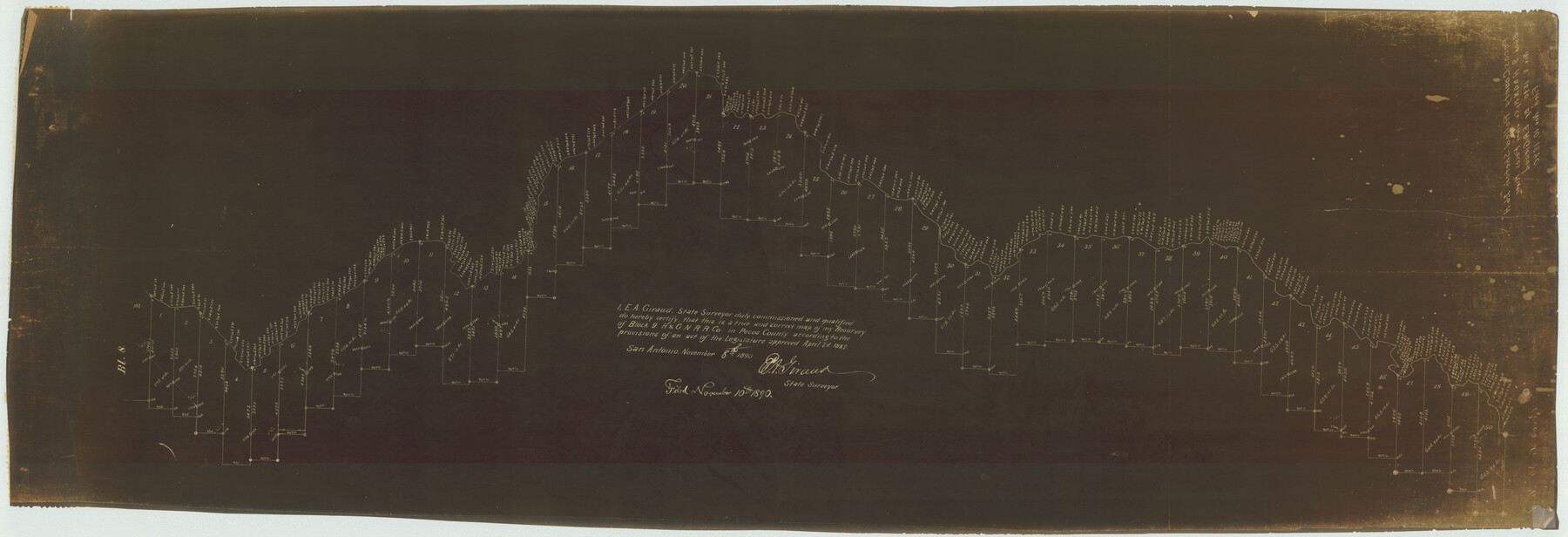
Pecos County Rolled Sketch 26A
[Sketch of resurvey of Block 9, H. & G. N. R.R. Co.]
-
Map/Doc
75934
-
Collection
General Map Collection
-
Object Dates
1890/11/8 (Creation Date)
1890/11/10 (File Date)
-
People and Organizations
E.A. Giraud (Surveyor/Engineer)
-
Counties
Pecos
-
Subjects
Surveying Rolled Sketch
-
Height x Width
19.0 x 55.5 inches
48.3 x 141.0 cm
-
Medium
photostat
Part of: General Map Collection
Texas City Channel, Texas, Channel and Turning Basin Dredging - Sheet 6

Print $20.00
- Digital $50.00
Texas City Channel, Texas, Channel and Turning Basin Dredging - Sheet 6
1958
Size 28.6 x 40.6 inches
Map/Doc 61836
San Patricio County Rolled Sketch 36

Print $40.00
- Digital $50.00
San Patricio County Rolled Sketch 36
Size 42.3 x 48.1 inches
Map/Doc 9899
Fort Bend County Sketch File 24

Print $20.00
- Digital $50.00
Fort Bend County Sketch File 24
1890
Size 23.5 x 32.4 inches
Map/Doc 11509
Jefferson County Working Sketch 20

Print $20.00
- Digital $50.00
Jefferson County Working Sketch 20
1960
Size 43.0 x 31.8 inches
Map/Doc 66563
Dimmit County Rolled Sketch 7

Print $20.00
- Digital $50.00
Dimmit County Rolled Sketch 7
1908
Size 25.0 x 30.5 inches
Map/Doc 5717
Bailey County Working Sketch 3

Print $20.00
- Digital $50.00
Bailey County Working Sketch 3
1922
Size 17.3 x 28.0 inches
Map/Doc 67590
The City of Austin and Suburbs

Print $40.00
- Digital $50.00
The City of Austin and Suburbs
1919
Size 120.7 x 41.2 inches
Map/Doc 88863
Kleberg County

Print $20.00
- Digital $50.00
Kleberg County
1913
Size 27.0 x 33.9 inches
Map/Doc 95560
Gaines County Rolled Sketch 29

Print $20.00
- Digital $50.00
Gaines County Rolled Sketch 29
1990
Size 14.7 x 20.5 inches
Map/Doc 5942
University Lands Situated in Robertson County

Print $20.00
- Digital $50.00
University Lands Situated in Robertson County
1841
Size 22.8 x 26.2 inches
Map/Doc 281
Ward County Working Sketch 40

Print $20.00
- Digital $50.00
Ward County Working Sketch 40
1969
Size 24.4 x 45.7 inches
Map/Doc 72346

You may also like
Calhoun County Sketch File 19

Print $70.00
- Digital $50.00
Calhoun County Sketch File 19
1998
Size 11.1 x 8.1 inches
Map/Doc 35992
Ellis County, Texas

Print $20.00
- Digital $50.00
Ellis County, Texas
1879
Size 21.2 x 29.6 inches
Map/Doc 714
Fisher County

Print $40.00
- Digital $50.00
Fisher County
1944
Size 48.4 x 42.5 inches
Map/Doc 73147
Matagorda County Rolled Sketch 35

Print $20.00
- Digital $50.00
Matagorda County Rolled Sketch 35
1903
Size 18.6 x 38.0 inches
Map/Doc 6696
General Highway Map, Newton County, Texas

Print $20.00
General Highway Map, Newton County, Texas
1961
Size 19.3 x 25.0 inches
Map/Doc 79613
Midland County Working Sketch 23

Print $40.00
- Digital $50.00
Midland County Working Sketch 23
1956
Size 45.0 x 75.6 inches
Map/Doc 71004
Waco Village, County Seat of McLennan County

Print $20.00
Waco Village, County Seat of McLennan County
1850
Size 15.8 x 12.4 inches
Map/Doc 76268
Brewster County Sketch File NS-5

Print $22.00
- Digital $50.00
Brewster County Sketch File NS-5
Size 11.2 x 8.8 inches
Map/Doc 15983
[Sketch showing Blocks B8, B15, 43, 44, 45]
![90925, [Sketch showing Blocks B8, B15, 43, 44, 45], Twichell Survey Records](https://historictexasmaps.com/wmedia_w700/maps/90925-1.tif.jpg)
Print $20.00
- Digital $50.00
[Sketch showing Blocks B8, B15, 43, 44, 45]
Size 46.7 x 22.7 inches
Map/Doc 90925
Palo Pinto County Sketch File 24

Print $20.00
- Digital $50.00
Palo Pinto County Sketch File 24
Size 21.0 x 32.8 inches
Map/Doc 12136
Flight Mission No. CRC-4R, Frame 77, Chambers County

Print $20.00
- Digital $50.00
Flight Mission No. CRC-4R, Frame 77, Chambers County
1956
Size 18.9 x 22.5 inches
Map/Doc 84881
Map of the Capitol Land Reservation

Print $20.00
- Digital $50.00
Map of the Capitol Land Reservation
Size 25.4 x 24.3 inches
Map/Doc 90642